Tag Archives: Bridge

Travel Guide: Bamberg

Bamberg is located in a region of Bayern (Bavaria) called Franken (Franconia), and the regional slang and cuisine are Fränkisch rather than Bayrisch. I was pleasantly surprised to find that Fränkisch slang really is slang – the people generally spoke Hoch Deutsch (High German) and I could understand the accent. (This was hardly the case when I visited Munich, for example, where Bayrisch is really the local language. And rest assured, I have equal problems when people speak Thüringisch from here in Thuringia. An ongoing pattern when I learn a new German slang word is to clarify whether the word is Hoch Deutsch or Thüringisch; the distinction is important for my sometime-in-the-future German language test.)

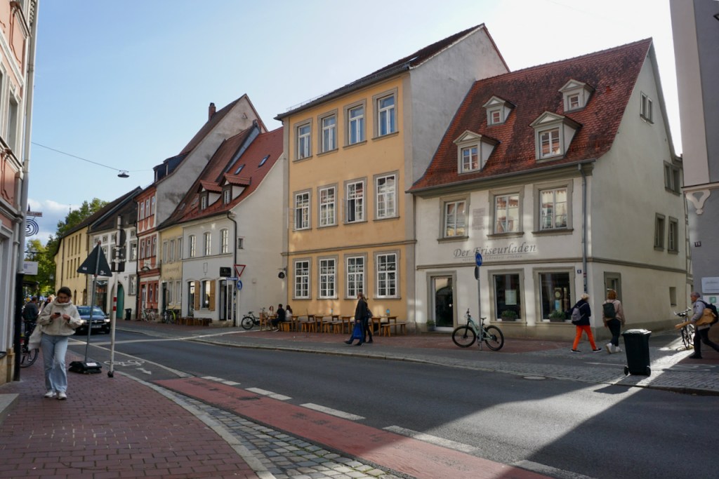
These stark regional differences make travelling even a couple hours away feel much farther, and it’s a lot of fun to hear difference forms of language, taste local beers, and experience local culture. We spent two nights in Bamberg and were delighted by what we found. The population is just a little larger than that of Weimar, but the town sprawls across seven hills. We spent our time in the old town and new old town on the opposite side of the river, going everywhere by foot, and we were pleased to see really excellent bicycle infrastructure everywhere. There were bike lanes and bike parking areas on every road, as well as pay parking in areas that would be free by us. And it definitely seemed like the population got the message! The number of people on bikes was correspondingly greater than I have seen in other German cities.

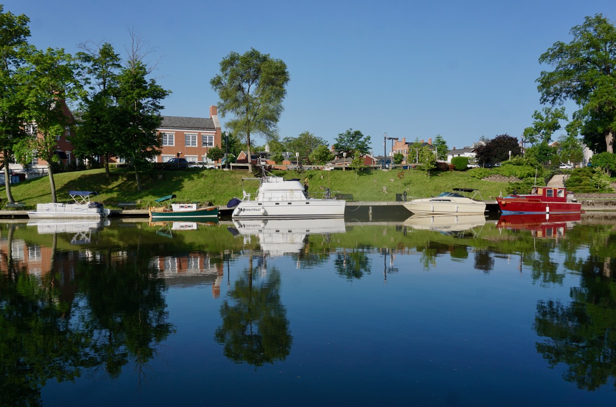
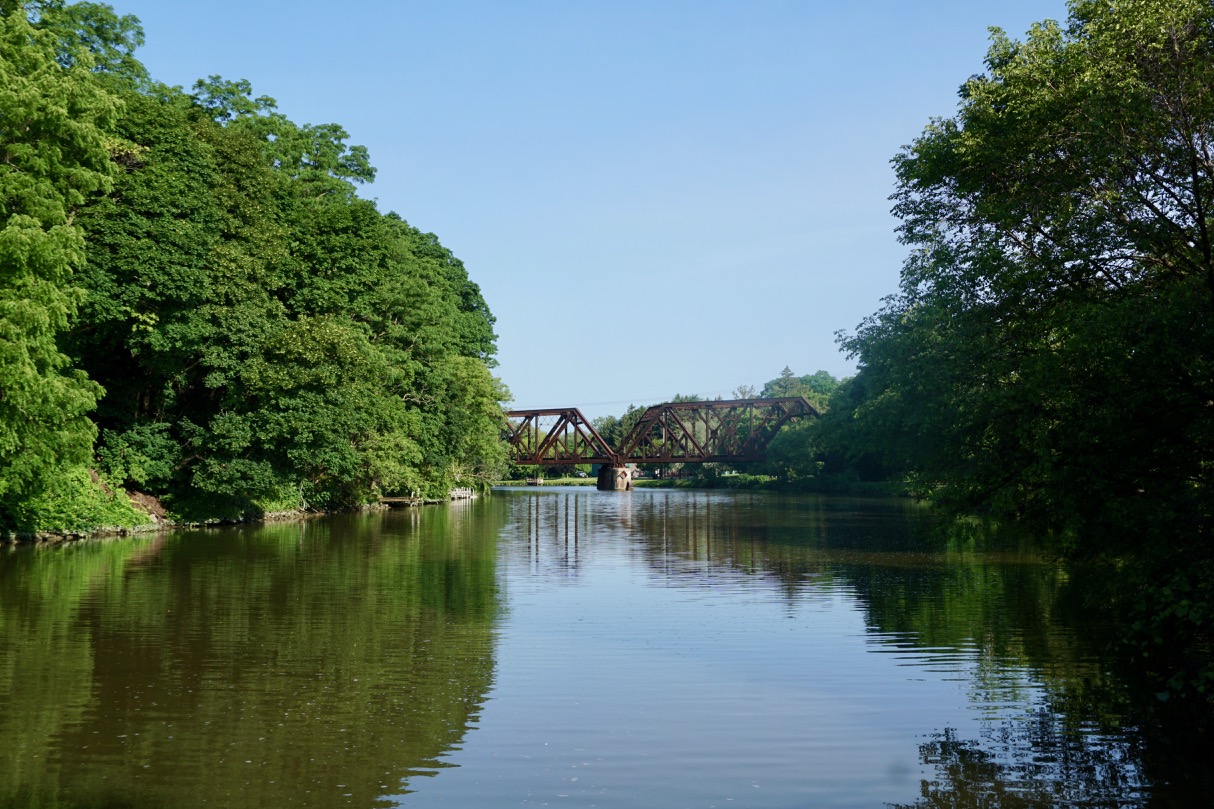
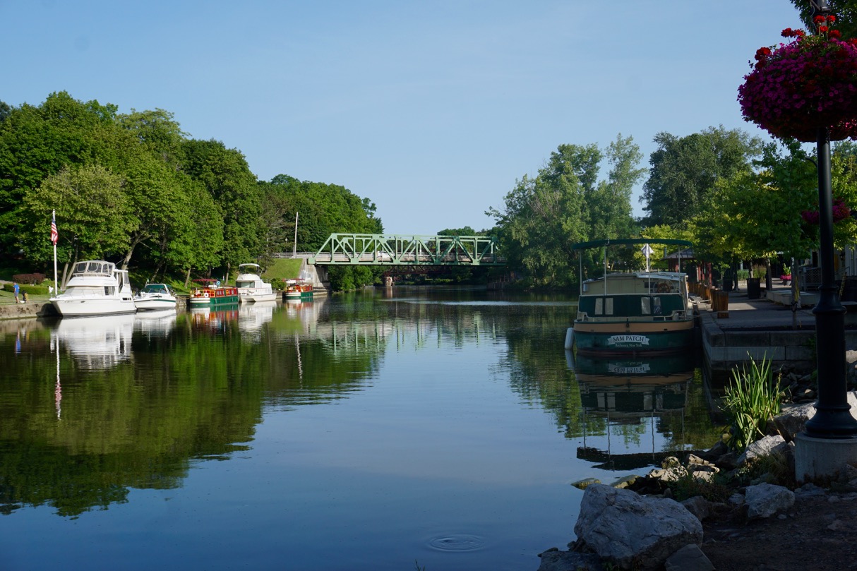
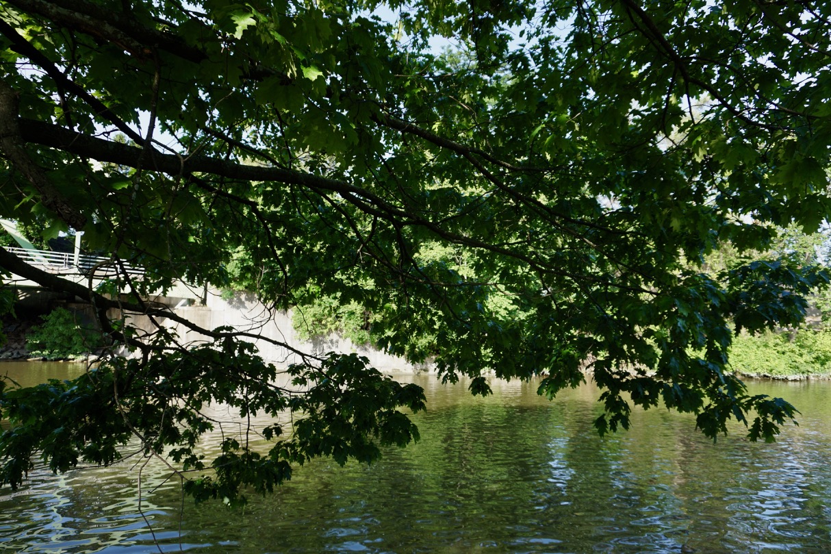
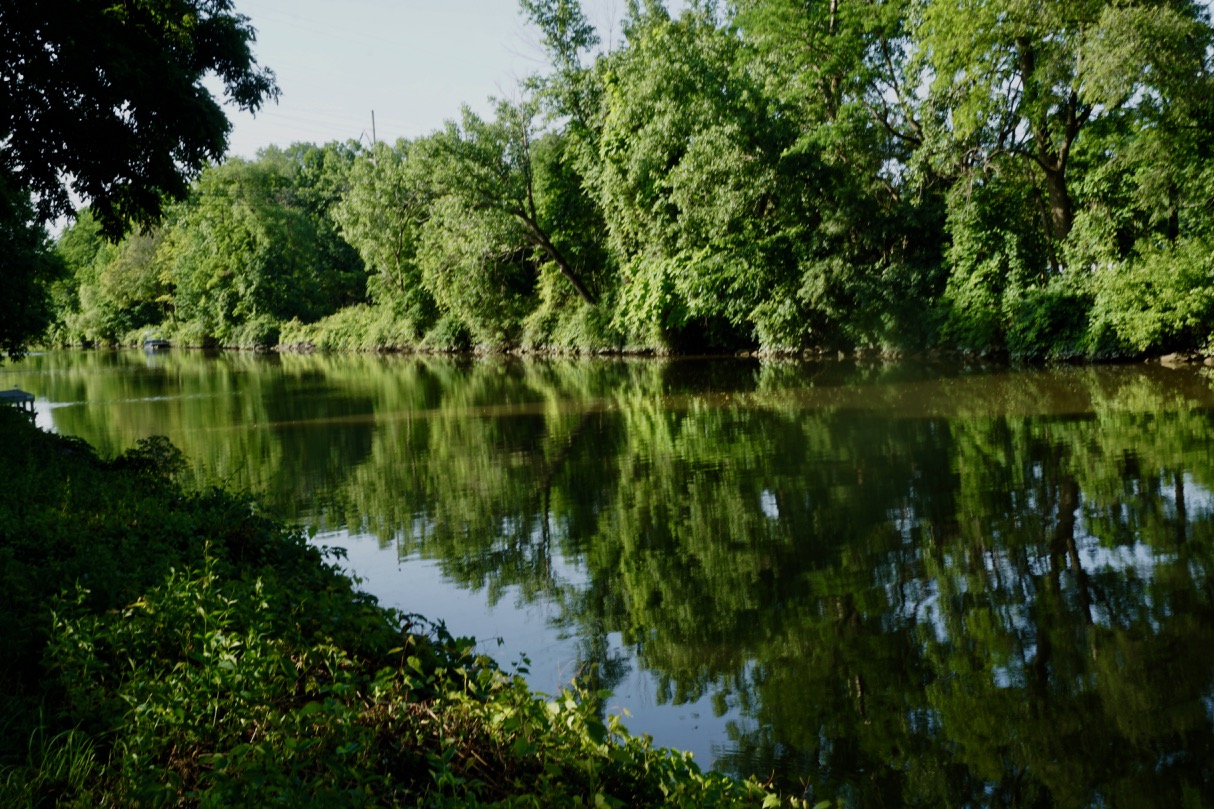
One element that makes Bamberg really special is its location where the Regnitz and Main rivers meet. There are canals that have been built to link the rivers and bridges to carry pedestrian, bicycle, and car traffic, so you’re never far from the water.

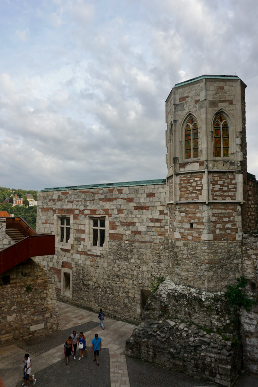
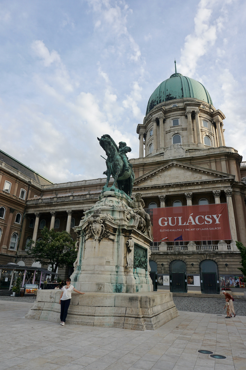
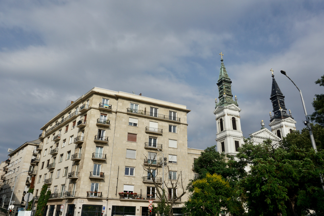
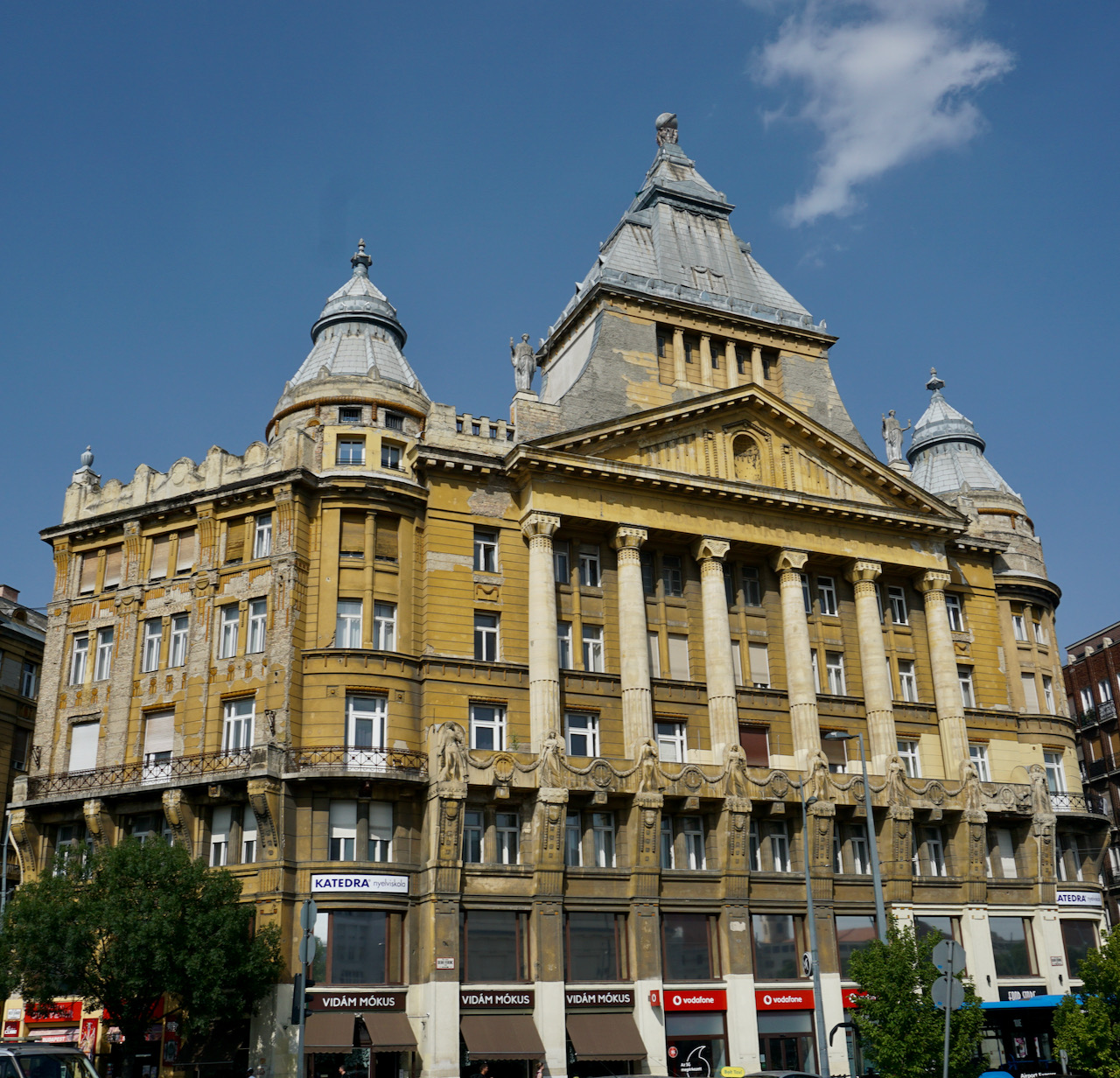
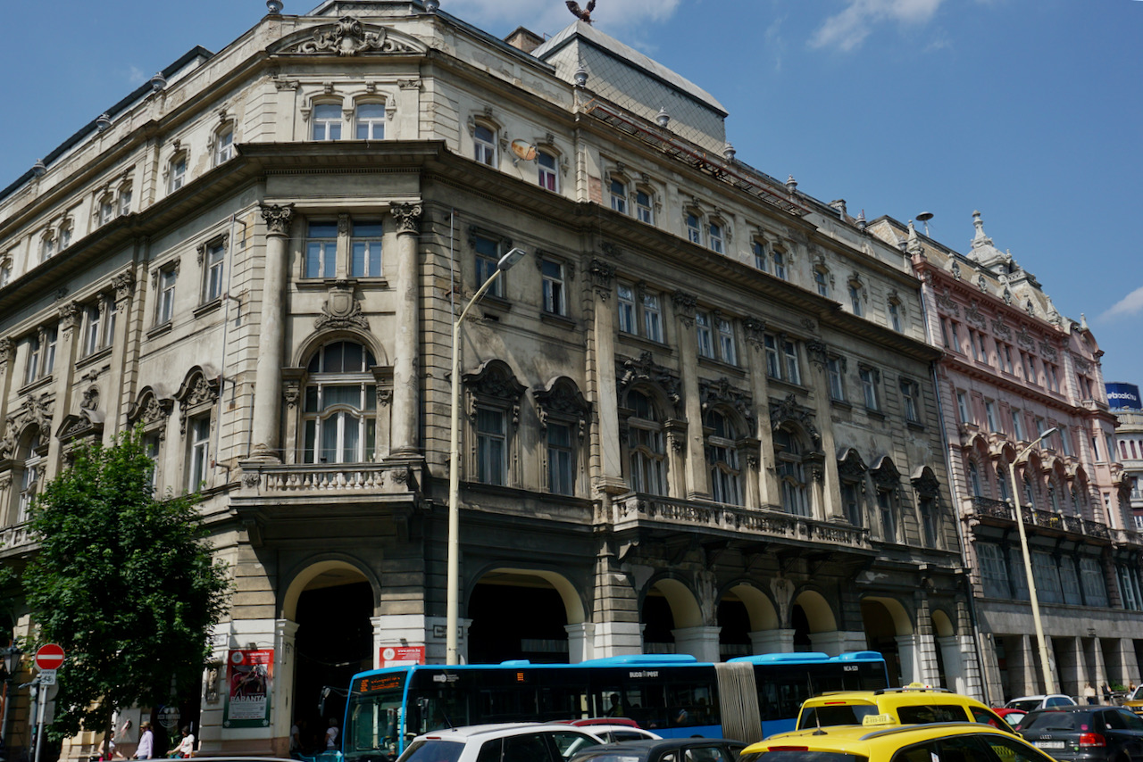
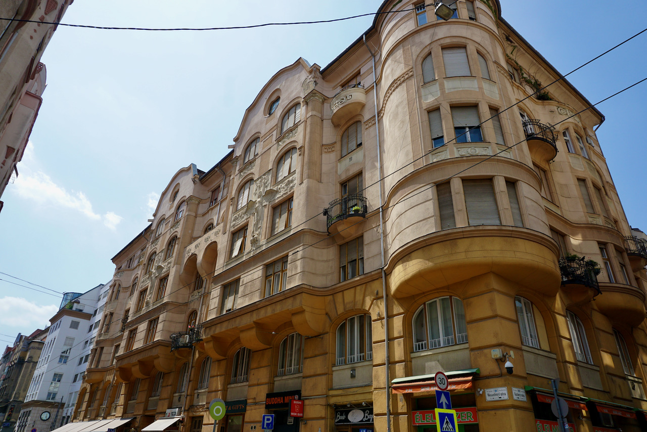
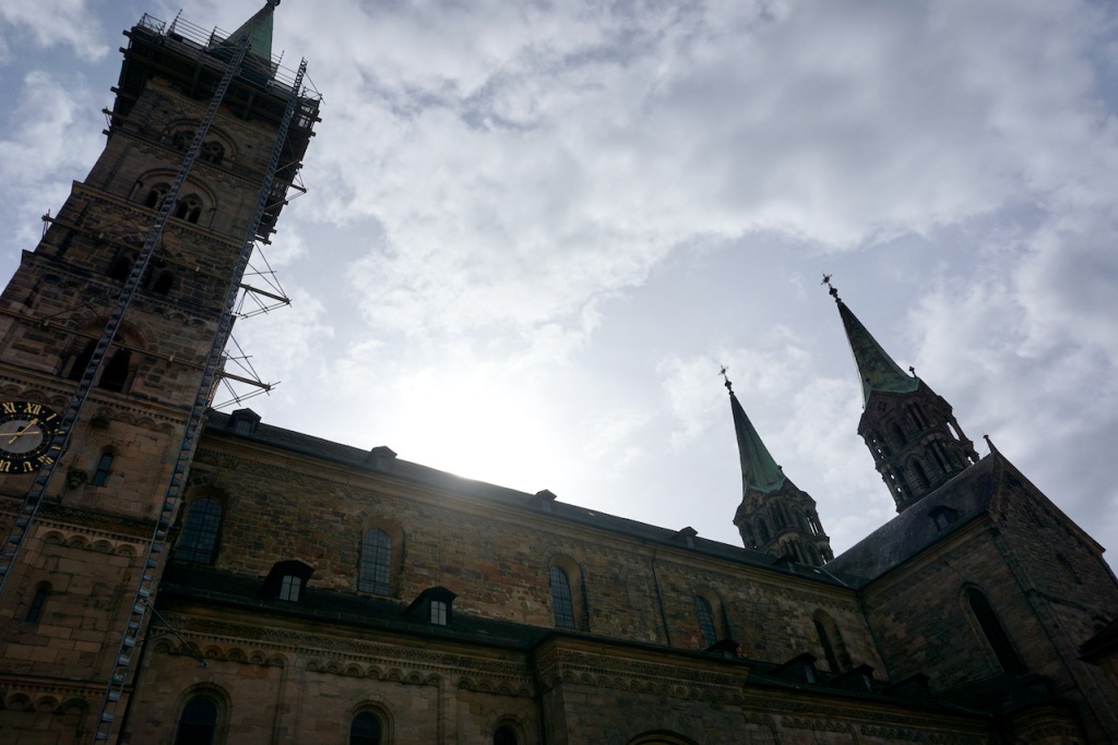
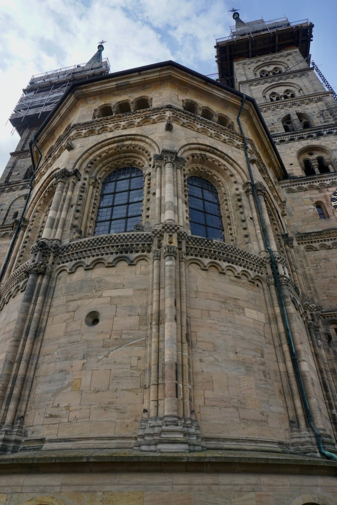
It didn’t take long to assess the wealth of this city, extending back hundreds of years. Each of Bamberg’s seven hills has a church, and Bamberg is host to a cathedral and monastery.

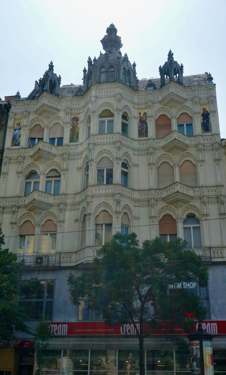
The old Rathaus, or town hall, is the highly decorated signal that one has entered the old town, and we photographed it at various times of day from different angles to play with the light.

We essentially stumbled into the courtyard of the old palace . . .

. . . just after a look at the city from the garden of the new.

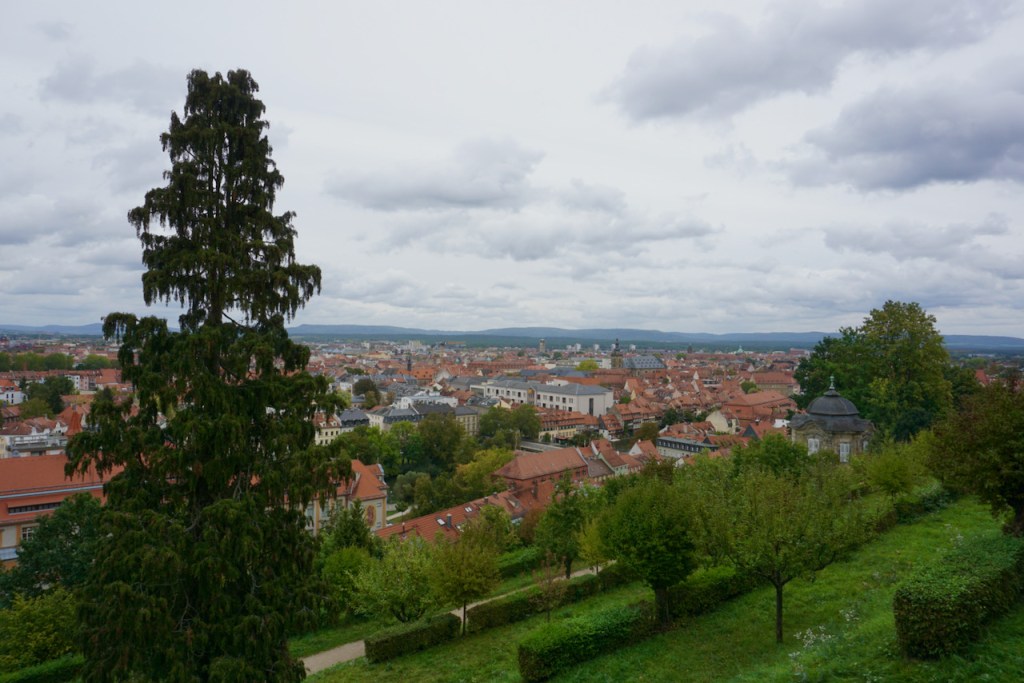
As always, we climbed to the highest point, this time at the monastery that towered above everything, and looked down. The red rooftops all over Germany never fail to put me right back into a child’s storybook.

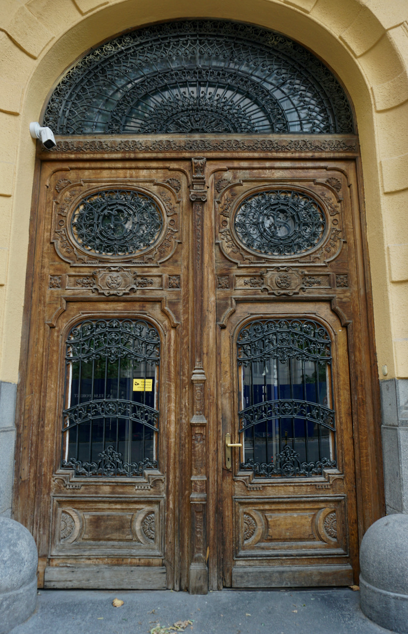
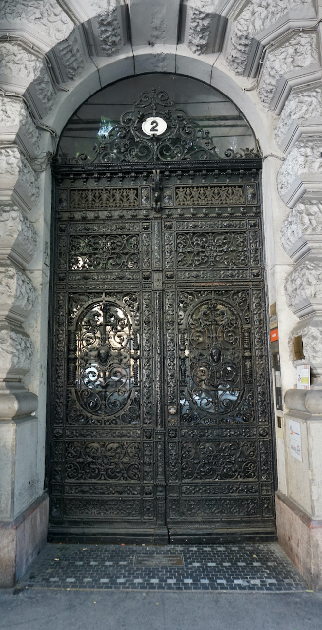
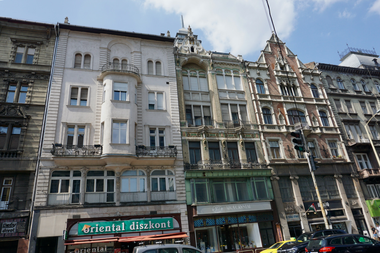
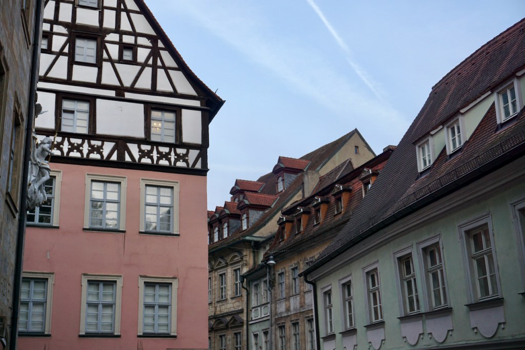
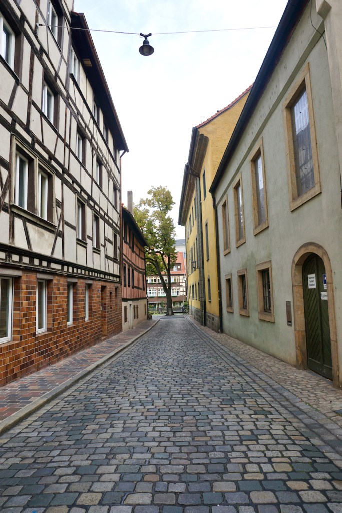
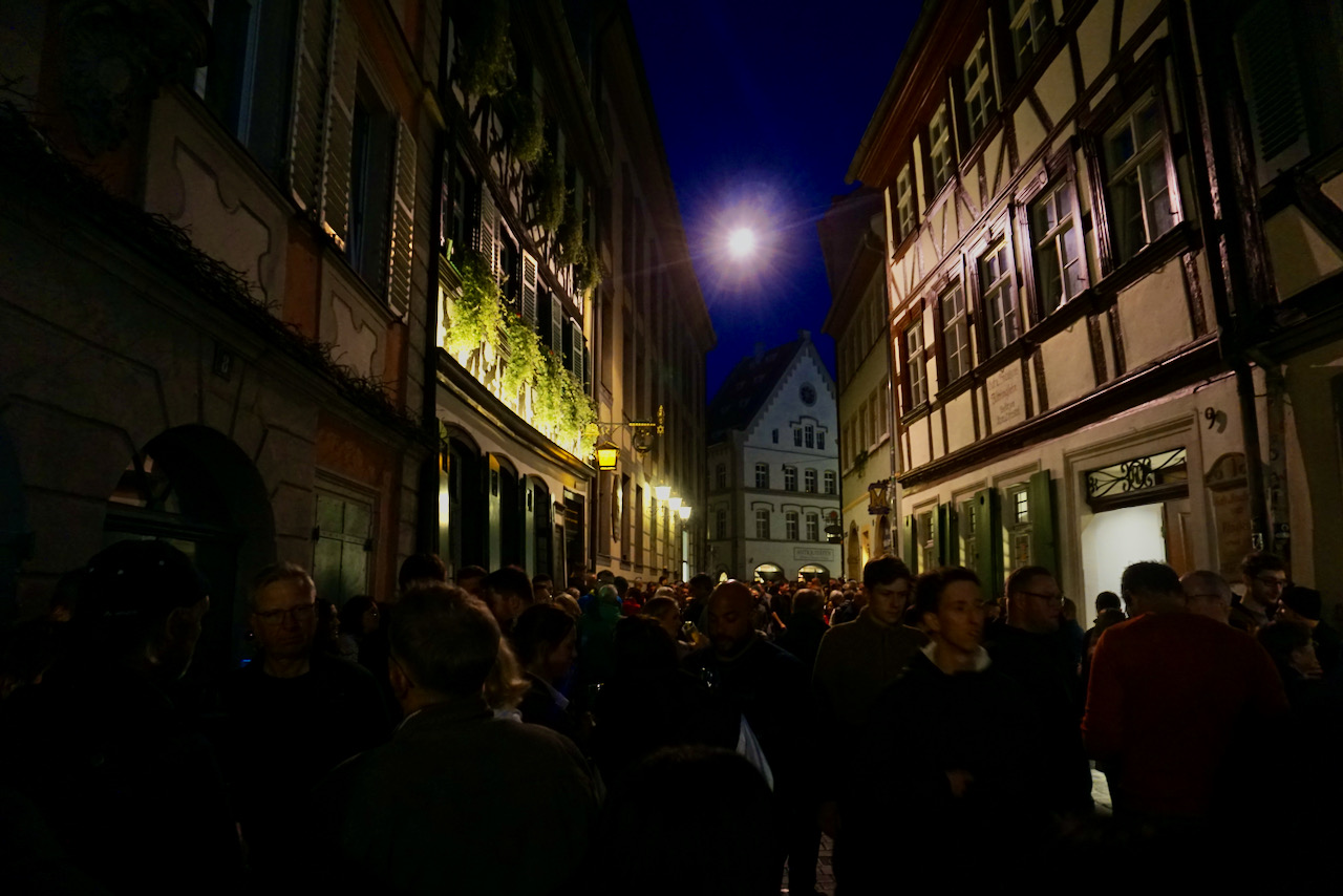
Another aspect of Bamberg that I really liked were the tiny alleyways that twisted into each other, occasionally broken up by the large squares that characterize many European cities. The buildings were ornate and detailed, another sign that this was a city that controlled trade and therefore amassed wealth.

Bamberg is known for its beer and Frankisch beer is distinct in multiple ways. Rauchbier, or smoked beer, is really only found there (it can stay, as far as I’m concerned) and the beer styles are somehow crisper in both colour and taste. Each pub is a brewer of its own beer and some have been operating since the 1400s. We visited the beer museum up at the monastery to learn more, and this is clearly a history that runs deep.

Additionally, a local tradition is the Stehbier, or standing beer. You walk into a brewery/pub/bar/restaurant and order a beer (or wine) to go. You pay the deposit on your glass and walk out into the street. The atmosphere was festive, though the environment was clearly entirely normal for the locals. By us, people bring bottles of beer and wine to the park. In Bamberg, you stand in the streets closed to cars. After all, taking part in the local culture is an essental part of travelling.

After two nights in a medieval town full of breweries, bookshops (I really couldn’t help myself), good food, and cheerful people, we drove about 20 minutes outside of town to climb in the famed Frankenjura. There are many reasons why this is one of the most popular climbing areas in the world, and climbing on the limestone there was a new experience. We’ll be back – after all, there’s climbing and beer.

Travel Guide: Budapest

I recently had the opportunity to travel to Budapest for work, an opportunity I relished not only as a chance to learn something new, but also as a chance to spend some time in a new place. As it turned out, I learned far more than I had hoped at the training, though it got in the way of my exploring. There is a lot to see in Budapest, which is already two cities rather than one, and my glance across the surface left me with a longer list than I had when I arrived.

After deciding I liked Budapest upon first seeing one of its many street bookstalls, I stood in front of Europe’s largest synagogue, completed in 1859. It surprised me that Dohány Street Synagogue is located in a country that is 99% Christian, according to my tour guide, in a city with restaurants serving food from all over the world, and that’s something I love about visiting new places.

I was staying on the Pest side of the Danube and that’s where I took a walking tour the afternoon of my arrival, always my favourite way to see a city and learn its history. We saw the landmarks Budapest is known for, such as Europe’s largest Parliament . . .

. . . the Hungarian State Opera . . .

 . . . St. Stephen’s Basilica . . .

. . . the Danube River and Széchenyi Chain Bridge (unfortunately closed to pedestrians due to construction) . . .

. . . and walked through a few of the parks that are an important part of local life.

It was on the walking tour that I learned about the monument that went up overnight in 2014, an attempt to change the narrative of Hungary’s role in World War II. The counter-monument placed by the people of Budapest aimed to rewrite that wrong.

It came as a surprise that history was being rewritten in a city with a memorial called Shoes on the Danube Bank, commemorating the 3,500 people told to remove their shoes before being executed and their bodies thrown into the river during the Arrow Cross terror of 1944-1945. 

This memorial is on the Pest side of the Danube and, with eyes towards Buda on the other side, I headed over to do what I always try to do in a new place: Find the highest point and look down. In Budapest, this meant crossing the bridge to Buda and walking up to the Citadel.

Once in Buda, I walked along the Danube, marvelling at the force of the wind that cooled the air that had been steamy and humid when I arrived the day before. I went up to Buda Castle and looked down again.

I left by bus when it began to get dark. There was so much more to see.

With the time I had outside of the training, other wandering was an exploration of ornate doors . . .

. . . murals . . .

. . . and buildings that I liked for their appearance, a mix of architecture from before the wars, the Soviet period, and the time since.

I walked along Andrássy Avenue to its end at Heroes’ Square . . . 

. . . and came upon Vajdahunyad Castle, build in 1896 to mark the millennium of Hungary’s beginning as a modern state; it’s an art museum today, one of many in Budapest.

Making mental lists of what I still wanted to discover, it was time to go. I left Budapest having tried new foods, made plans for a new role at school, and learned to greet, thank, and bid farewell in Hungarian. As always when travelling, I left with more than I had when I arrived, and I left grateful for the opportunity to be there.

15 Miles on the Erie Canal

If you grew up in upstate New York, you know the song I’m referring to in the title. My favorite version of this 1905 song by Thomas Allen is by the Dady Brothers, a local group best known for their Irish music. Whether you know the song or just want some appropriate background music for the post below, you can listen here. This particular song is the fifth track, “The Erie Canal Song,” and the second song in the sample. Enjoy and enjoy!

The rest of the album is great, too. We listened to it every single cruise when I worked on tour boats on the Erie Canal and Genesee River. These waterways created Rochester and its surrounding towns and villages, gave them life. However, Rochester has also suffered over time and that began when trains supplanted boats as the easiest way to ship goods. Have you ever wondered why the canal bridges are so low? (“Low bridge, everybody down, low bridge for we’re coming to a town!”) Because the train companies built them that way! You can’t stack goods on line boats (built for cargo) when going under low bridges.

Anyway, I’ve been fortunate in learning about the waterways here and spending so much time getting to know them. When I’m in Rochester for the summer I run on the canal several times a week and I’m captivated, every single time, by the world around me. For many years, I preferred a route from Pittsford village west to Lock 32 but this summer I fell in adoration with a route heading east from Pittsford towards Fairport. Because it’s beautiful I wanted to photograph it and share it with you. Please join me. I promise I won’t talk too much.

Views of a Run While Walking

My run begins a little ways outside the village but it’s the bridge I’m excited for. Instead of crossing the bridge (one of three in my immediate view) I follow the path underneath.

Hey look, my former “office”!

The Sam Patch is operated by Corn Hill Navigation. They’re a wonderful non-profit focused on educating people of all ages about the Erie Canal. (And they are my friends and former employers but not aware that I’m saying such nice things about them.)

I approach a cluster of abandoned buildings that have been abandoned for as long as anyone can remember. Imagine the stories they could tell!

The canal is lined with trees that lead the way . . .

. . . under a bridge . . .

. . . and onto a path that soon turns to gravel.

And then I’m overcome. There’s a breeze today and it’s brisk with traces of almost cool, the night burning off into a warm day. The air smells like morning and like sunshine. First I find the flowers, vines, and leaves.

Although I especially love the wildflowers . . .

. . . I’m almost reluctant to look anywhere except at the trees reflecting in the water masquerading as glass. The Erie Canal might be murky due to its natural bottom, but this is beautiful.

The people who live here have docks and I think of how nice it would be to watch the day dawn and the evening turn to night.

The light is dancing and as I look more closely, I smile at how dynamic the water actually is. A painting is before my eyes.

That’s more like it!

There are signs of life long past, too. This notice has been there for a very long time and the rules are still the rules . . .

. . . and this house was designed to fit into the landscape of farms and mule barns along the canal. After all, the mules had to rest!

There’s one more bridge I can photograph before my camera runs out of battery . . .

. . . and I can’t resist standing underneath it as cars cross overhead. How that scared me the first time!

Had I planned better I would have packed a snack, made coffee, pumped up the bicycle tires, and charged my camera. But I didn’t plan at all. Instead, I jumped out of bed with an idea and I ran with it. Sometimes it’s okay to do that.

Some years ago I wrote about how it feels to run along the Erie Canal in the morning. I can’t say it now better than I said it then, but now there are pictures to help tell the story. Thank you for spending this time with me.