Tag Archives: Sky

In the Alps: Ötztal

The German word “Hochtour” literally translates to “high tour” and the term is used to describe a mountaineering trek through the Alps that passes through snow or over a glacier. Last summer was my introduction to the Hochtour along the Berliner Höhenweg and climbing the Zugspitze, Germany’s tallest mountain. This summer’s adventure took me, my partner, and a friend into the Ötztal, home of Austria’s tallest mountains. This year, rather than the glacier being part of the adventure, the glacier was the adventure.

Day 1: Vent to Martin-Busch-Hütte

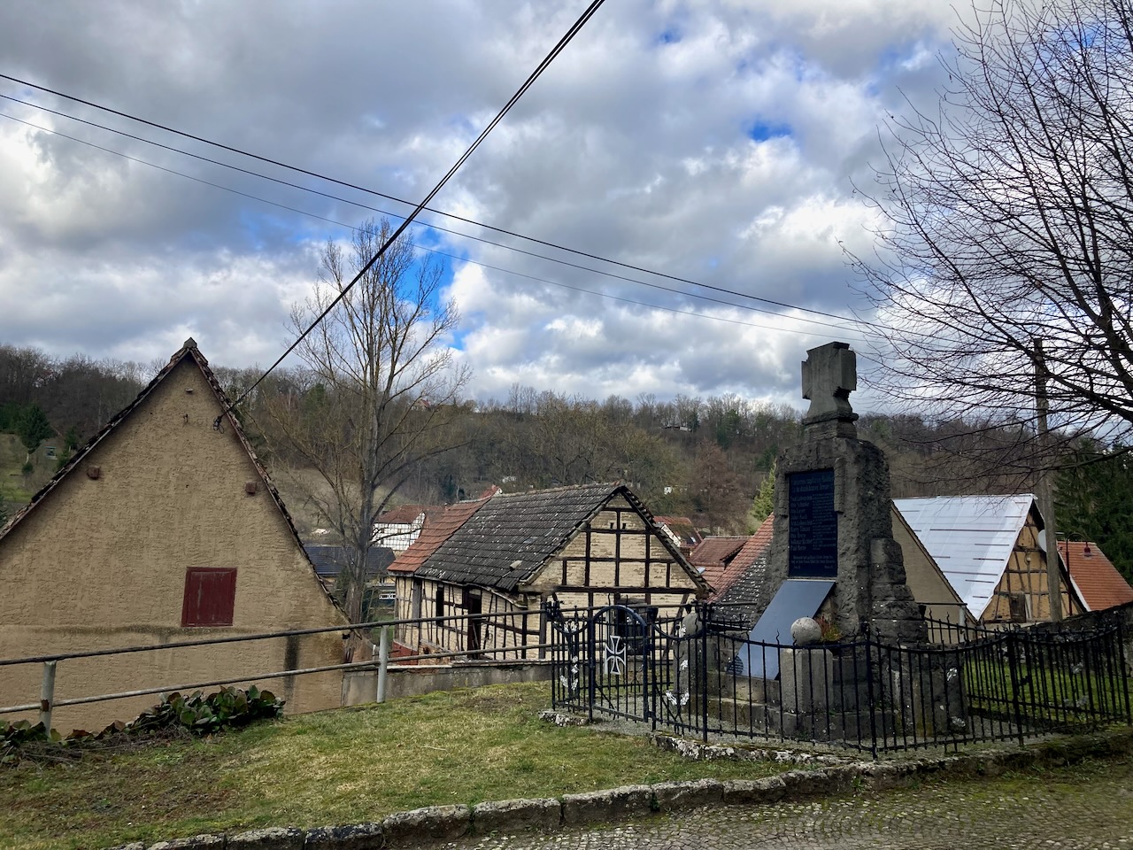
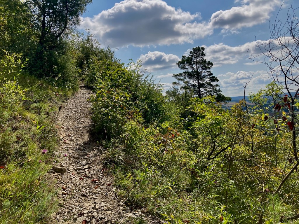
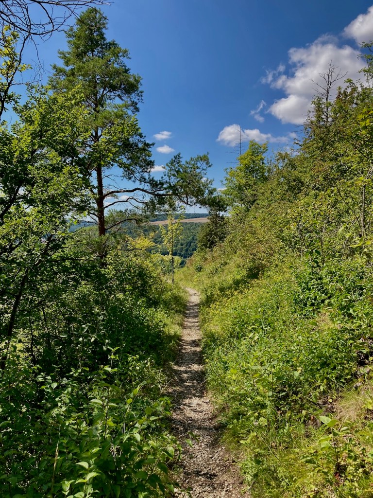
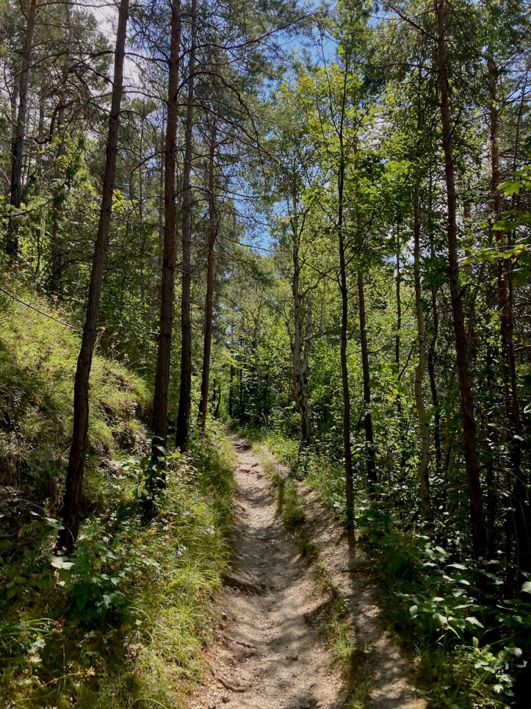
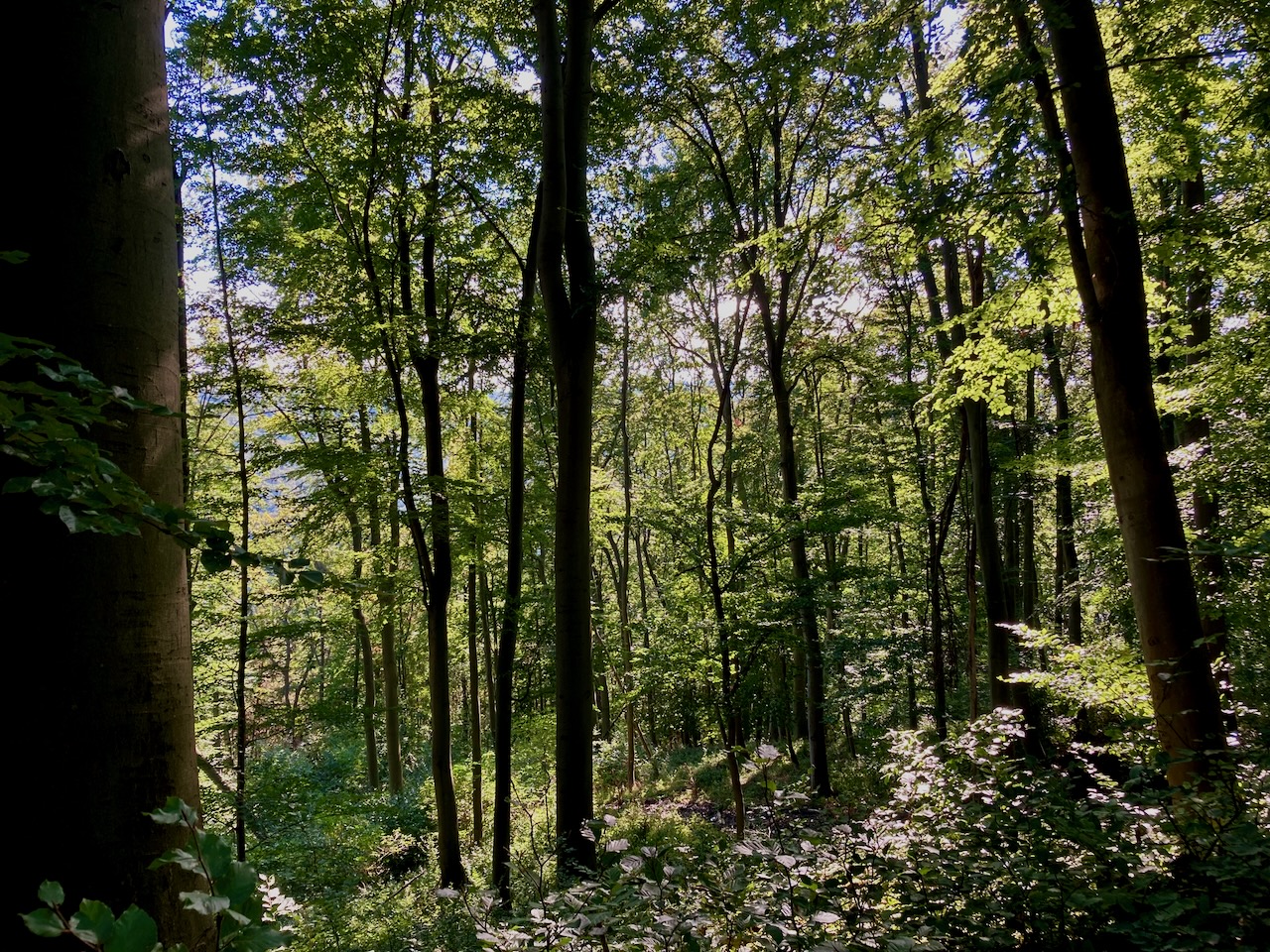
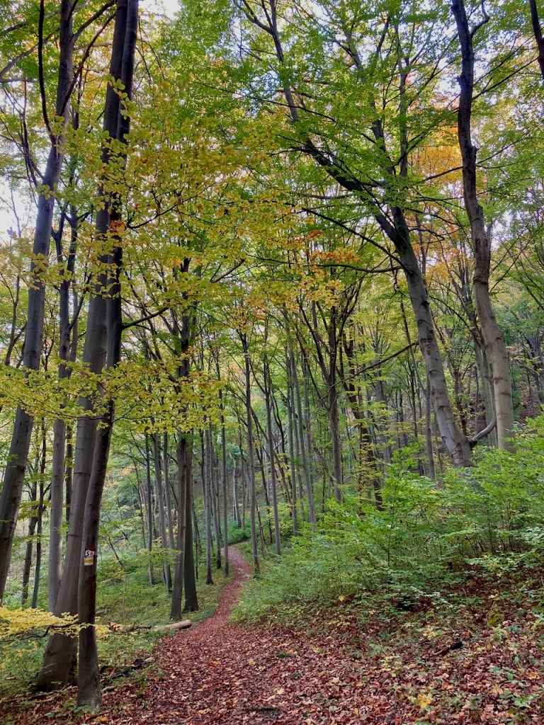
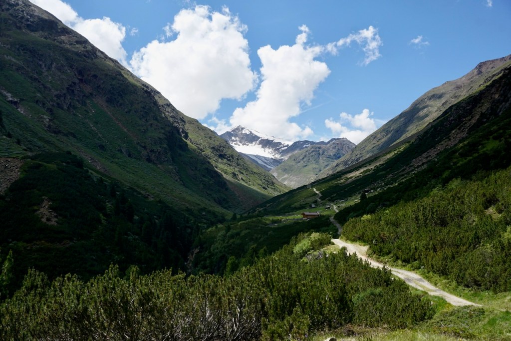
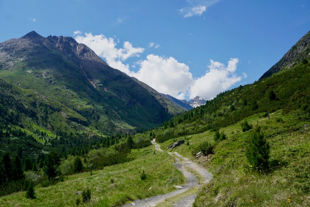
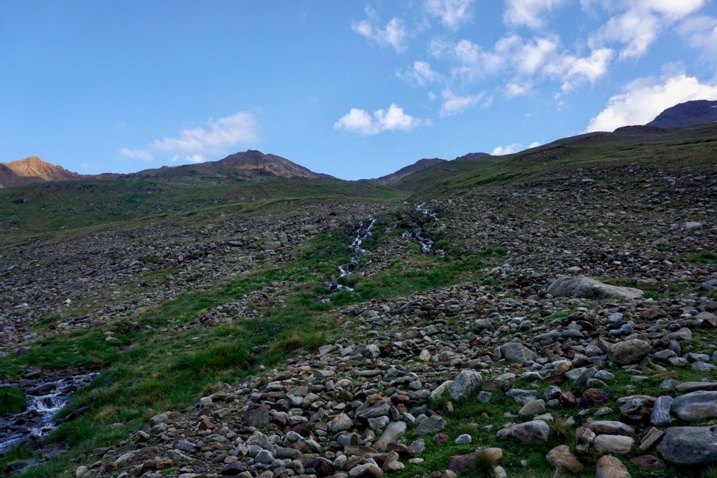
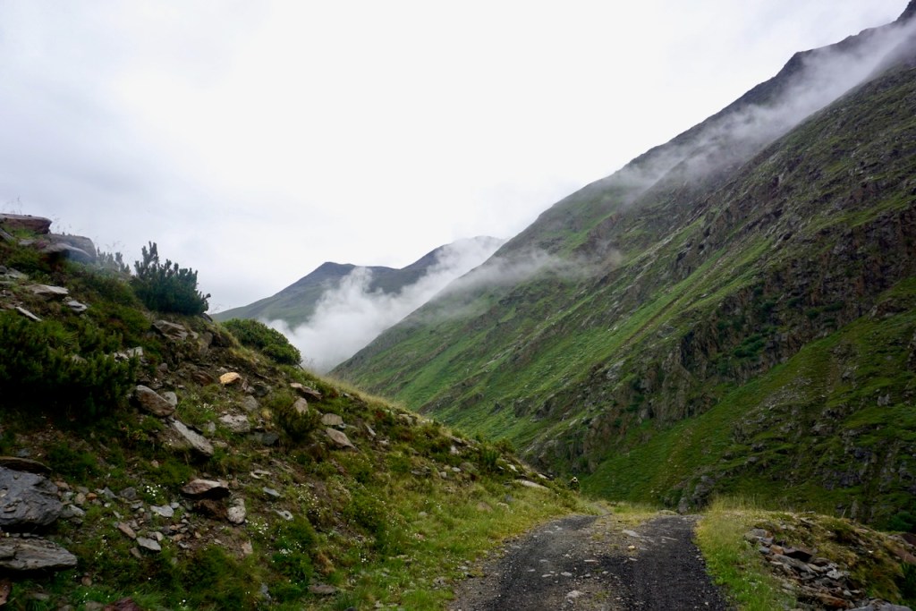
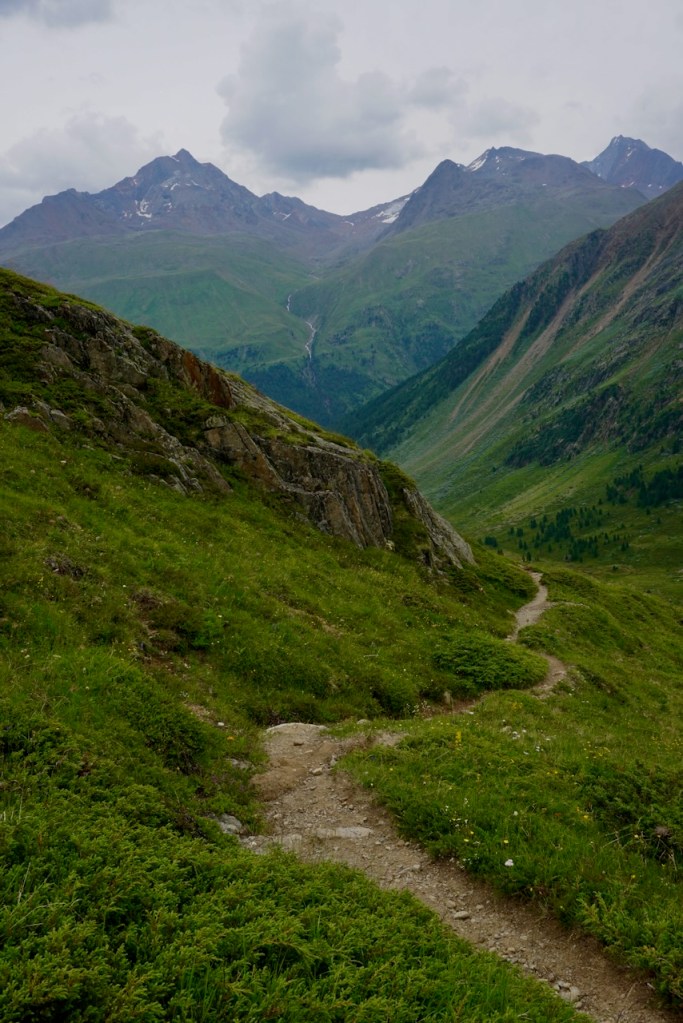
We began in the tiny town of Vent, following a trail that was steep immediately.

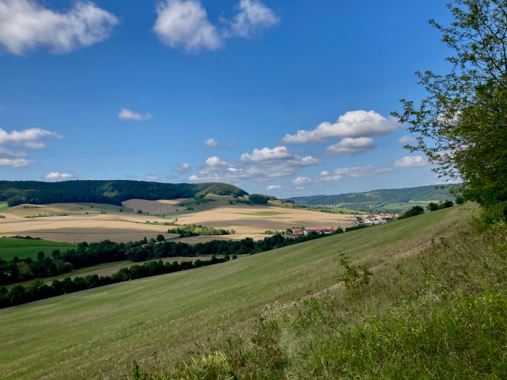
We walked toward glaciers in the distance, following the river that cut through the rock, witness to millions of years of time.

We passed an old shepherd’s hut, and we didn’t know it at the time, but we’d meet the shepherd and his dogs another day. The much more modern house we had passed earlier was his.

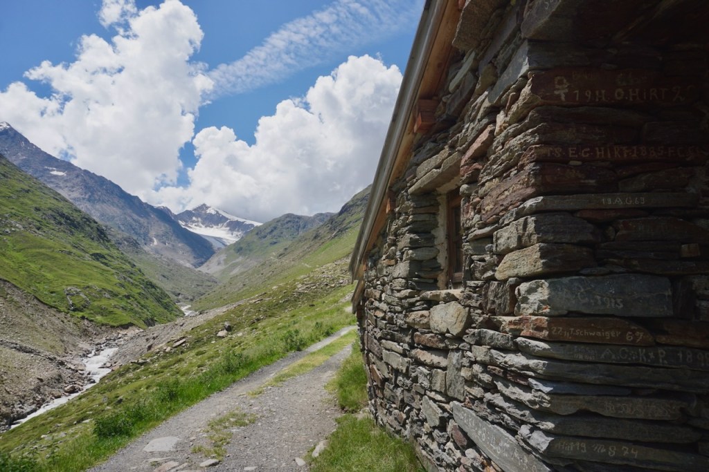
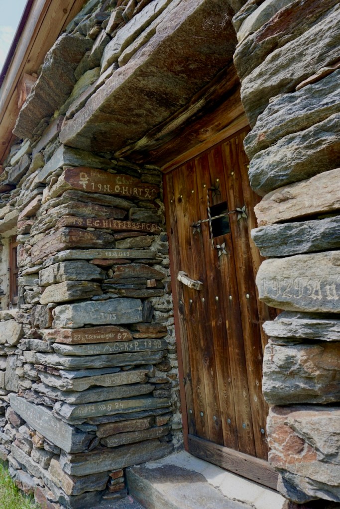
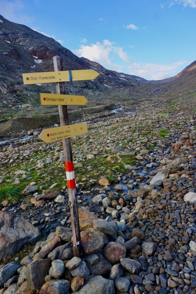
After a few hours, eight kilometers, and 600 meters of elevation, we reached the end of civilization and the beginning of our adventure. We would spend two nights at the Martin-Busch-Hütte, allowing us the luxury of leaving many of our belongings behind for our summit tour the following day. As the sign said, we were in the last spot for cell service.

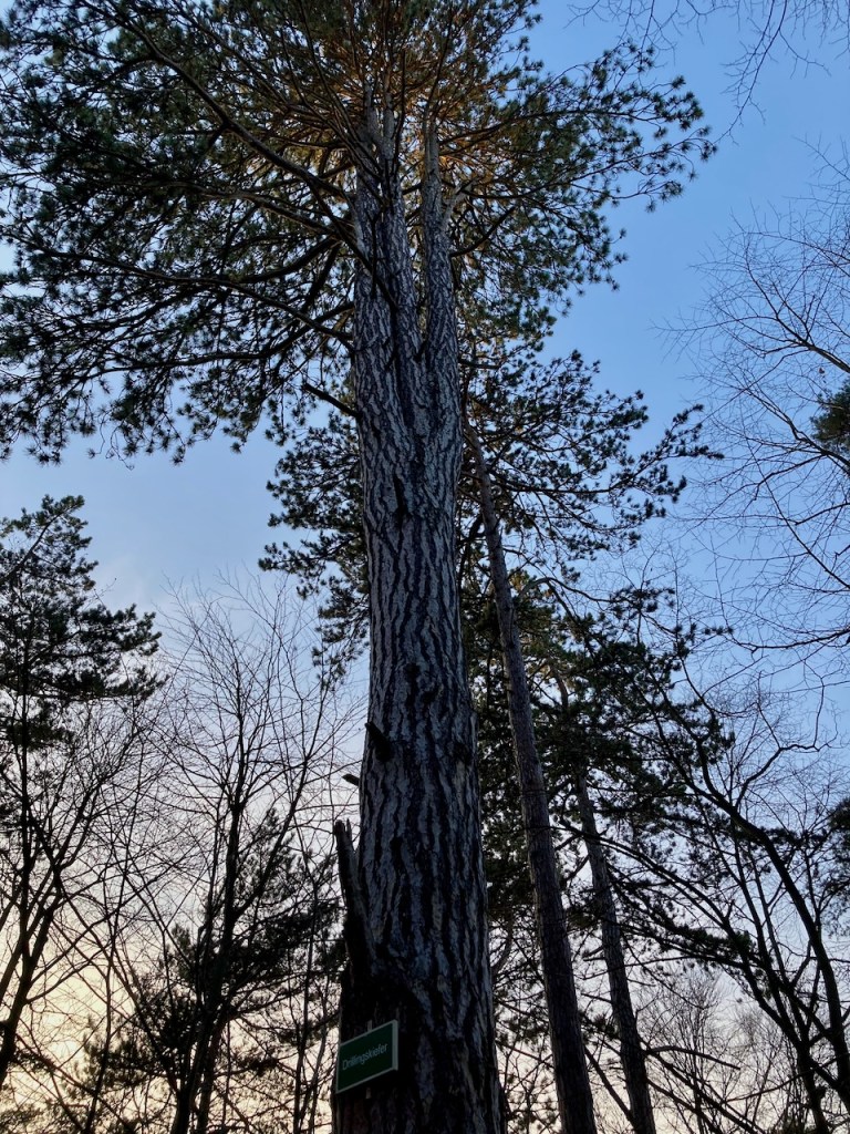
The hut is located at 2,501 meters and after a snack and a shower, we went for a little walk to look around at the world we had entered.

Day 2: Similaun

Summer mountaineering requires an early start because summer in the Alps is thunderstorm season. You cannot be on a peak when lightening strikes, and this means being down low enough to avoid being the highest point anywhere. We check weather forecasts, watch the clouds, and rely on the hut personnel, locals with experience, to give us the best tips on how to time the path ahead. The rule of thumb is to start early.

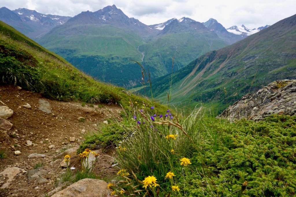
The way ahead was rocky and climbed steadily. We passed a sign showing the way to the archeological site where 5,300-year-old Ötzi the Iceman was found in 1991, which I’d love to go back to visit someday. On this day, there was a mountain to climb.

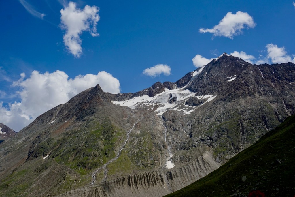
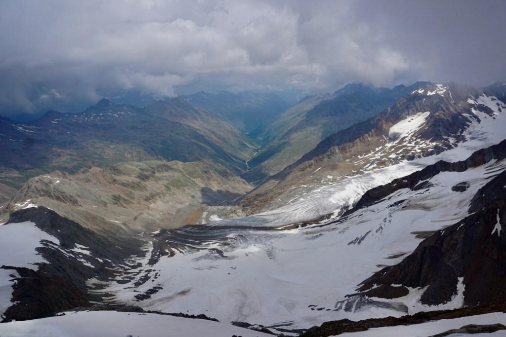
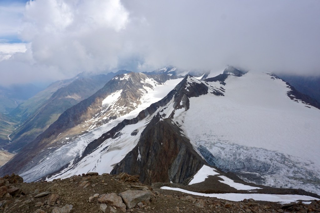
To reach the summit of the Similaun at 3,606m, we would gain almost 1,100 meters of elevation. The effect this has on the body is not be underestimated, and we were all grateful for having included jogging in our training. Although I can’t say I felt it, it must have helped! We paused when we reached the Similaun Hütte just over the border in Italy and gazed at what awaited us.

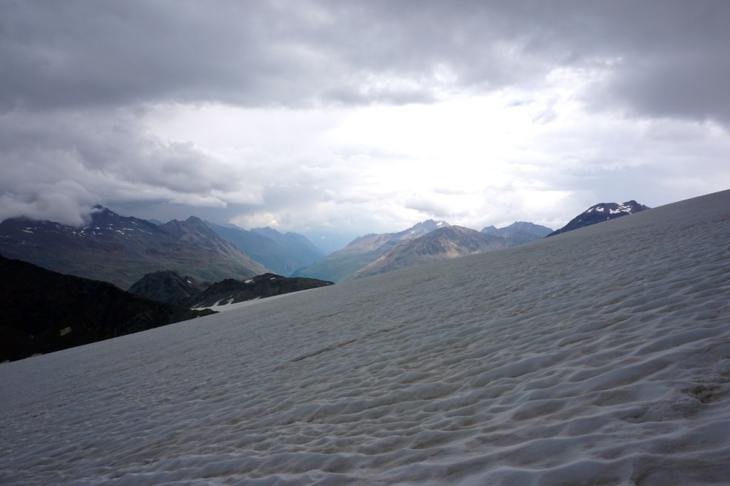
At the edge of the glacier, we prepared: Harness and helmet on; pre-organized carabiners, slings, rescue gear, ice screw attached to harness; crampons on; ice axe in hand; butterfly knots in the rope and figure-eights clipped to us. As the most experienced, my partner went last to perform any needed rescue manoeuvres should one of us fall into a crevasse. Based on negotiation, I went first to follow tracks and find the way.

Breathing was difficult. The thighs burned. I couldn’t always find the way leading us away from crevasses and up the glacier, and we took a slight deviation from the proper way when fear of the unknown got to me. Our friend in the middle of our rope said that she was using a mantra to put one foot in front of the other, but my mind had gone in the opposite direction. As we climbed, I was already in a mindset of not wanting to be there, which is the primary reason that I don’t know if I will do this type of mountaineering again.

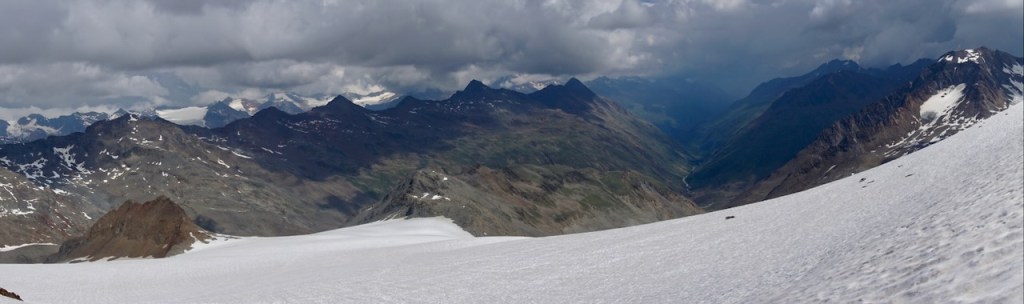
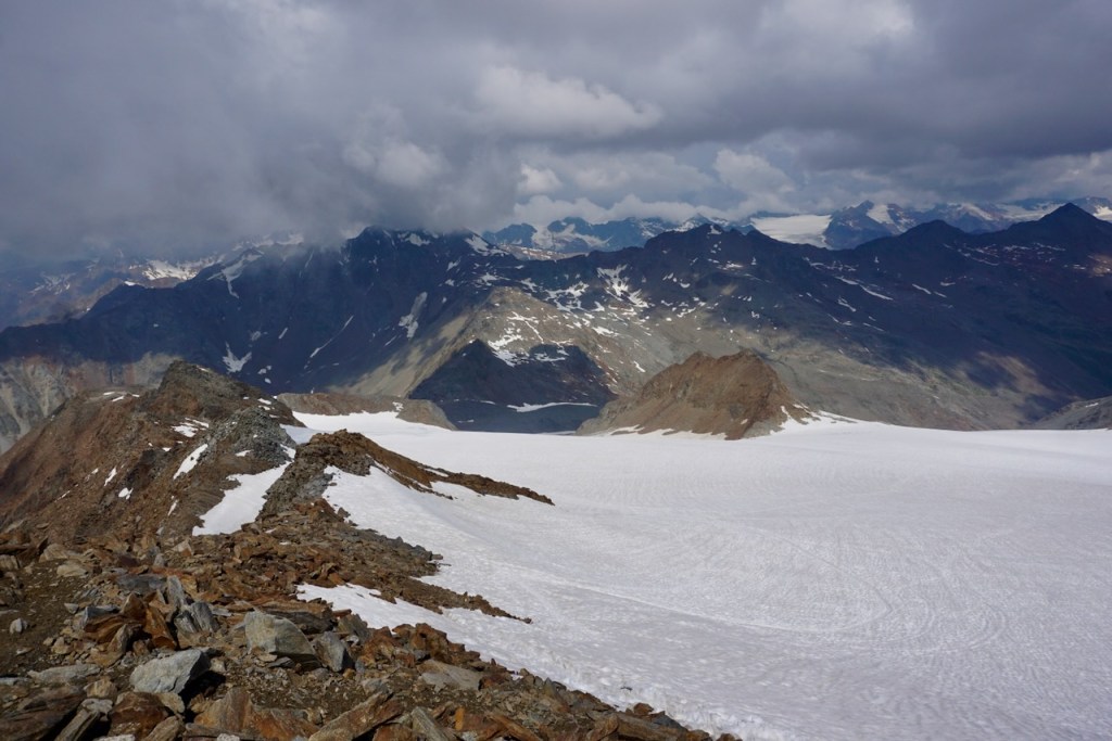
As the clouds rolled in, we reached the end of the glacier and the rock scramble along the mountain ridge began. This is the part I enjoyed because this is where I could feel my body again – I am a climber, after all. We reached summit and looked down into Austria on one side and Italy on the other.

We heard a clap of thunder after we had already begun our descent. The sky darkened as we returned to our gear on the glacier and we ran. This is is the part where, like my friends, I should have thought, “Wow, now we’re really mountaineers!” But the negative mindset from before set in. As the hail began, which turned to rain as we descended, that’s not where my mind was.

The weather changes quickly in the Alps and the rain had let up by the time we reached the Similaun Hütte and stepped inside to take stock of ourselves. Not having had time to put raincovers over our backpacks, everything was soaked. As the sun began to shine, we heard another clap of thunder from above, but this time we knew – it was one weather front meeting another rather than the sign of a coming thunderstorm.

Later on, I reflected that had the weather held during our descent, I probably wouldn’t have fallen apart. The negative film running through my head would have faded and been replaced by the accomplishment of reaching 3,606 meters. But I know how the brain works, and we remember the peak and the end of experiences. I’ve dreamt every night since of being on that mountain, and my dream self has reacted differently, more bravely, more calmly. The sun shines in my dream. My actual self was mentally crushed.

It was a relief to reach the Martin-Busch-Hütte and lay our things out to dry. We talked over weather, the day, and conditions with the men sharing our room and marvelled at the weather cells in the Alps. Just on the other side of the valley, they hadn’t had rain at all.

Day 3: Martin-Busch-Hütte to Breslauer Hütte

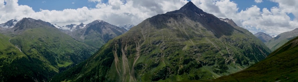
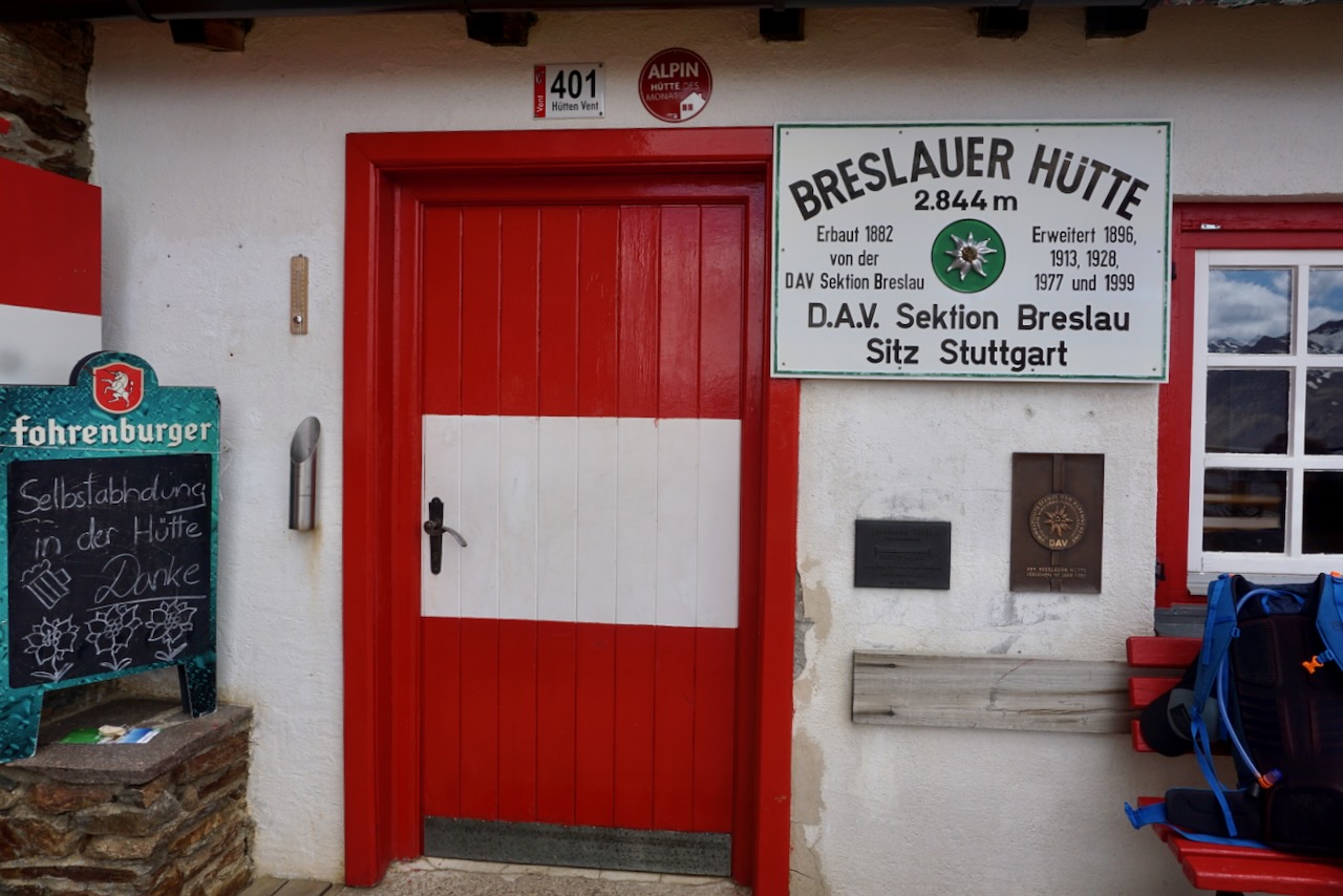
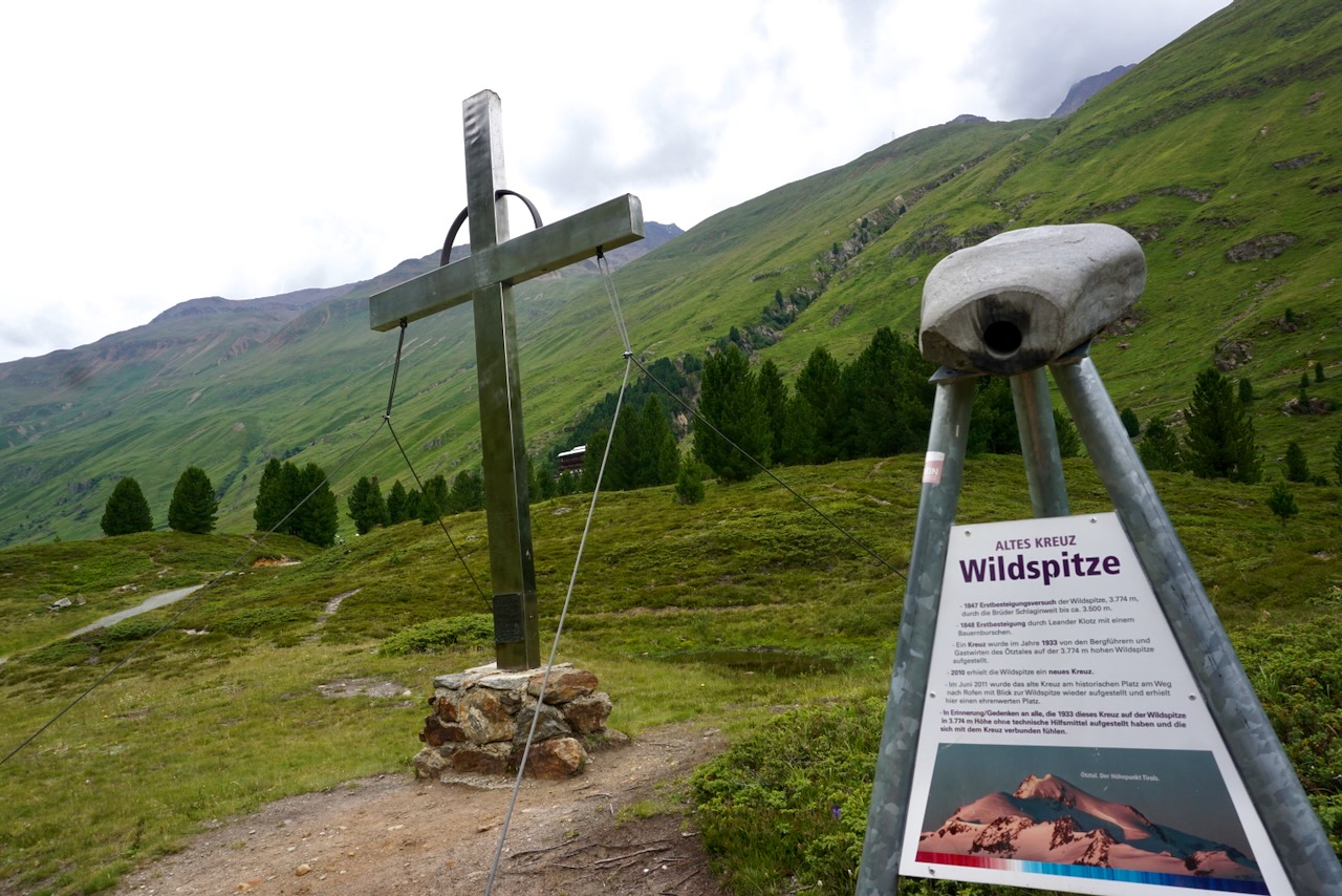
The purpose of the next day was to reach our second and final hut of this trip, the Breslauer Hütte located at the foot of Austria’s second-tallest mountain, the Wildspitze. From the beginning, the Wildspitze at 3,768 meters had been the goal. However, because of my experience the day before and the not-so-promising weather forecast, we decided a change of plans was in order.

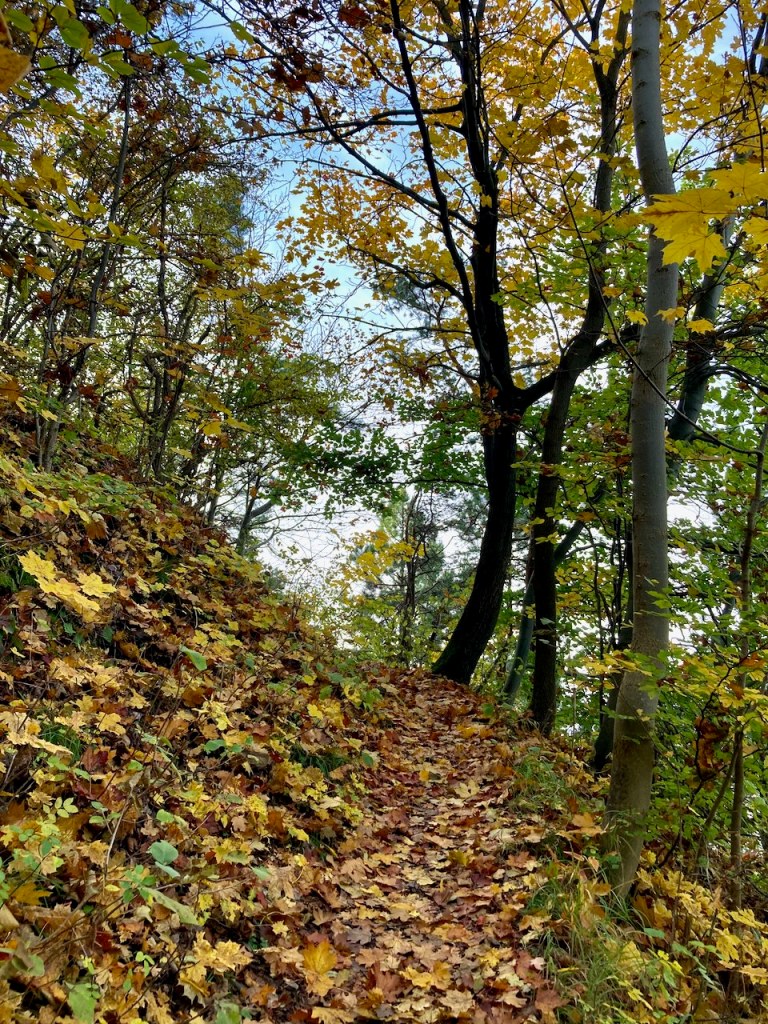
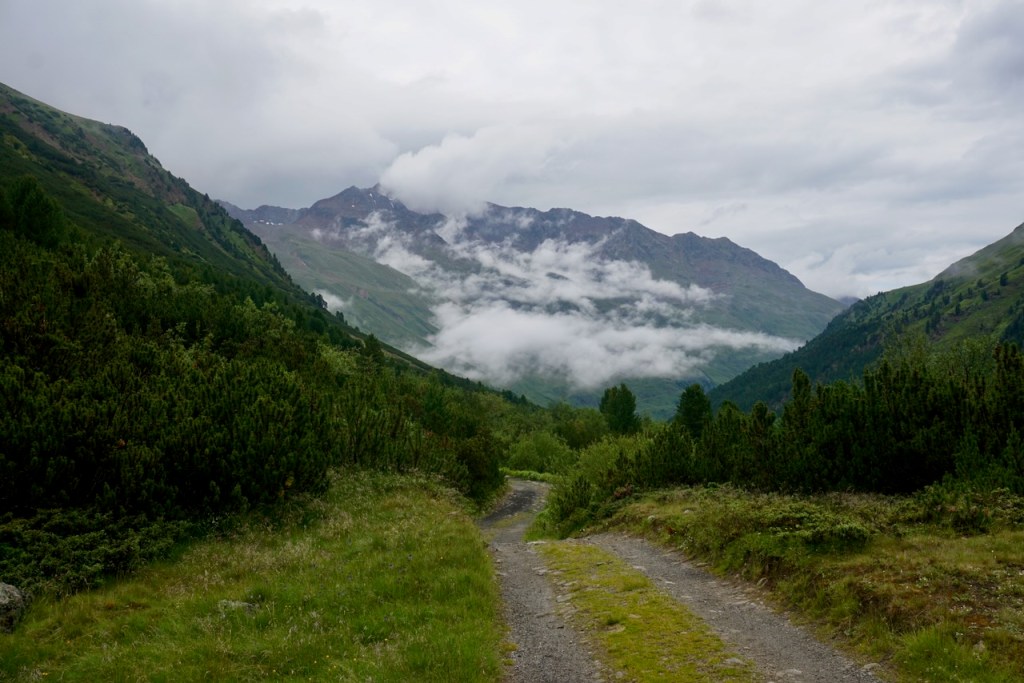
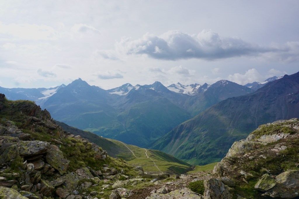
We left the Martin-Busch-Hütte in the rain, which is no problem when you’re prepared for it. The landscape was dreamy as we descended, kissed by clouds.

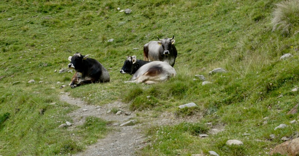
The sun had come out by the time our ascent began with over 900 meters in elevation gain comprising the last few kilometers. We passed gazing cattle . . .

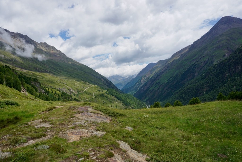
. . . stopped to rest on a plateau surrounded by peaks . . .

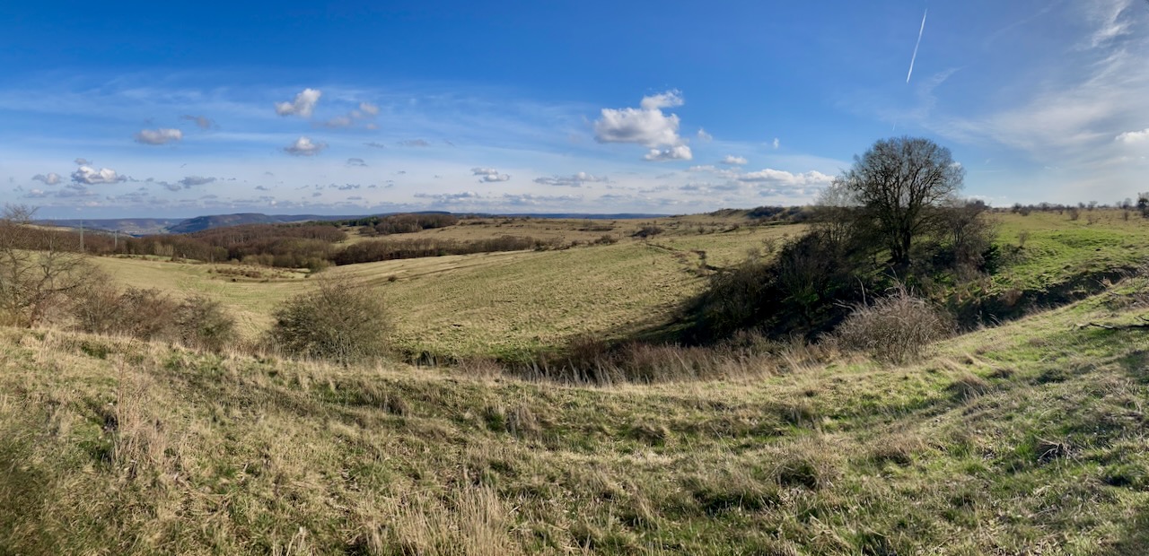
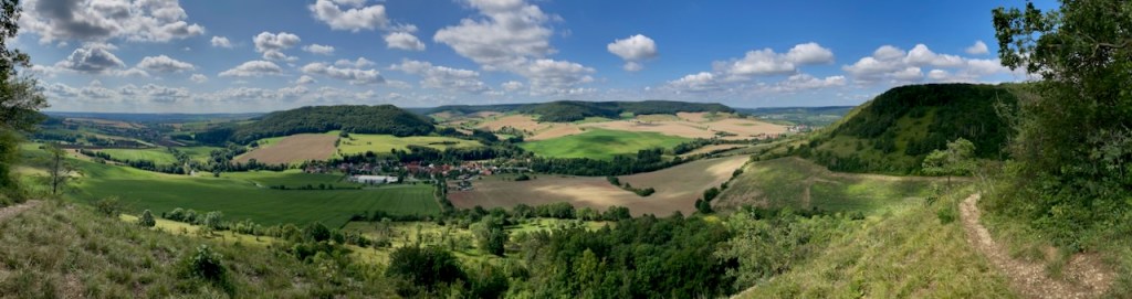
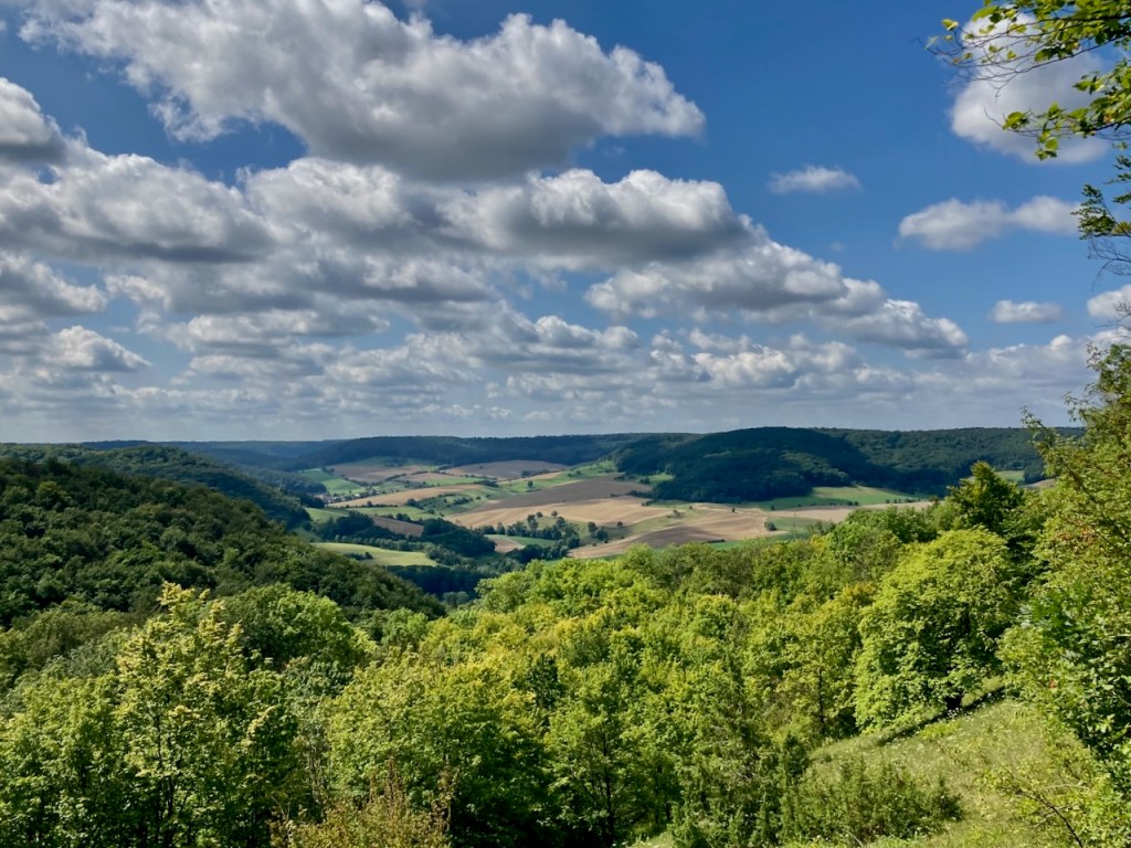
. . . and made our way along steep ridges, past more peaceful cattle, through rocky terrain that told of mountains from long ago, and across a river. Some of this had been glacier once.

It was a long way up to the Breslauer Hütte, and hard going. We covered 12 kilometers that day, and, upon reaching 2,844 meters, we certainly felt it.

That evening, we watched the sunset.

Day 4: Breslauer Hütte to Vent

The following morning began with a strange feeling. The clientele of the Breslauer Hütte could be easily divided into two groups – mountaineers and hikers. As we decided not to attempt the Wildspitze this time (my friends have now bookmarked it for the future), we were clearly in the hiking group, despite having the gear and experience of the mountaineers. We had come to this place with a purpose and were leaving it behind.

It wasn’t only because of me but it also wasn’t not because of me that we changed the plan. I’m grateful that my friends made the decision that they did, and I will be cheering for them when they head back there next time. But that didn’t prevent me from feeling, as they were, a sense of loss.

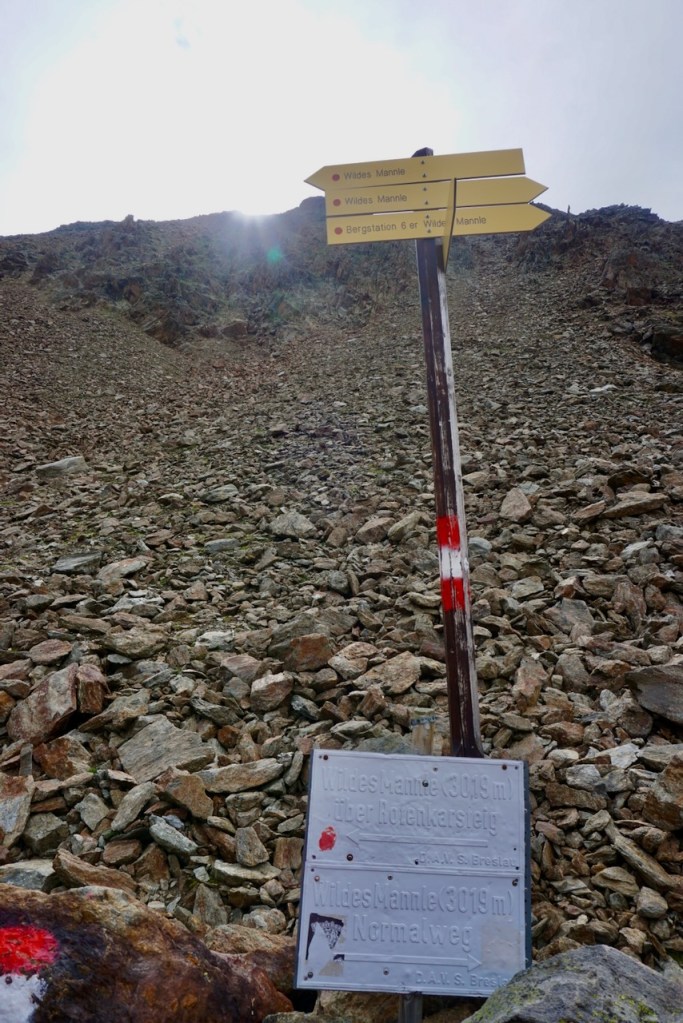
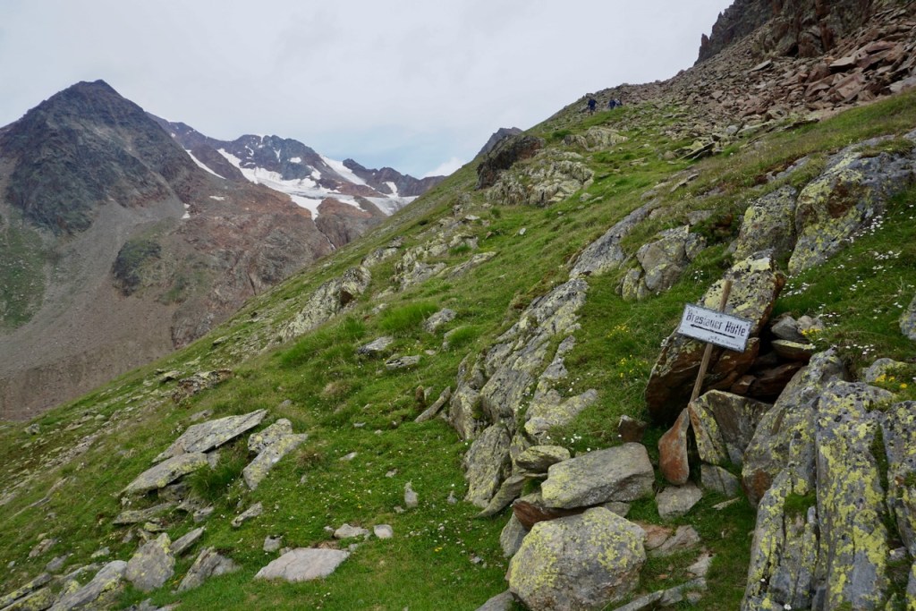
Nevertheless, we enjoyed the easy scramble up to Wildes Mannle, a 3,023 meter peak nearby.

We crossed the river we’d seen the following day . . .

. . . and climbed the ridge to the summit, looking over into the distance where we knew the Wildspitze was.

From there, we began our descent, again past the cows . . .

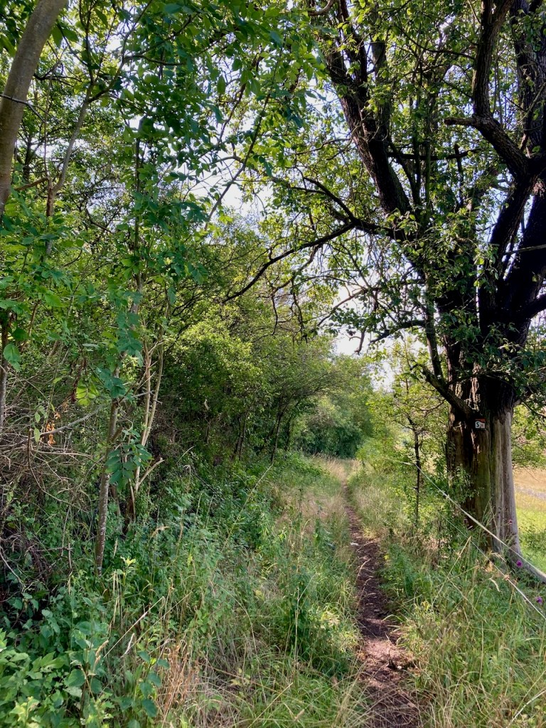
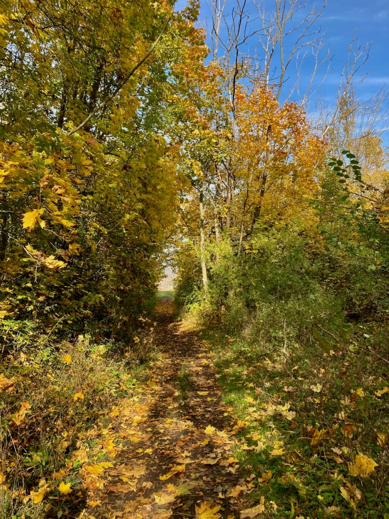
. . . and into a green oasis, welcome after the rocky terrain a thousand meters above.

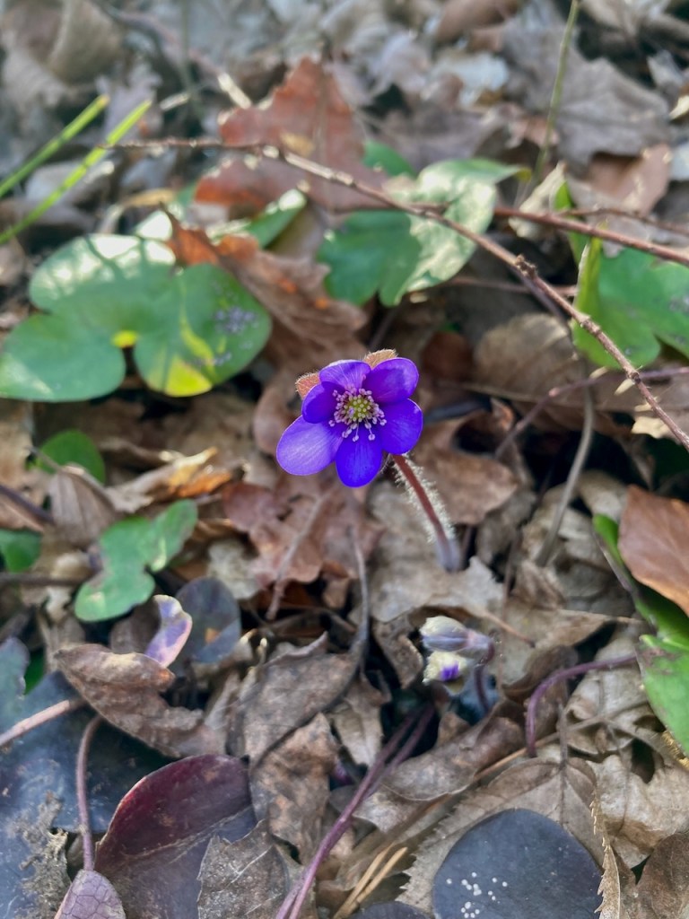
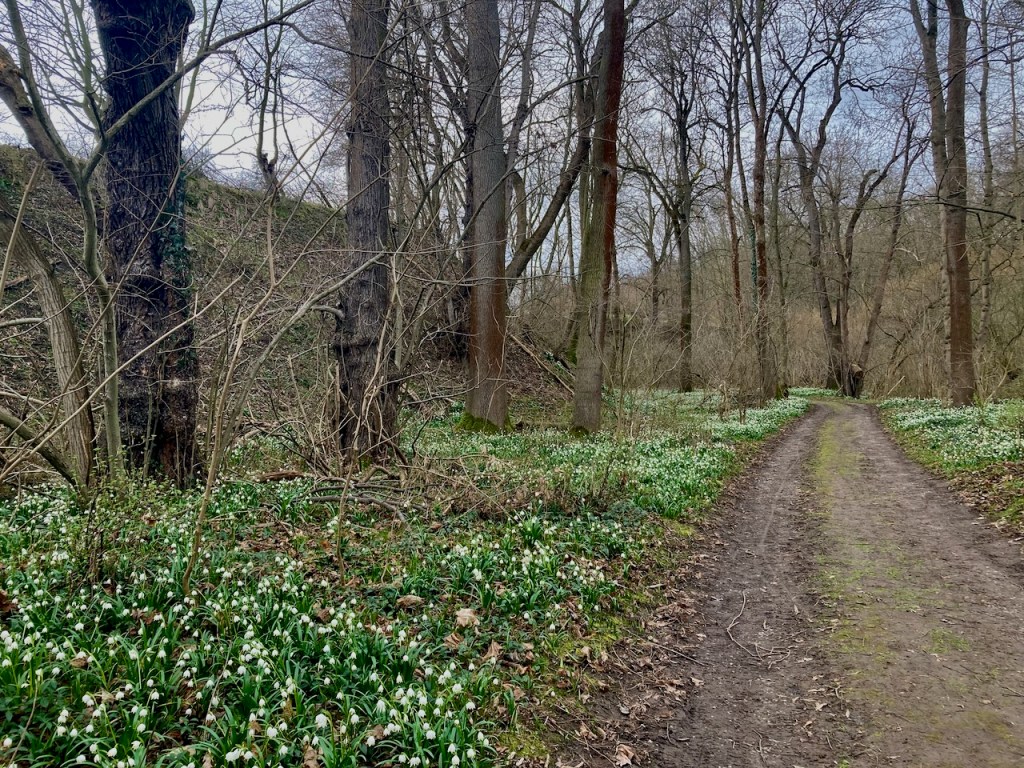
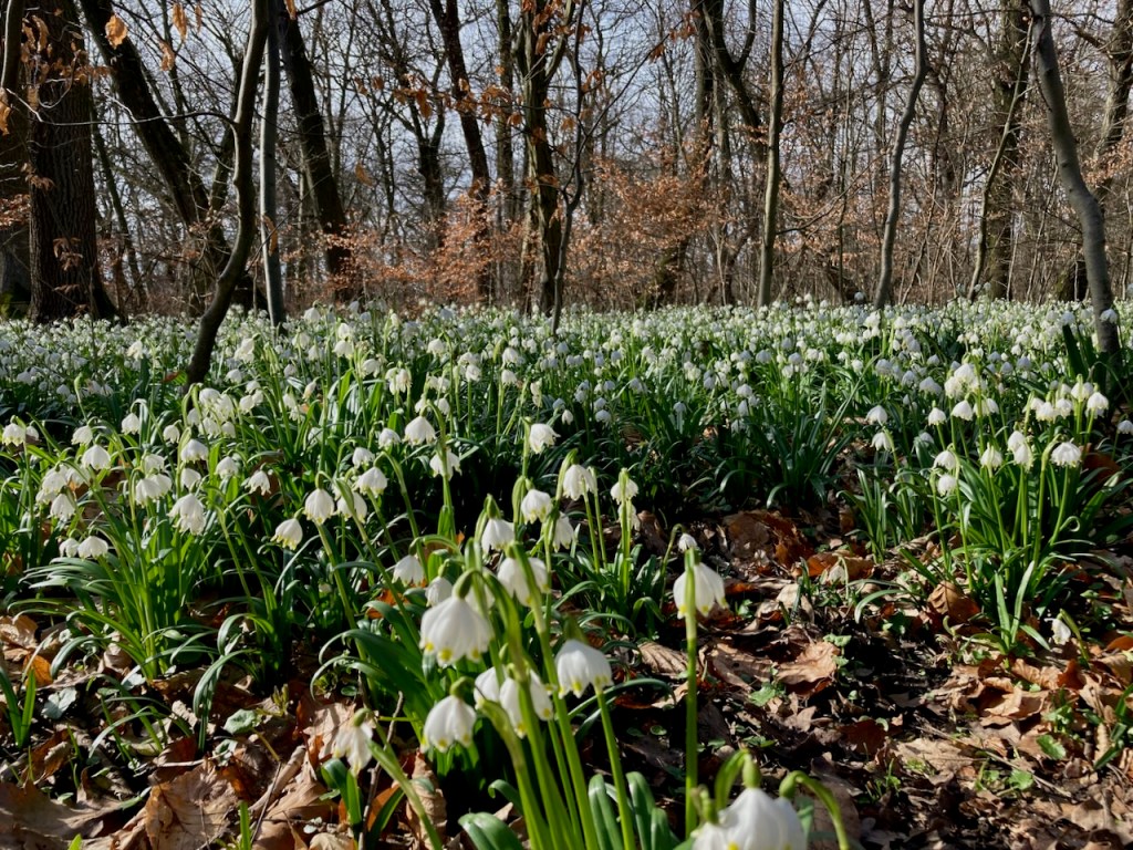
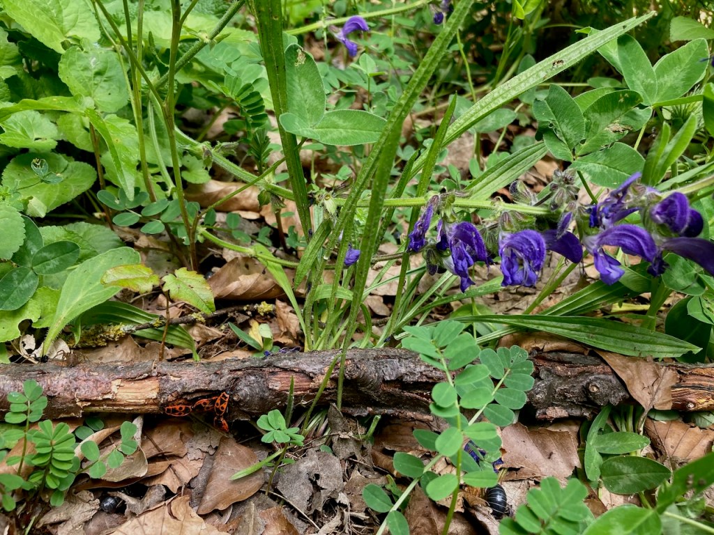
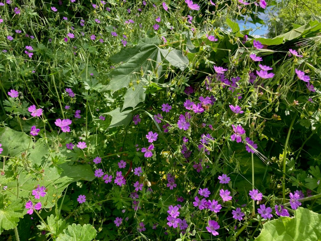
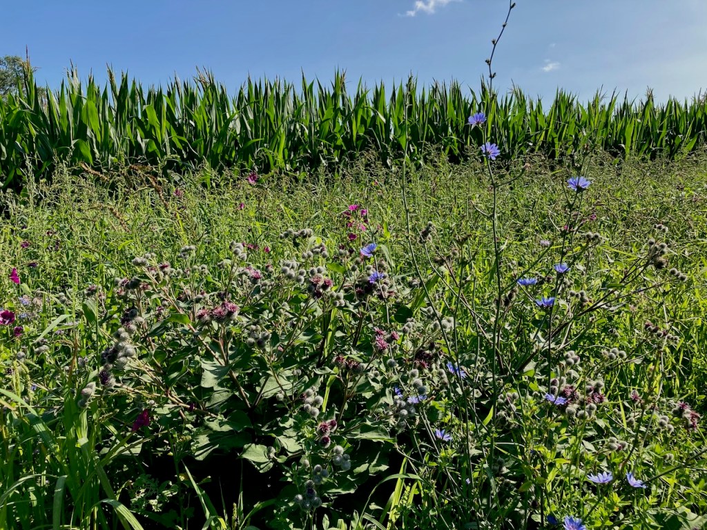
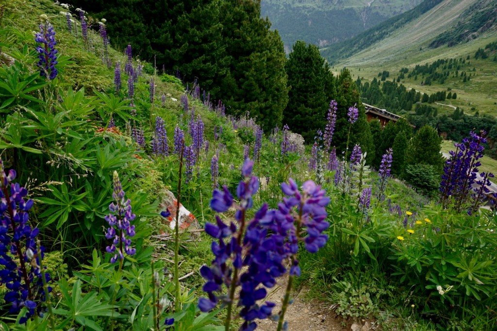
With the challenges of ascending behind us, I took the opportunity to photograph the alpine flowers that guided us along the way.

Upon reaching civilization, we crossed a bridge over the river . . .

. . . walked past one last herd of grazing horses . . .

. . . and looked in the direction of the Wildspitze again, invisible now.

This was not my mountain to climb, but I have no doubt that my friends will climb it one day. If I’ve learned any lesson, it is this: If one cannot go calmly and steadily, one need not go at all. The purpose is to be there, not to get there.

And if I can focus on the being rather than the doing , then I have learned something indeed.

January

I like to think of January here as an apology for November. November is dark, damp, cold, and gray – oppressively, endlessly, hopelessly gray. December is brighter because of the lights at the Christmas market and the crispness that sharpens in the air as fall unfurls itself as winter.

And then there’s January, our month of big skies, fresh cold, and spectacular sunsets. Watching night fall is watching an artist at work.

Accustomed to this in January, we were surprised by the days of fog that limited visibility just to the end of the courtyard. The world melted away into white, into gray, and January gave us November vibes.

But the air was full of crystals, and the crystals created their own art.

I was surprised by the brightness of the kitchen this morning and looked up to see the half-moon that had created a reflection of window panes on the floor. The sky was newly clear and I could see the sun beginning to rise as I rode my bike through cold that crackled, everything still covered in last night’s frost. This was January as we know it, coming back after a short rest.

I was glad to welcome her.

A Year on the SaaleHorizontale Wanderweg

This post is dedicated to AL, CC, DF, KB, LC, MS, SB, SF, and TM.

The 91-kilometer SaaleHorizontale Wanderweg was voted Germany’s prettiest hike of 2023. It is located in the hills surrounding the city of Jena, about 20 kilometers from where I live in Weimar, and conveniently divided into nine very manageable stages that are accessible by public transportation. I really enjoy the nature around Jena, a city situated in a valley cut by the Saale River among rolling hills, farms, and some wine country. From the hills, which are easily accessible on foot throughout the city, you can look into the distance and the appreciation of the landscape only grows. I miss that in Weimar sometimes.

I had heard about the SaaleHorizontale previously, but didn’t knowingly experience it myself until the beginning of 2024 with the aid of a helpful map. Immediately upon completing the first stage, I decided that my outdoor goal for 2024 was to complete all nine stages. I wanted be intimately familiar with the nature in my backyard.

As it worked out, I didn’t walk the stages in order and completed only three alone. I spent most of my time in good company; my partner and I were often together and I am happy to have friends who like hiking as much as I do. I ended up in the rain only twice, the first time a heavy shower for a few minutes and the second time a steady four hours on a day where no inclement weather was called for. It’s nice to remember that we are part of nature and not the other way around.

A story of changing seasons can be seen in the photos below. Nature never fails to calm and to comfort, and that was my experience the whole time.

Stage 1: Klinikum Jena to Kupferplatte (12.7km) – Early January

Germany is known for being nature-loving and hiker-friendly, which can be seen in the helpful signs at the start of each stage.

Although January and cold enough for my winter jacket, this was obviously not a point at which we had snow. We had had a lot of snow at the beginning of November and would get more later in the month. I love winter hiking and did as much of it as the weather allowed this year, but the SaaleHorizontale trails are narrow and on the edges of hills. I’m sure people walk it in the snow, but I don’t need to do that.

The view from all exposed parts of the trail is wide, and I saw the rain coming before it came. I enjoyed a snack in the last rays of sunshine and had almost made it out of the woods before the short, heavy shower. As often happens, the sun that came out immediately thereafter was beautiful and left me completely dry before I reached the tram stop.

Rock tells the story of the history of our planet and there’s a good deal of beautiful rock along the SaaleHorizontale. Unfortunately, there’s no climbing immediately around here because this is Muschelkalk, or shell limestone, and very brittle. Shells? Indeed – this region was once under water.

Stage 6: Dornburg to Zwätzen (13.8km) – Late February

It was very early spring the next time I stepped foot on the SaaleHorizontale, this time with a large group of friends. Bundled into down jackets, we began in a small village . . .

. . . and followed the signs to the trailhead.

A charming aspect of Germany is that even small villages have castles. Royals since time immemorial have loved the countryside.

We walked past small farms . . .

. . . and past fields of tiny spring flowers. The little yellow ones are Winterlinge, visible for just a few weeks as winter fades into spring, the white ones are called Märzenbecher, which roughly translates to “March goblets”, and the purple ones are, of course, crocuses.

The SaaleHorizontale route passes through many little villages that look a lot more remote than they are. The hills make for the remoteness while their location in the valley mean that the university city of Jena is a short public bus ride away.

My favourite parts of the trail are in the woods . . .

. . . and I love the moments where the sun shines through and leaves patterned shadows. My very old phone doesn’t take the smoothest panoramas, but the clouds really were storybook clouds and the grass really was turning green again.

Stage 7: Zwätzen to Papiermühle (9.3km) – Early March

Shortly thereafter, in order to once again enjoy the tenderest flowers, my partner and a friend, both of whom had been along the previous weekend, went with me for another walk in the woods.

Rather than down jackets this time, we stripped off layers and headed up hills into the sunshine.

The first signs of spring, which grow with abandon and without scruple, had settled into a thick carpet on the forest floor.

Today’s stage took us over a plateau where it’s not hard to imagine Napoleon’s army standing in 1806. There’s also a monument that we’d visited before, as well as a museum in a nearby village dedicated to the area’s battle. Every so often in this area, one comes across markers designating that Napoleon and his army had been there.

Clearly, the battles of Napoleon were not the only confrontations that had taken place there.

We watched the sun beginning to set as we made our way to the end of the trail and back to the train station.

Stage 8: Papiermühle to Ammerbach (10.9km) – Late May

More than two months passed before I made it to the SaaleHorizontale again, this time accompanied by yet another friend. The day was hot and humid, the leaves lush and green, and the air had the smell of the coming summer. It was the kind of warm day that quickly cools off when the sun goes down, which is how you know it’s very much still spring.

We passed a number of sights of interest along the way including Bismarckturm, celebrating the great general and unifier himself . . .

. . . a marker denoting the different layers in the earth and the sadly unclimbable rock . . .

. . . and a section that was part of a children’s discovery trail of fairytales and witch houses.

As I had for months by this point, I was using every hiking opportunity to break in my increasingly-less-new mountaineering boots in preparation for our Alps tour over the summer. They are far too intense for a casual walk in the woods, but they have seen many kilometers of this trail.

Stage 5: Porstendorf to Dorndorf (18.2km) – Late July

My next stage on the SaaleHorizontaale was the longest, but it was a comfortable way to spend the day in comparison to the outdoor adventure that was climbing the Zugspitze, which my partner and I had done just a week earlier. While I very much appreciate that all stages are organized with accessibility to public transportation, I did not love the approach along a road for this one . . .

. . . and was very happy to see the trail markers that pointed, as the SaaleHorizontale often does, along a small alley through a village.

I walked past farmers’ fields . . .

. . . and then remained largely on narrow paths . . .

. . . steadily working my way upwards towards a view of rolling hills and harvested and harvest-awaiting fields interspersed with forests. This is so typical of the landscape here and I love it anew every time.

It was a hot day and I was glad to make it into the cover of the forest.

The butterflies were busy enough that I could inch closer, and I wondered at the old road in what was now woods.

I passed a village with the remains of a castle . . .

. . . took a break at one of the many picnic tables that one finds on hiking trails around here . . .

. . . and once again took in the view from above.

I crossed a small lookout point named for a duchess and princess who had lived in the area . . .

. . . and found myself looking up at the palace where my friends and I had started for stage 6.

Rather than dip my tired feet in the springs that seem to be there just for this reason, I practically ran to the train station. The following train would be in an hour and I was too hungry to wait.

Stage 4: Kunitz Loop (9.7km) – Mid-August

There is only one stage on the SaaleHorizontale that starts and ends from the same point, and the majority of this stage is the approach. As a result, my partner and I relied on other trail markers to get us where we wanted to go.

We passed vineyards along the way and I can attest that the wine grown on the hillsides of this region is lovely.

We were glad for the portions of this stage that led us through the forest because the mid-day August sun was hot indeed.

We lingered for a few moments in the cool of castle ruins and asked ourselves what the valley had looked like back when there was a castle here.

The fields were in varying stages of harvest time and the air smelled like hay.

We walked for a couple hours before reaching the sign for our stage of the SaaleHorizontale . . .

. . . and the rest of the walk left us with the feeling of this stage being somewhat forgotten, its purpose to connect two other stages rather than having an identity of its own. There’s a run each year that follows the entirety of the SaaleHorizontale, which would therefore skip the approach and descent to public transportation locations; perhaps this stage makes more sense when done like that, but I am not about to find out.

Stage 9: Ammerbach to Göschwitz (12.3km) – Mid-September

The calendar had just flipped over to fall the next time my partner and I took a walk along the SaaleHorizontale, but a fall feeling had been in the air for somewhat longer. The light had changed, and this is always a sign.

The beginning and end of the trail was located in the woods, woods with which we had become familiar in the months walking the hills around Jena.

Hay bales were drying in the fields and grass had regrown. These are signs of fall, of summer having just gone.

But only just, as the corn was still waiting. Where I grew up, corn is grown to be eaten, and a great joy of my childhood was being sent outside to shuck the yellow ears. My middle sibling and I played “old fashioned times”, corn opening the portal to another world. The corn that grows in this area is meant as animal feed or to be processed into fuel, but the sound of dry stalks as the wind rushes is one I know and it takes me back.

We ended this stage in the woods again, and I liked the feeling of coming full circle over the course of the afternoon.

Stage 2: Kupferplatte to Wogau (13.6km) – Early October

The last stage that I completed alone was probably my favourite, and this despite nearly four hours of steady rain. A good jacket and study shoes go a very long way.

The approach to this stage went immediately through forest, blue skies above, and I was reminded of the descent from the first stage along the same path back in January, the first time I had experienced rain on the trail.

It didn’t take long to reach the first set of trail markers, by which time the steepest part of the route was already behind me.

The leaves in the forest were slowly starting to change colour and the clouds began to roll in.

Good views were the reward for much of this stage . . .

. . . and even the increasingly muddy crossings over fields failed to bother me.

I walked by an old cemetery . . .

. . . a monument to someone I’d never heard of but who is important to the history of Jena (according to brief research while writing this post) . . .

. . . and a tree with a stunning root system that clearly ignored the expectation that it remain in the ground.

I crossed through a village in which the street signs nodded to times past . . .

Left to the eight acres and right to the old brewery

. . . and then came upon a field at the edge of the forest populated with hungry cows and their curious calves.

The stage concluded as I skirted the edge of the field and though I had thoroughly enjoyed it, I really was looking forward to getting out of the rain.

Stage 3: Wogau to Kunitz (12.6km) – Mid-October

When I finished the previous stage, fall was slowly beginning. Mere weeks later, it had arrived. My partner and I took the blue skies as a sign and headed out to have a look.

The stage took us through several woods, each with slightly different trees in slightly different stages of changing colour. The air felt fresh in each, the soil smelled different, and the atmosphere of each forest was clearly its own.

We walked on the edges of the hills and looked down at Jena.

Enticed by the sun, we lay back on conveniently located sun loungers to soak up as much vitamin D as we could. November is a dark, dreary month here.

We passed a sign that had clearly been here a while . . .

. . . and paused for lunch at a bench overlooking a tiny village, a little oasis just a stone’s throw from the city.

We crossed a field . . .

. . . leading us along a path back to an old ruin we’d been to before. The landscape in October was slightly different than that of July.

Finally, we passed the vineyards that I’d seen several times now, all at different growing stages.

We walked down the hill, followed the dotted line on our map to the end of the trail, and I grinned. Last stage done with a person I love on a sunny October afternoon.


And with that, I completed the entirety of the SaaleHorizontale. The moment of finishing was one of gratitude for the time spent walking in nature and for the people who had joined me. The world is a beautiful place, and even more so when it can be shared with others.

Walking allows us to be in our bodies and in the world without being made busy by them. It leaves us free to think without being wholly lost in our thoughts. – Rebecca Solnit, Wanderlust