Tag Archives: Summer

A Year on the SaaleHorizontale Wanderweg

This post is dedicated to AL, CC, DF, KB, LC, MS, SB, SF, and TM.

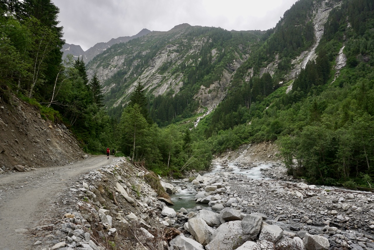
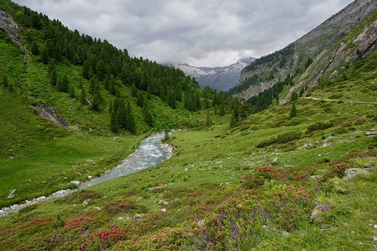
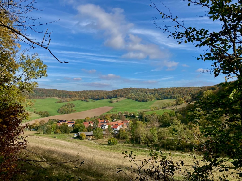
The 91-kilometer SaaleHorizontale Wanderweg was voted Germany’s prettiest hike of 2023. It is located in the hills surrounding the city of Jena, about 20 kilometers from where I live in Weimar, and conveniently divided into nine very manageable stages that are accessible by public transportation. I really enjoy the nature around Jena, a city situated in a valley cut by the Saale River among rolling hills, farms, and some wine country. From the hills, which are easily accessible on foot throughout the city, you can look into the distance and the appreciation of the landscape only grows. I miss that in Weimar sometimes.

I had heard about the SaaleHorizontale previously, but didn’t knowingly experience it myself until the beginning of 2024 with the aid of a helpful map. Immediately upon completing the first stage, I decided that my outdoor goal for 2024 was to complete all nine stages. I wanted be intimately familiar with the nature in my backyard.

As it worked out, I didn’t walk the stages in order and completed only three alone. I spent most of my time in good company; my partner and I were often together and I am happy to have friends who like hiking as much as I do. I ended up in the rain only twice, the first time a heavy shower for a few minutes and the second time a steady four hours on a day where no inclement weather was called for. It’s nice to remember that we are part of nature and not the other way around.

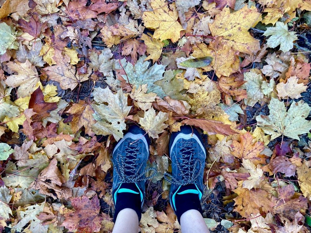
A story of changing seasons can be seen in the photos below. Nature never fails to calm and to comfort, and that was my experience the whole time.

Stage 1: Klinikum Jena to Kupferplatte (12.7km) – Early January

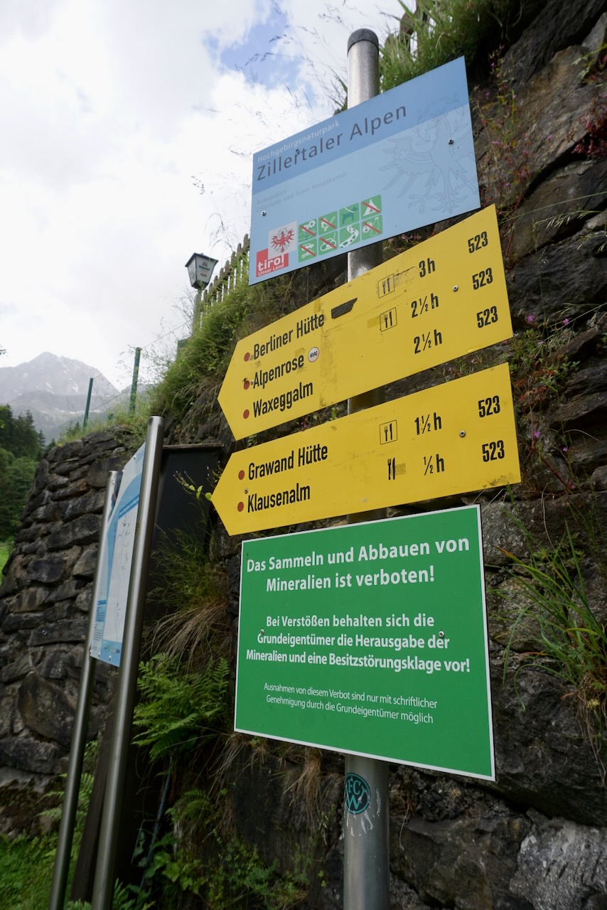
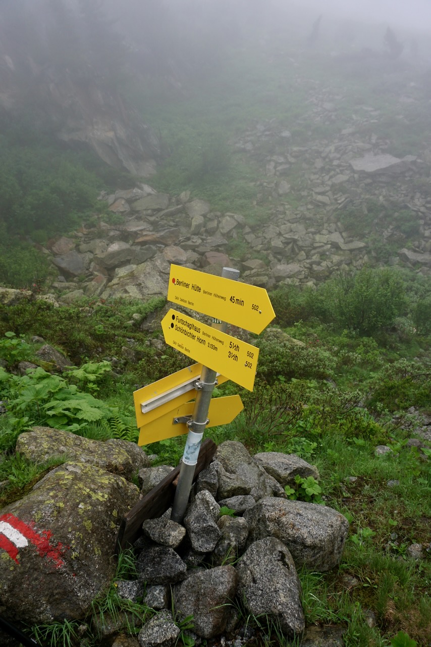
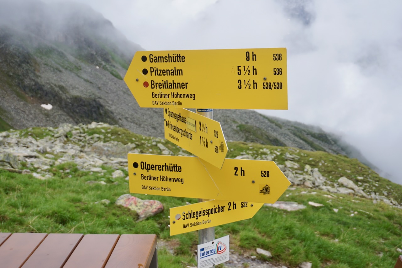
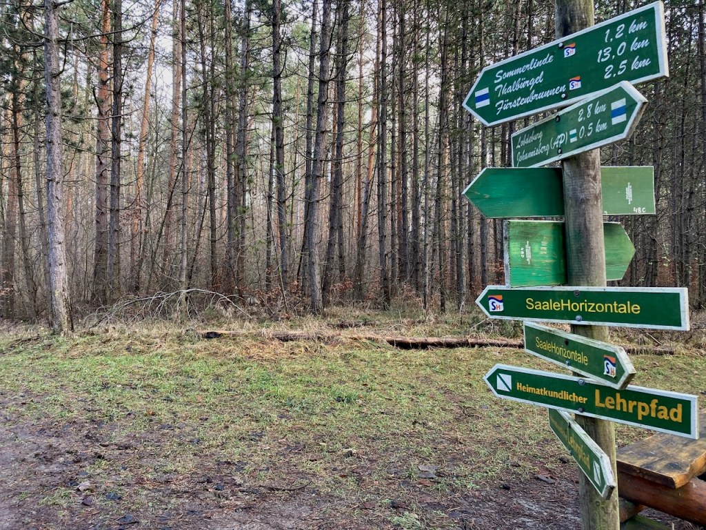
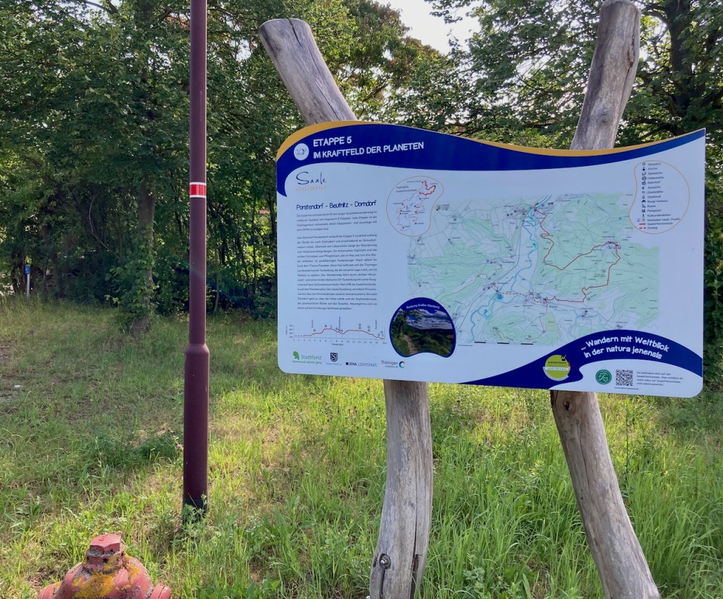
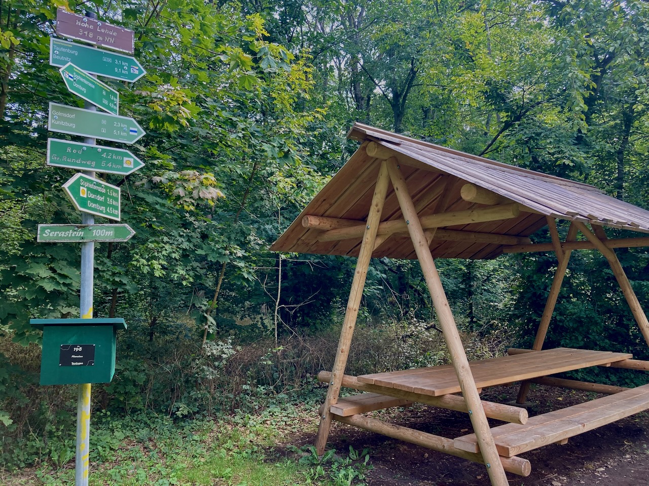
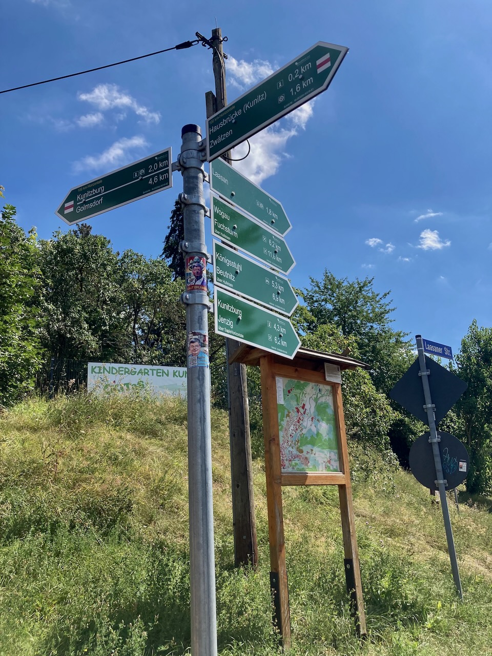
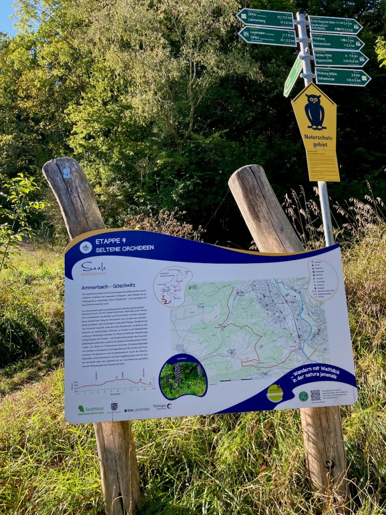
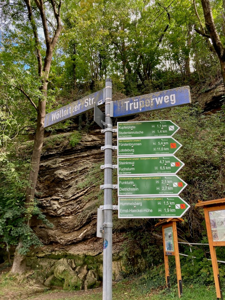
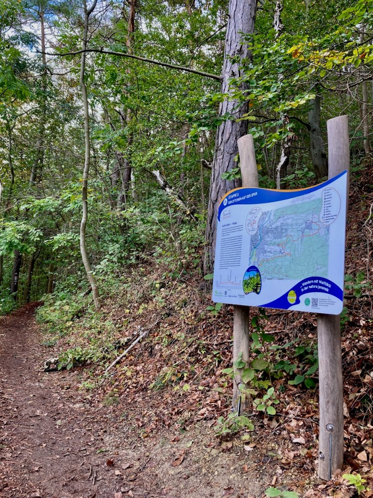
Germany is known for being nature-loving and hiker-friendly, which can be seen in the helpful signs at the start of each stage.

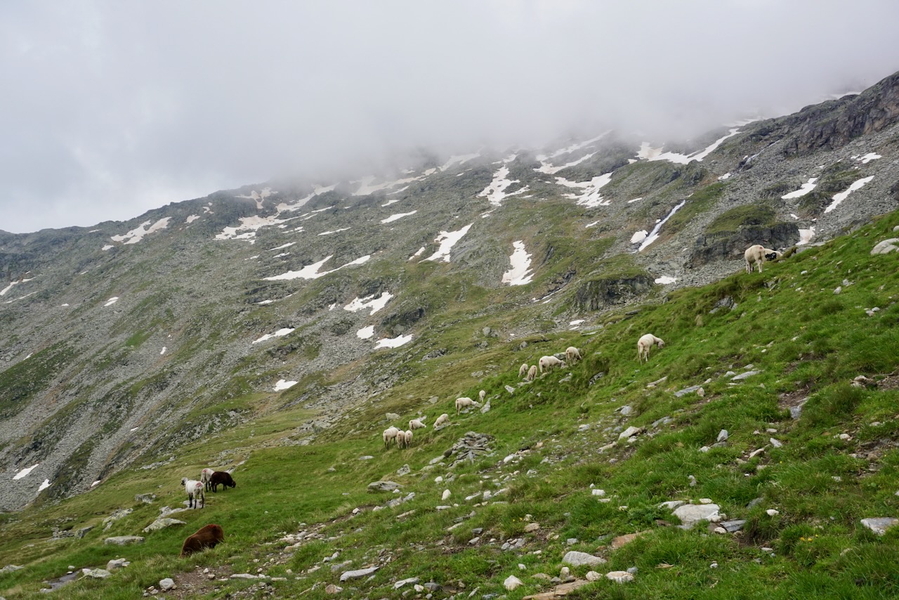
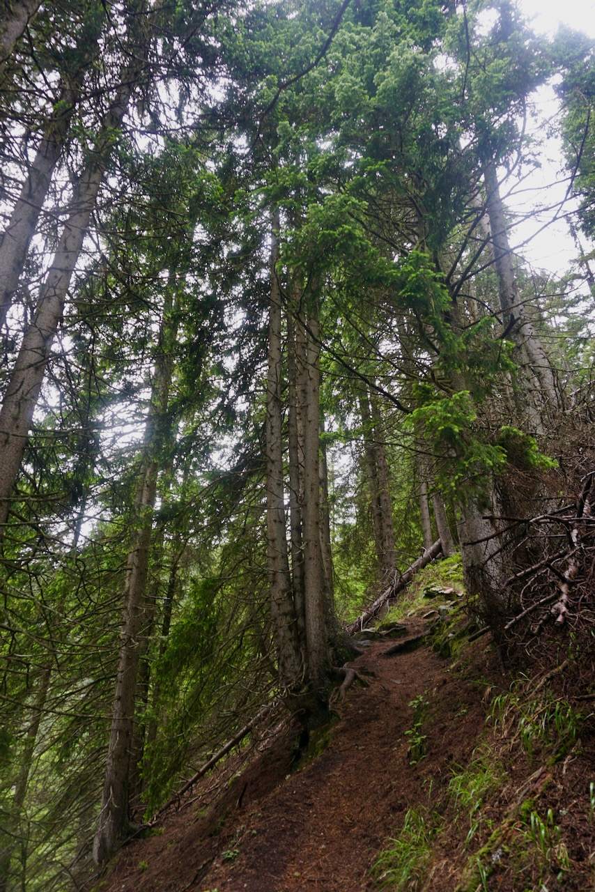
Although January and cold enough for my winter jacket, this was obviously not a point at which we had snow. We had had a lot of snow at the beginning of November and would get more later in the month. I love winter hiking and did as much of it as the weather allowed this year, but the SaaleHorizontale trails are narrow and on the edges of hills. I’m sure people walk it in the snow, but I don’t need to do that.

The view from all exposed parts of the trail is wide, and I saw the rain coming before it came. I enjoyed a snack in the last rays of sunshine and had almost made it out of the woods before the short, heavy shower. As often happens, the sun that came out immediately thereafter was beautiful and left me completely dry before I reached the tram stop.

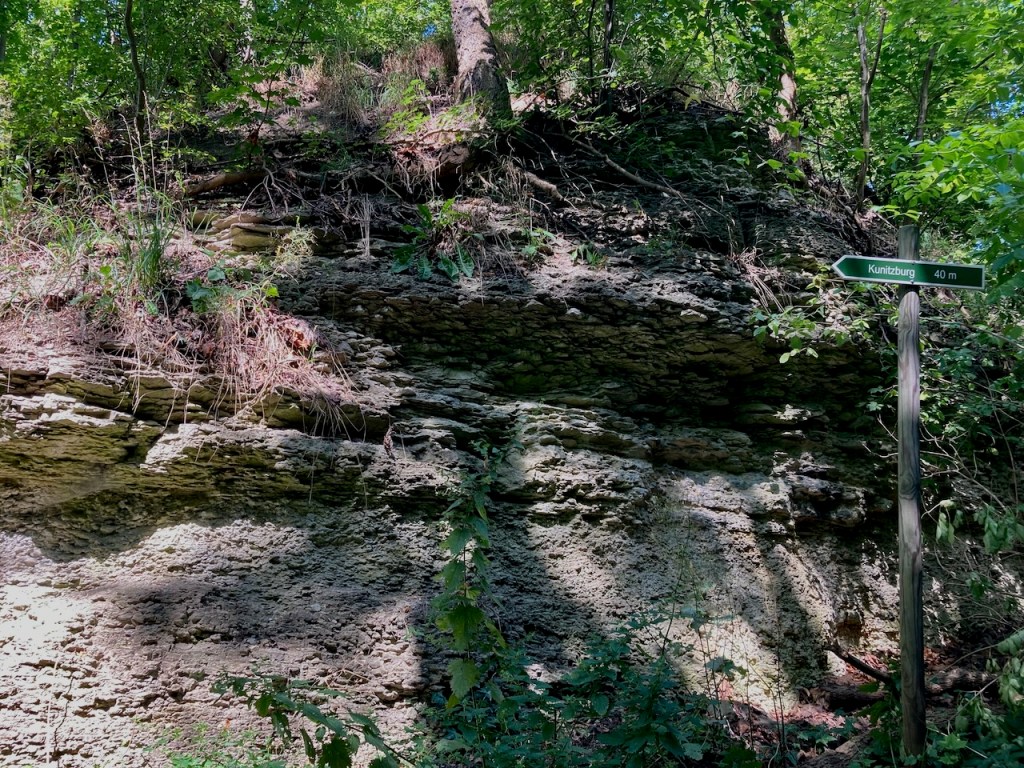
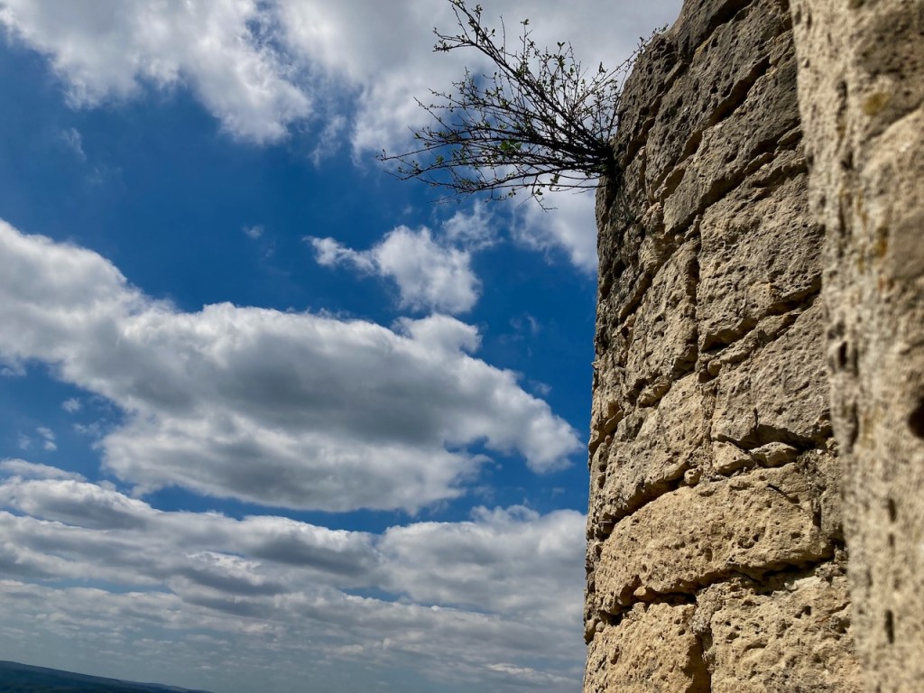
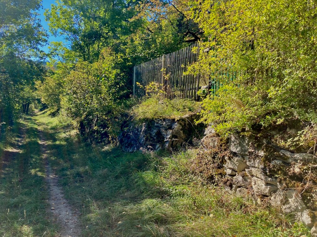
Rock tells the story of the history of our planet and there’s a good deal of beautiful rock along the SaaleHorizontale. Unfortunately, there’s no climbing immediately around here because this is Muschelkalk, or shell limestone, and very brittle. Shells? Indeed – this region was once under water.

Stage 6: Dornburg to Zwätzen (13.8km) – Late February

It was very early spring the next time I stepped foot on the SaaleHorizontale, this time with a large group of friends. Bundled into down jackets, we began in a small village . . .

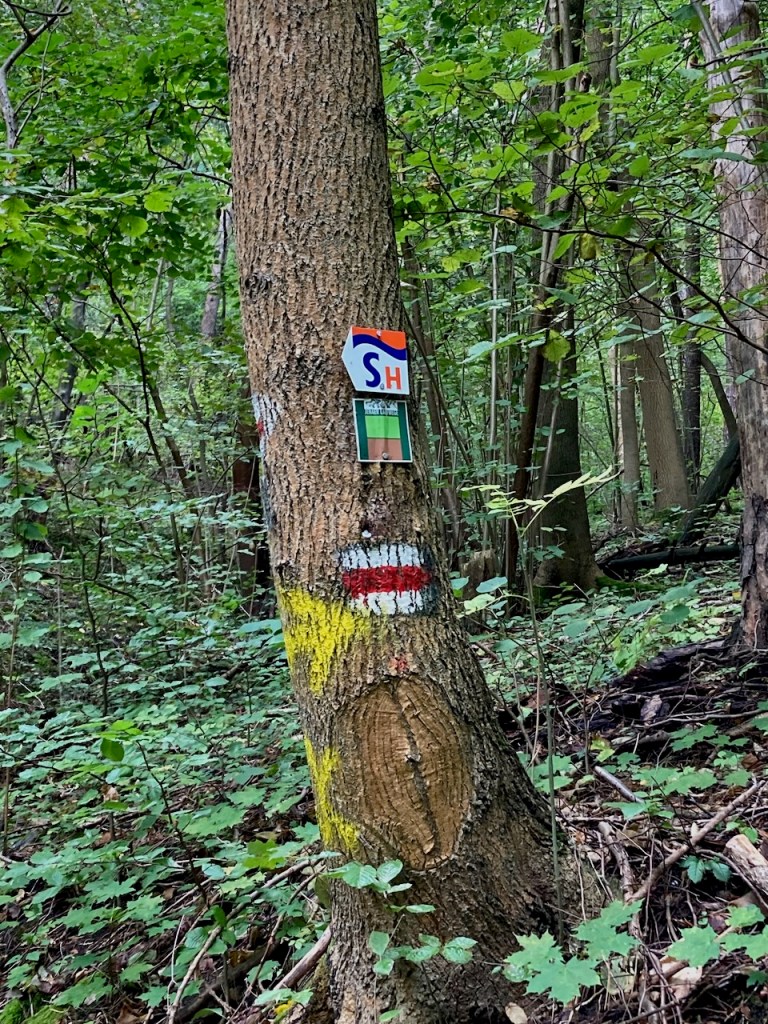
. . . and followed the signs to the trailhead.

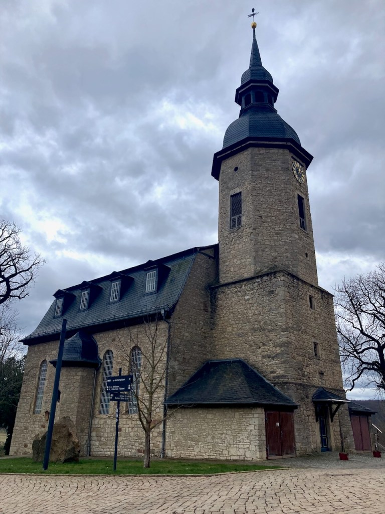
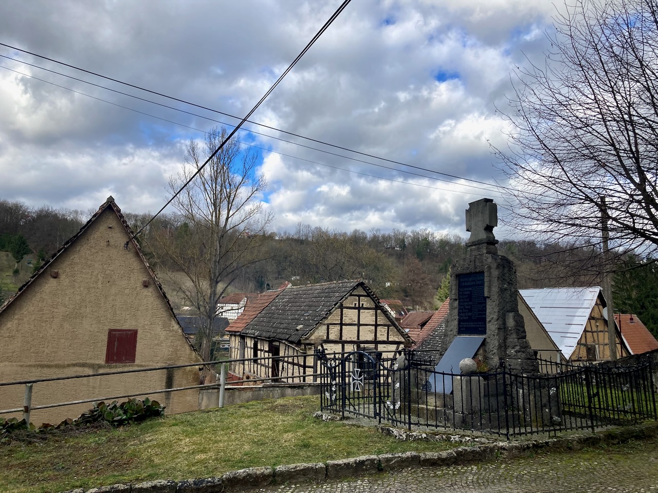
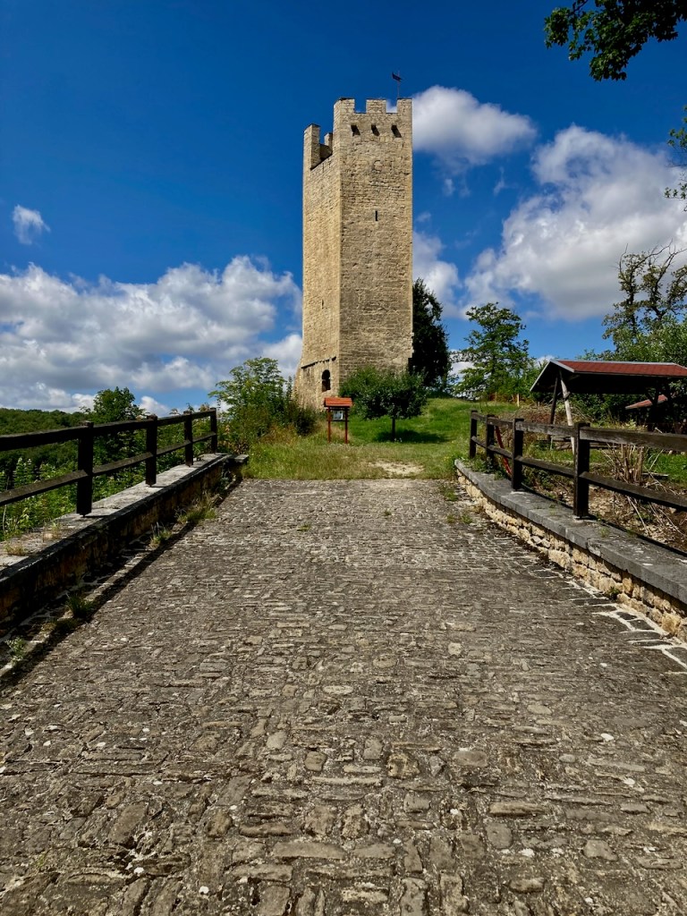
A charming aspect of Germany is that even small villages have castles. Royals since time immemorial have loved the countryside.

We walked past small farms . . .

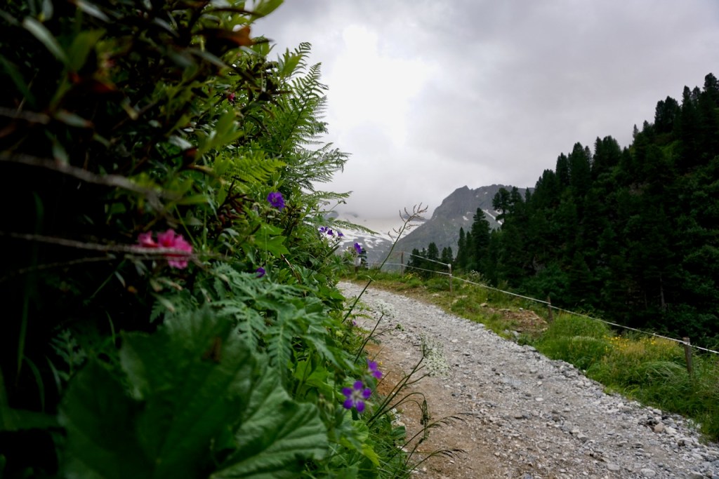
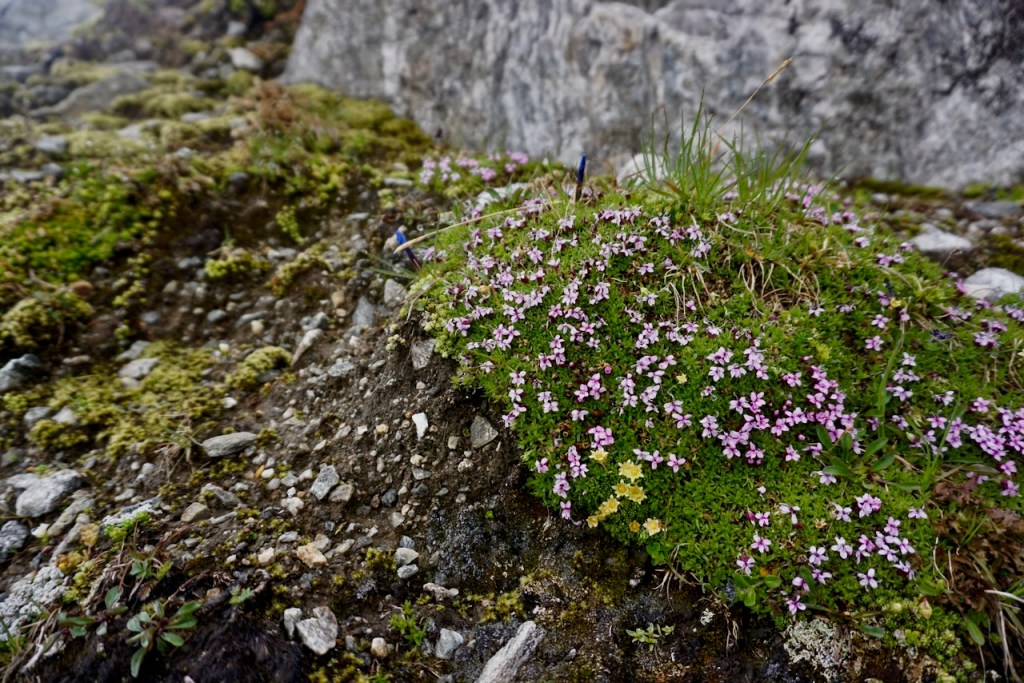
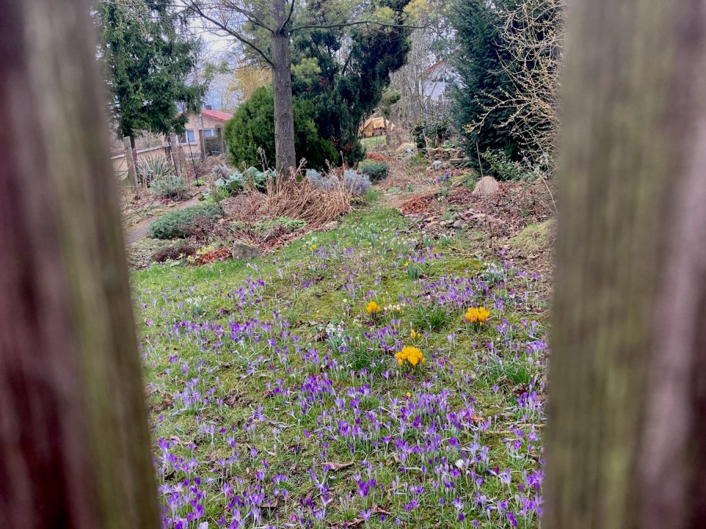
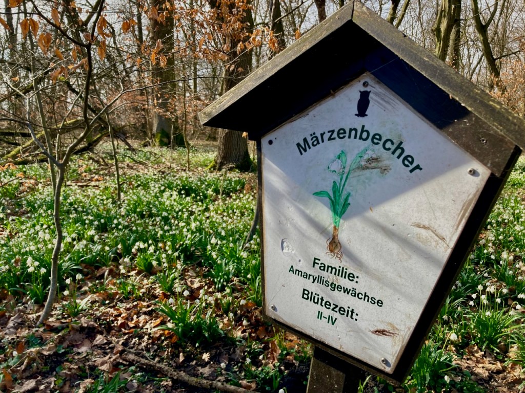
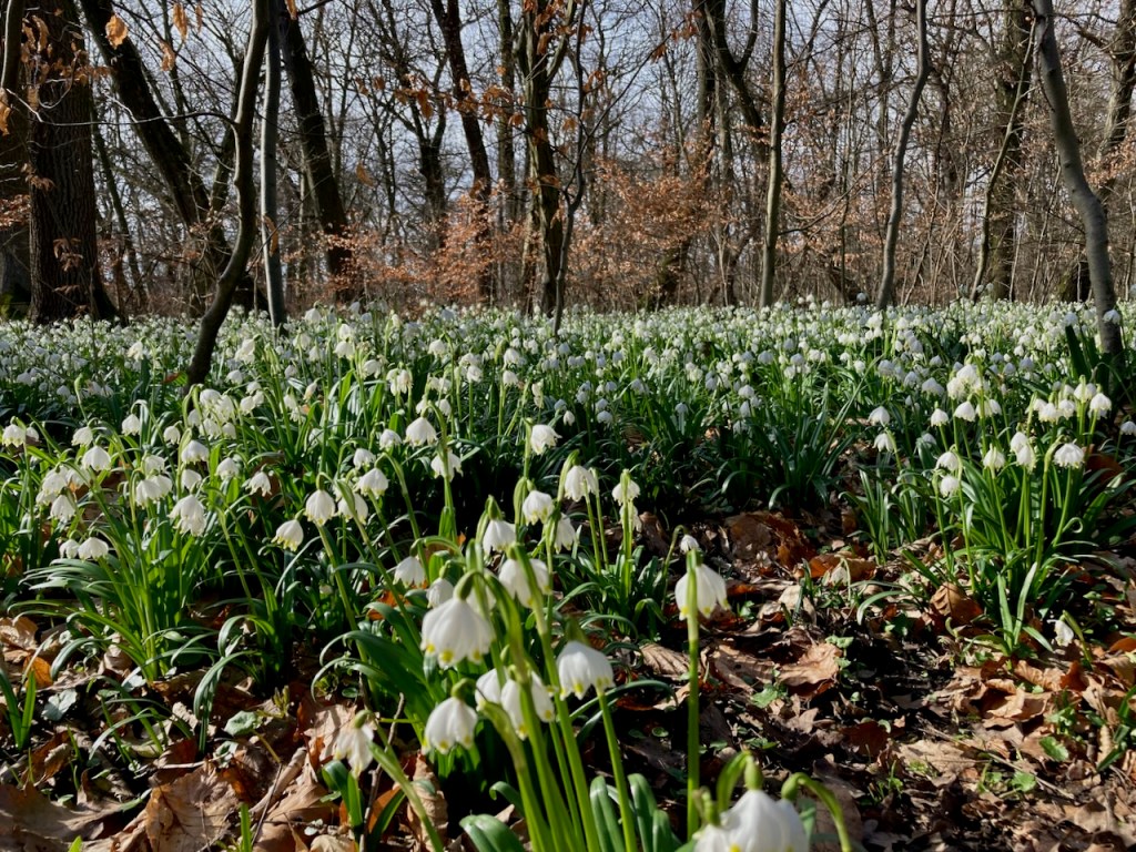
. . . and past fields of tiny spring flowers. The little yellow ones are Winterlinge, visible for just a few weeks as winter fades into spring, the white ones are called Märzenbecher, which roughly translates to “March goblets”, and the purple ones are, of course, crocuses.

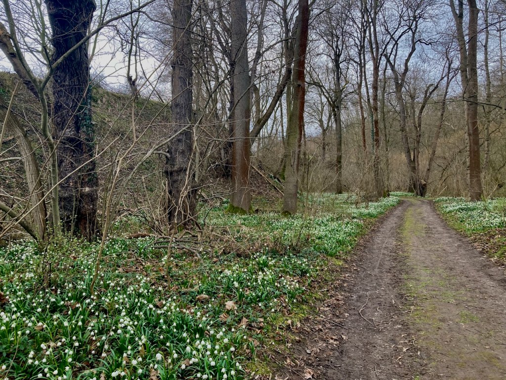
The SaaleHorizontale route passes through many little villages that look a lot more remote than they are. The hills make for the remoteness while their location in the valley mean that the university city of Jena is a short public bus ride away.

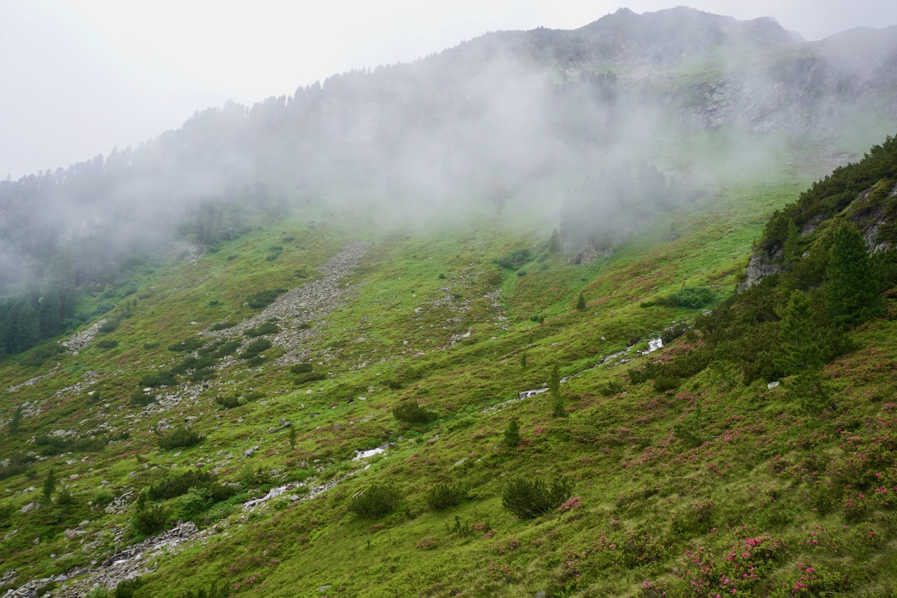
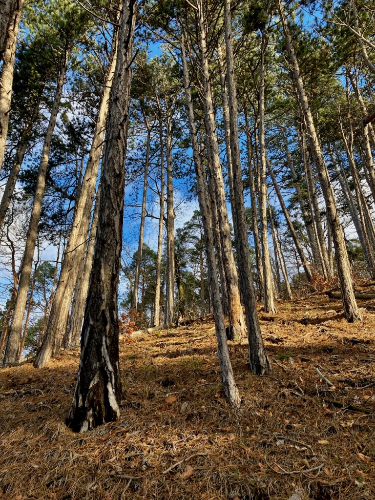
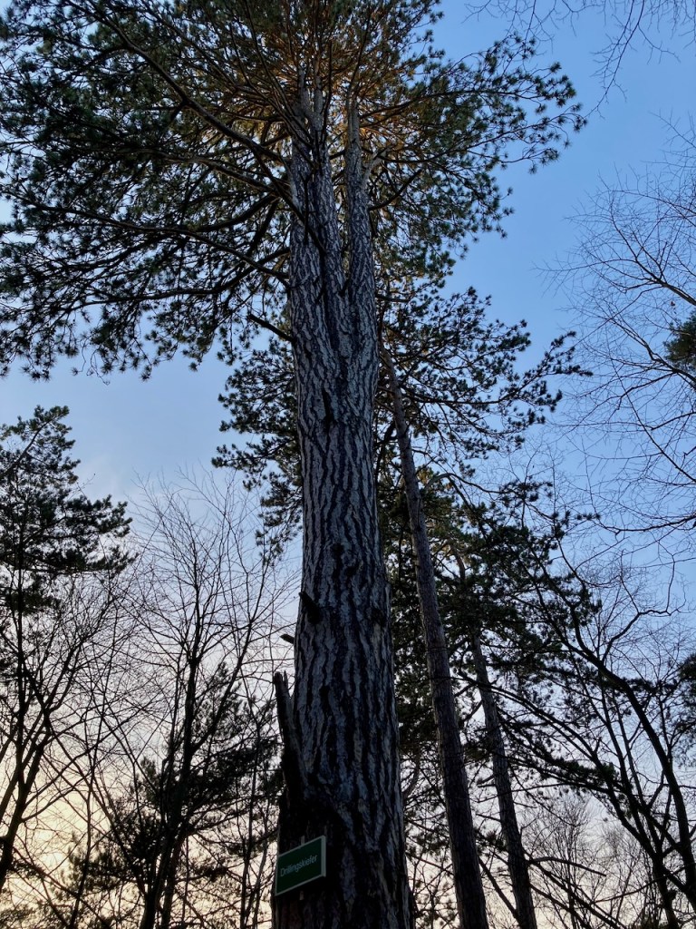
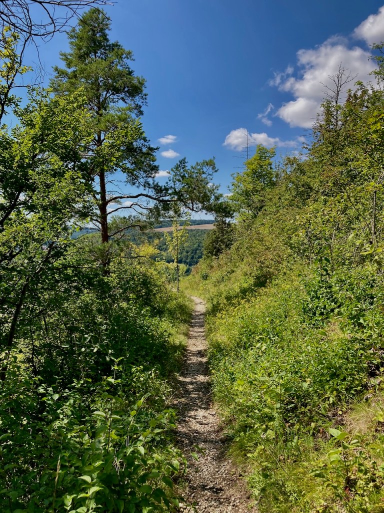
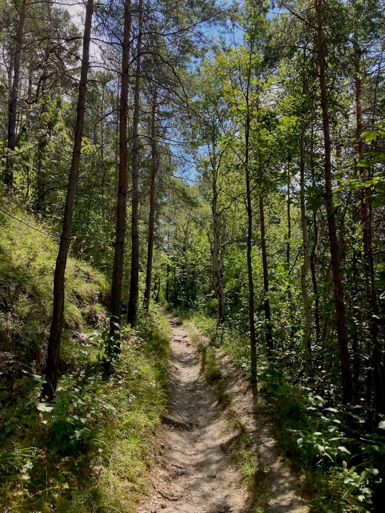
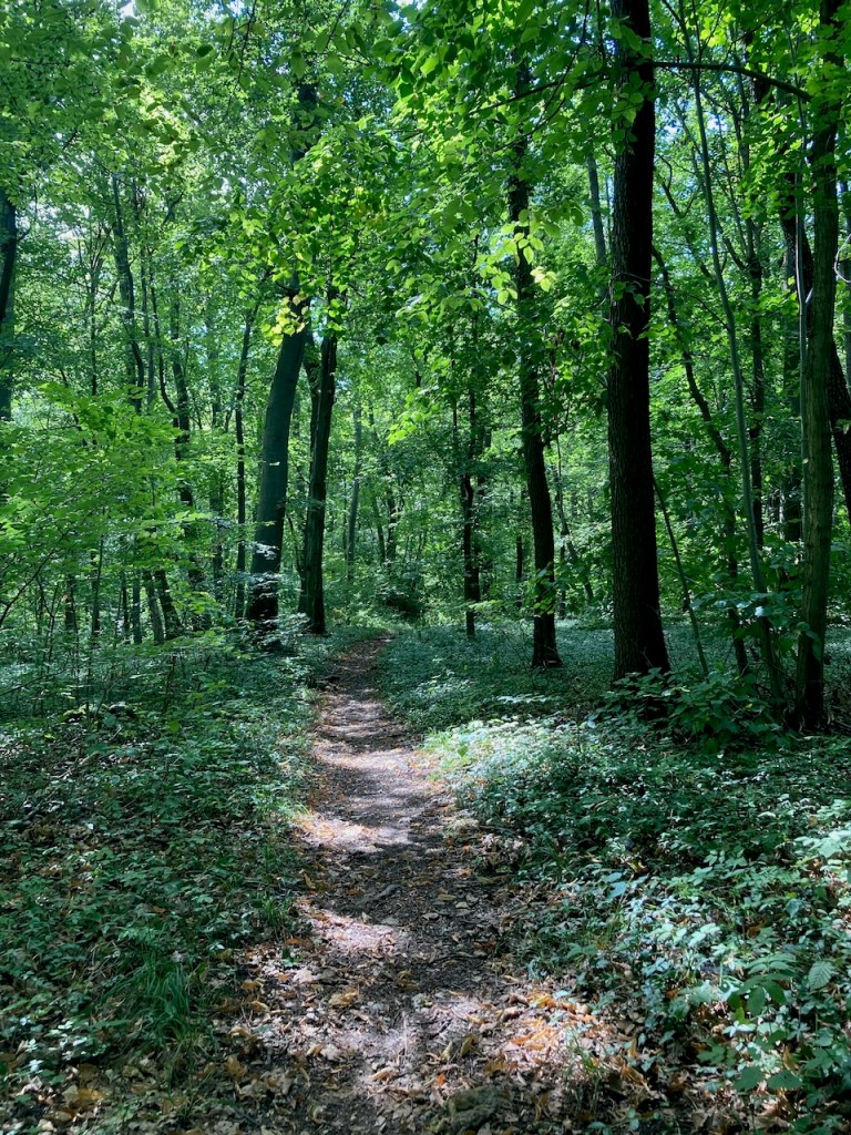
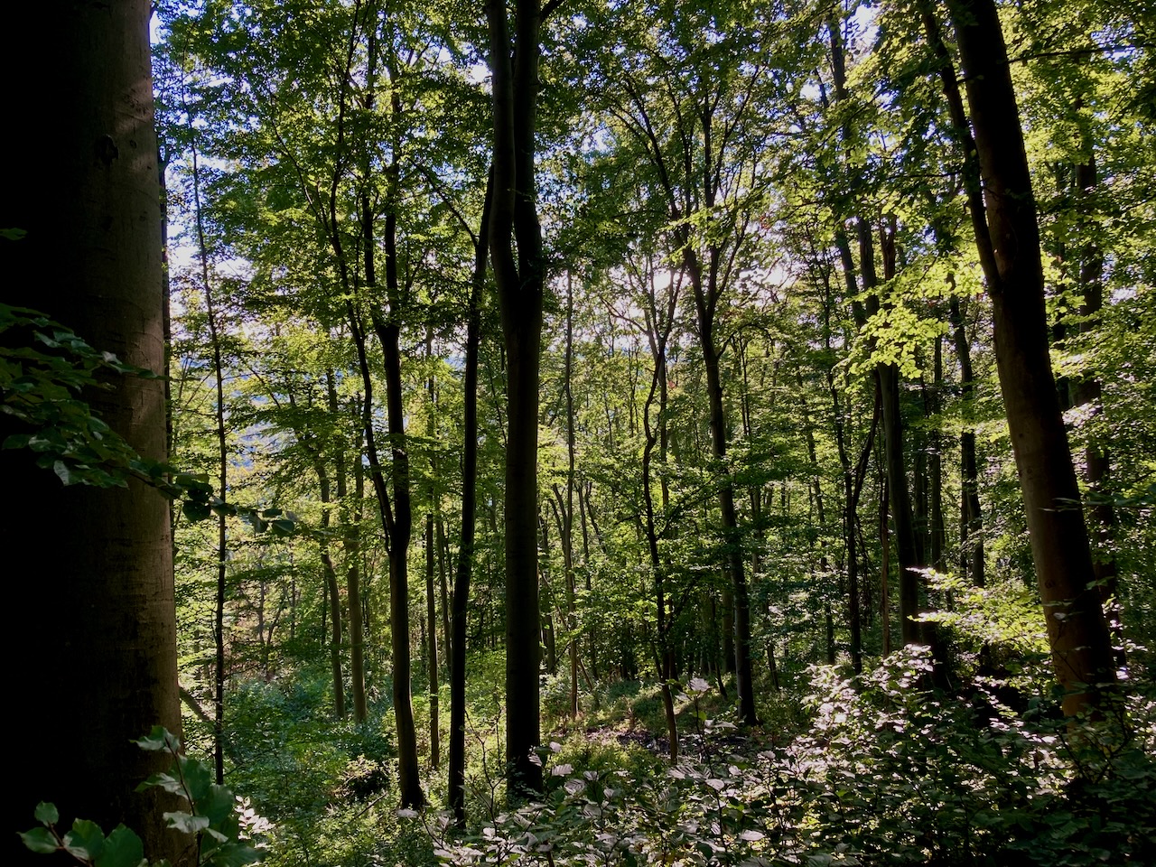
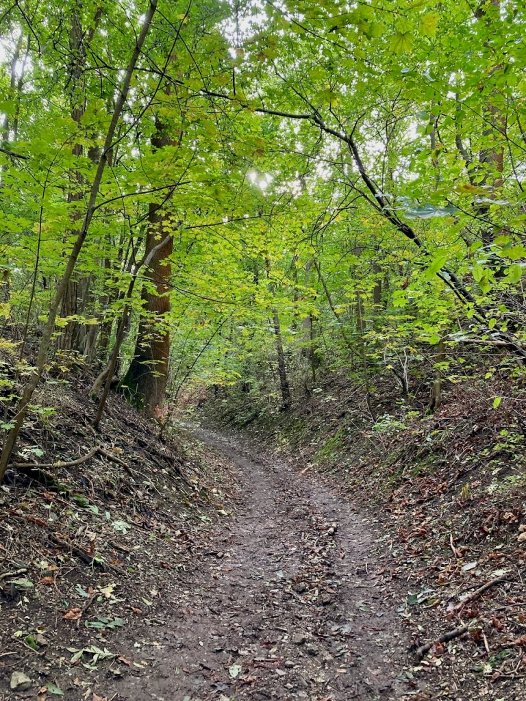
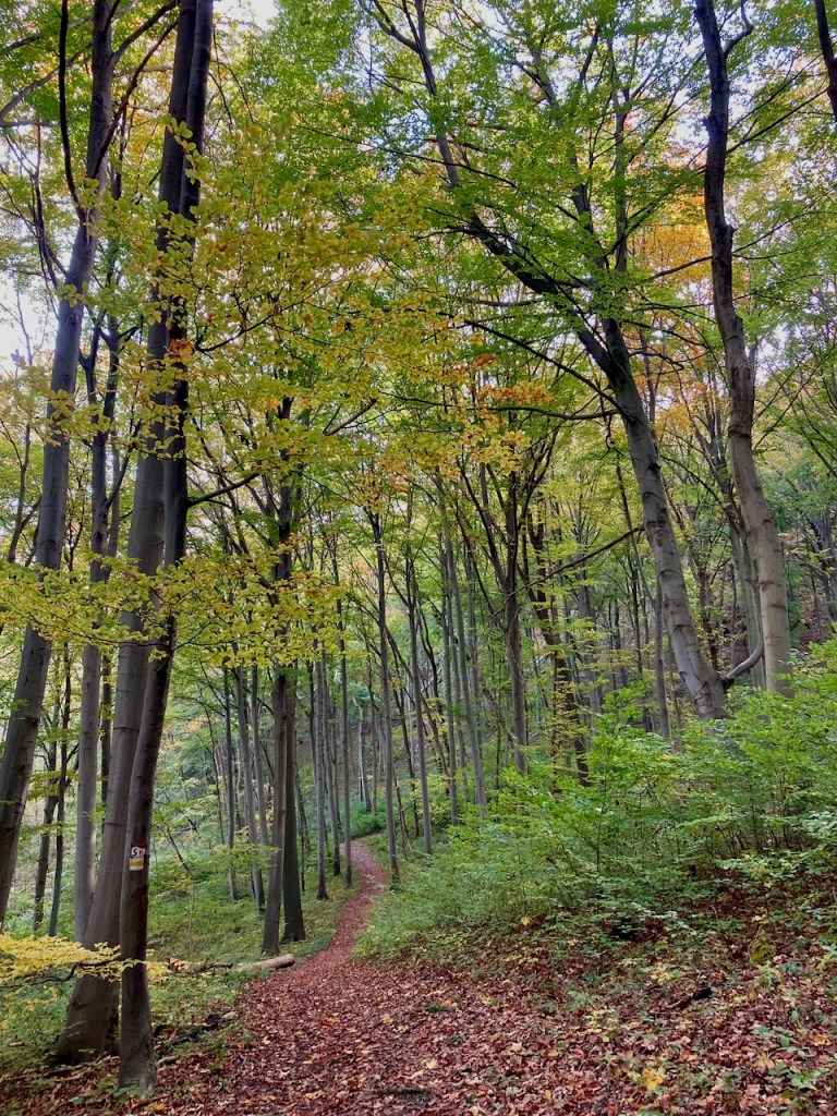
My favourite parts of the trail are in the woods . . .

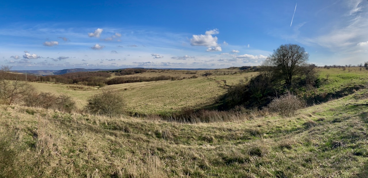
. . . and I love the moments where the sun shines through and leaves patterned shadows. My very old phone doesn’t take the smoothest panoramas, but the clouds really were storybook clouds and the grass really was turning green again.

Stage 7: Zwätzen to Papiermühle (9.3km) – Early March

Shortly thereafter, in order to once again enjoy the tenderest flowers, my partner and a friend, both of whom had been along the previous weekend, went with me for another walk in the woods.

Rather than down jackets this time, we stripped off layers and headed up hills into the sunshine.

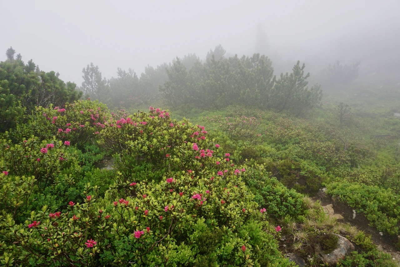
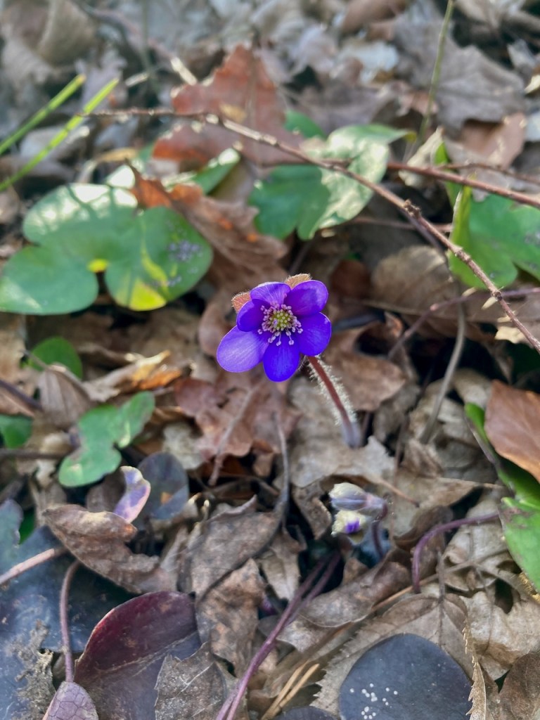
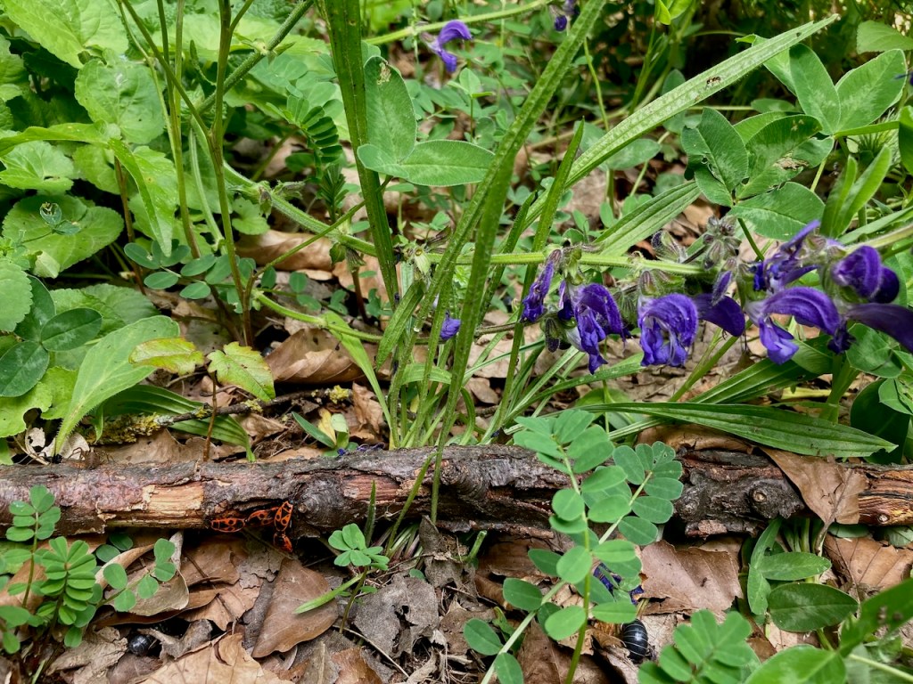
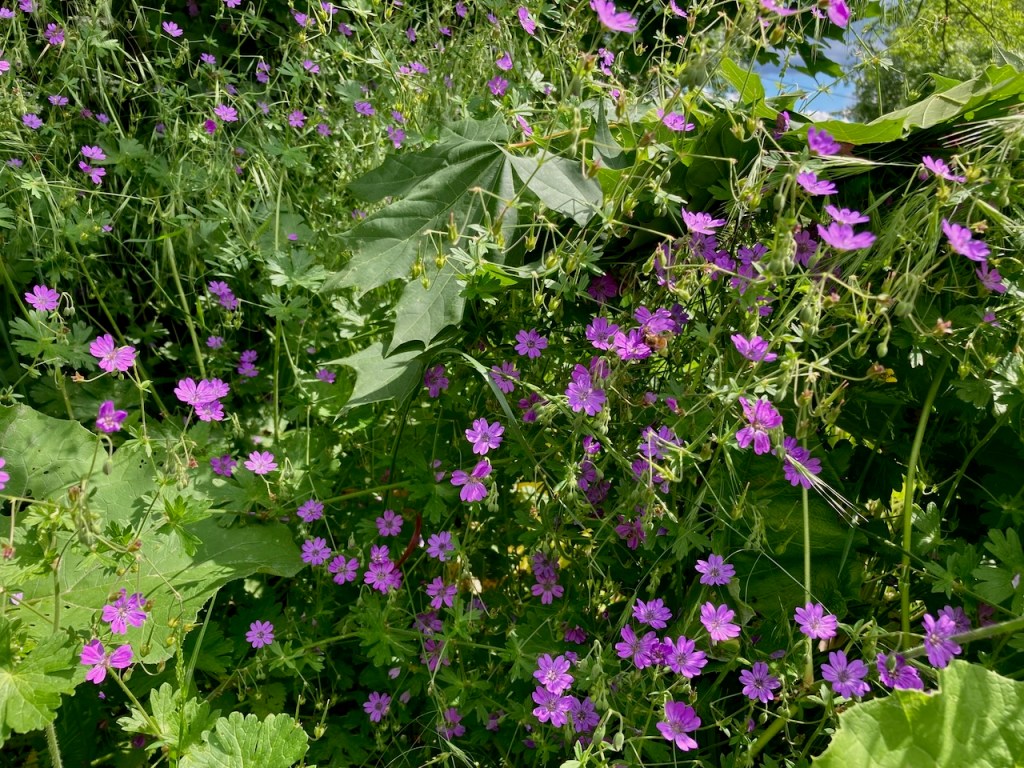
The first signs of spring, which grow with abandon and without scruple, had settled into a thick carpet on the forest floor.

Today’s stage took us over a plateau where it’s not hard to imagine Napoleon’s army standing in 1806. There’s also a monument that we’d visited before, as well as a museum in a nearby village dedicated to the area’s battle. Every so often in this area, one comes across markers designating that Napoleon and his army had been there.

Clearly, the battles of Napoleon were not the only confrontations that had taken place there.

We watched the sun beginning to set as we made our way to the end of the trail and back to the train station.

Stage 8: Papiermühle to Ammerbach (10.9km) – Late May

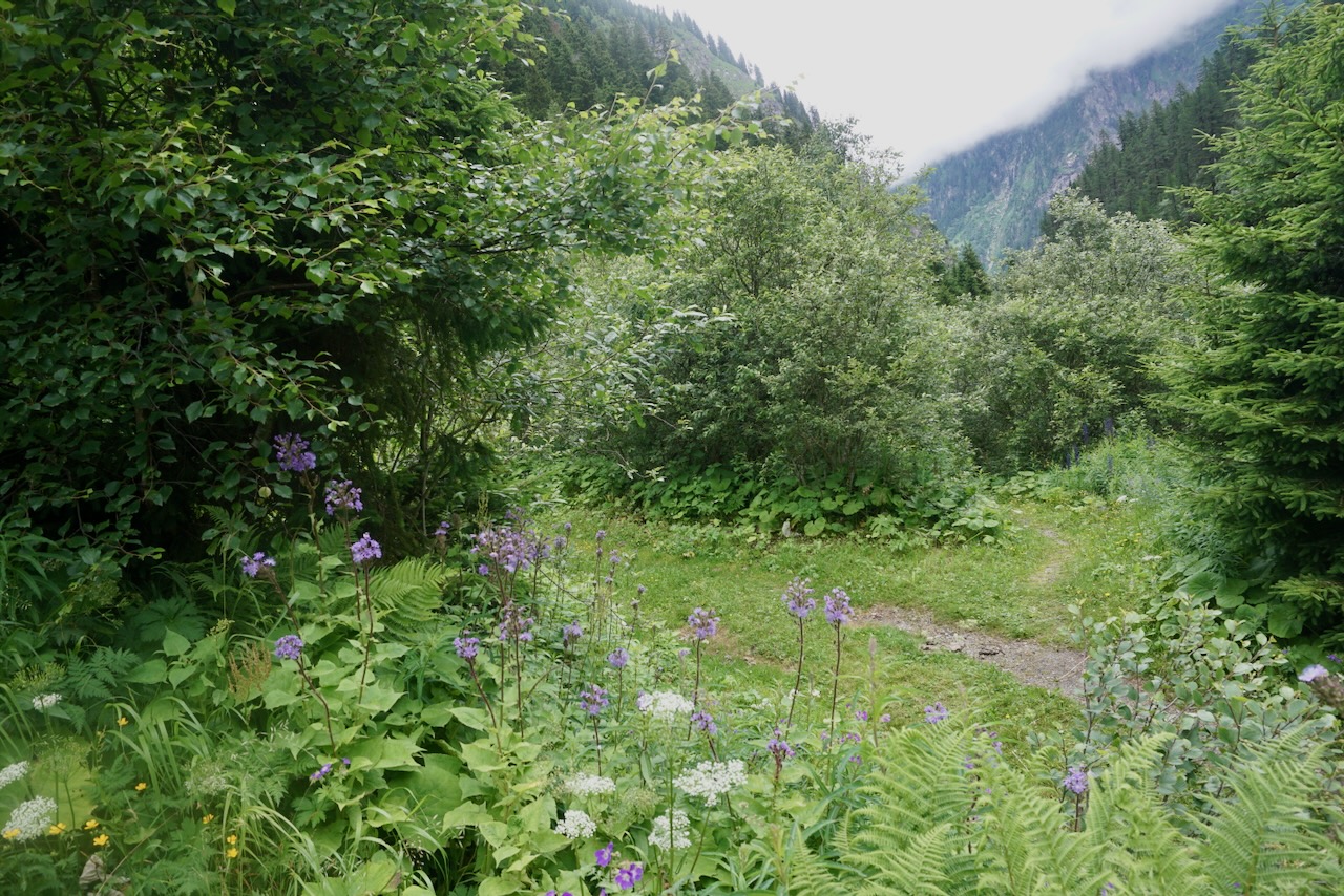
More than two months passed before I made it to the SaaleHorizontale again, this time accompanied by yet another friend. The day was hot and humid, the leaves lush and green, and the air had the smell of the coming summer. It was the kind of warm day that quickly cools off when the sun goes down, which is how you know it’s very much still spring.

We passed a number of sights of interest along the way including Bismarckturm, celebrating the great general and unifier himself . . .

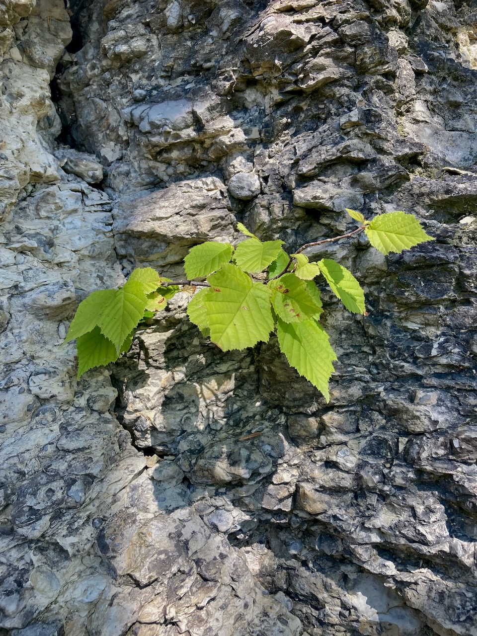
. . . a marker denoting the different layers in the earth and the sadly unclimbable rock . . .

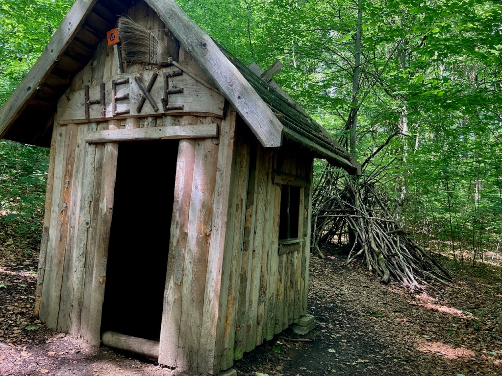
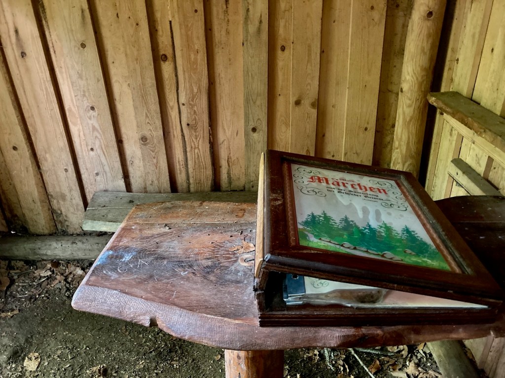
. . . and a section that was part of a children’s discovery trail of fairytales and witch houses.

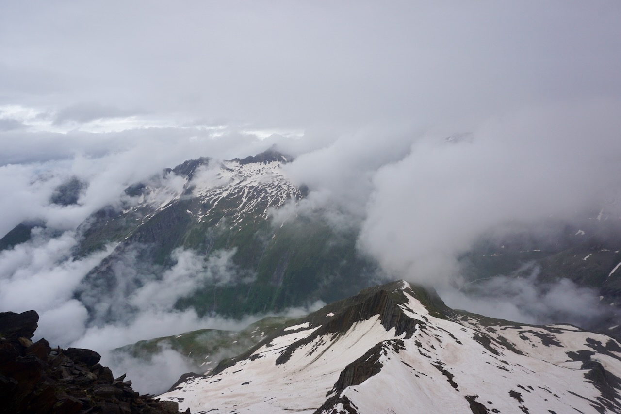
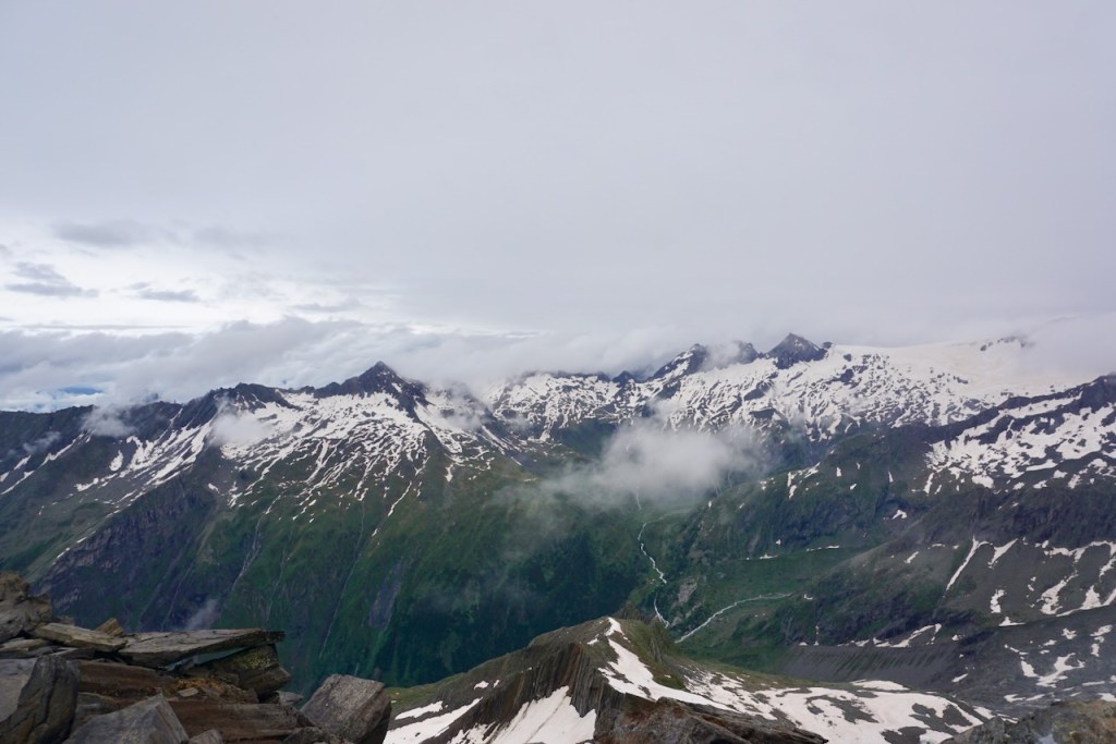
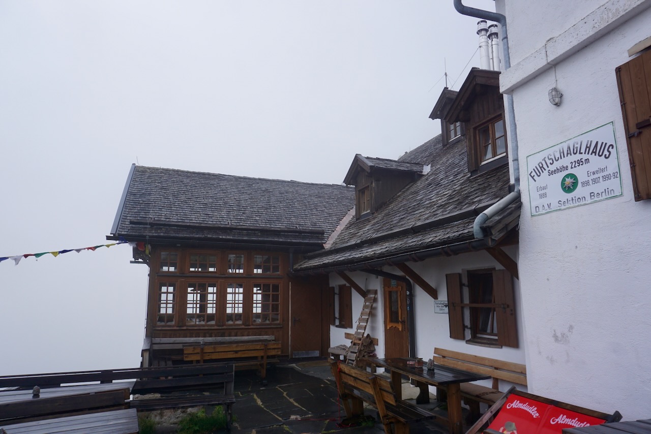
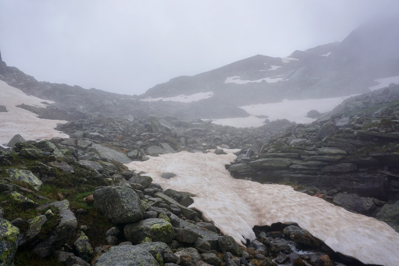
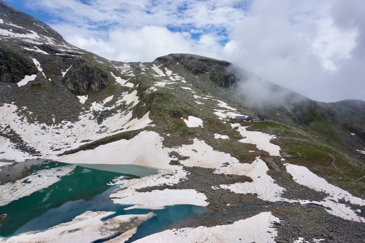
As I had for months by this point, I was using every hiking opportunity to break in my increasingly-less-new mountaineering boots in preparation for our Alps tour over the summer. They are far too intense for a casual walk in the woods, but they have seen many kilometers of this trail.

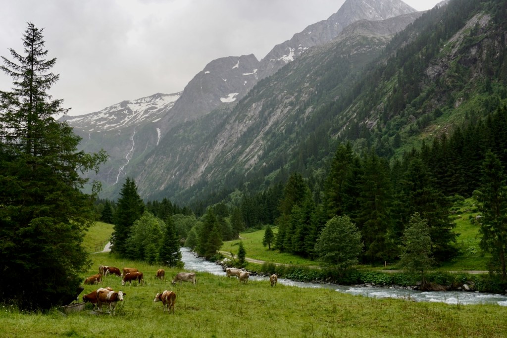
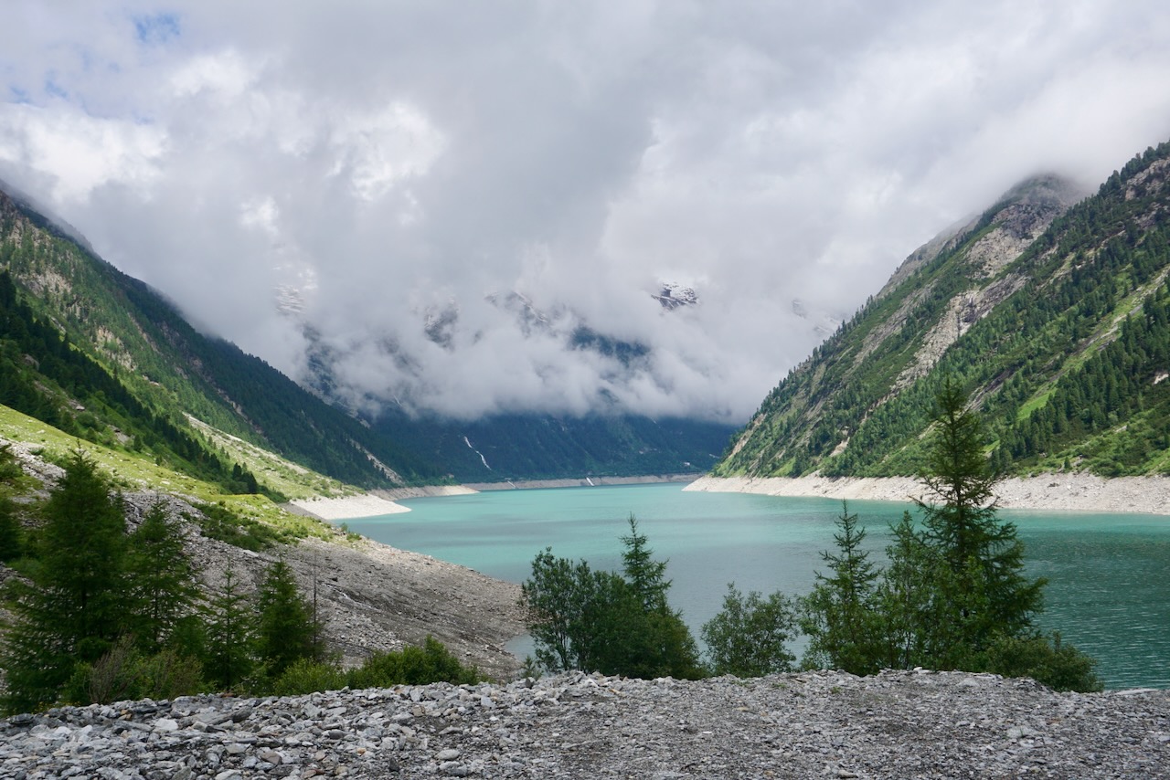
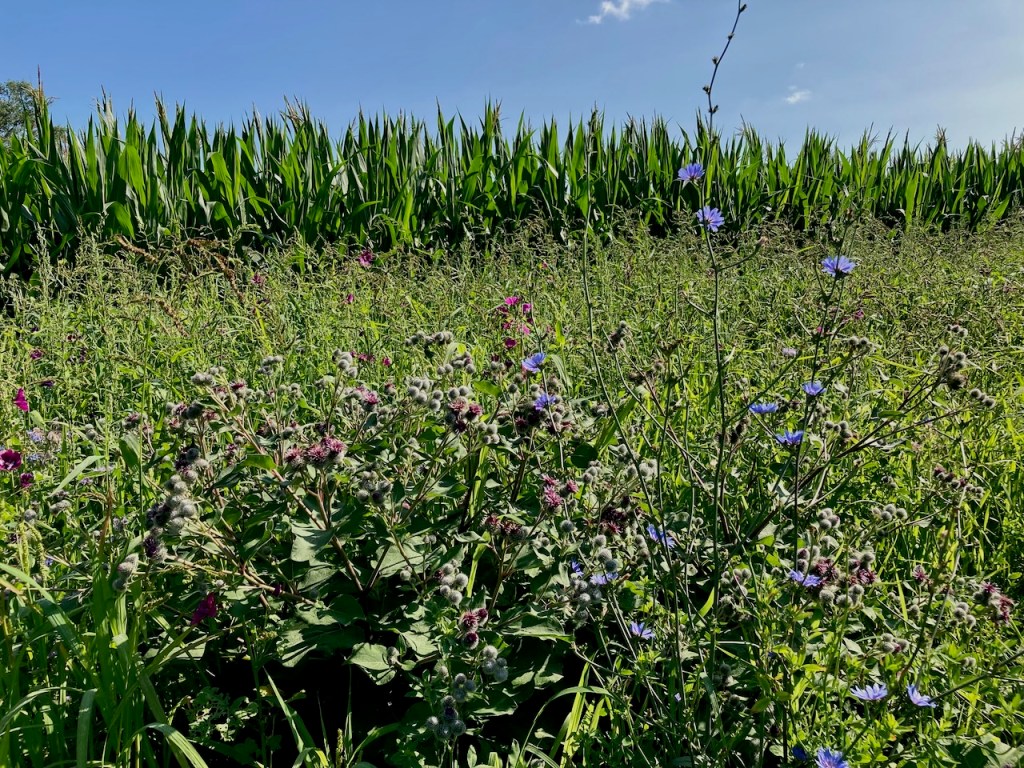
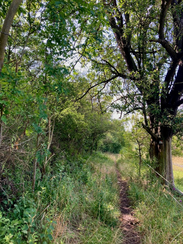
Stage 5: Porstendorf to Dorndorf (18.2km) – Late July

My next stage on the SaaleHorizontaale was the longest, but it was a comfortable way to spend the day in comparison to the outdoor adventure that was climbing the Zugspitze, which my partner and I had done just a week earlier. While I very much appreciate that all stages are organized with accessibility to public transportation, I did not love the approach along a road for this one . . .

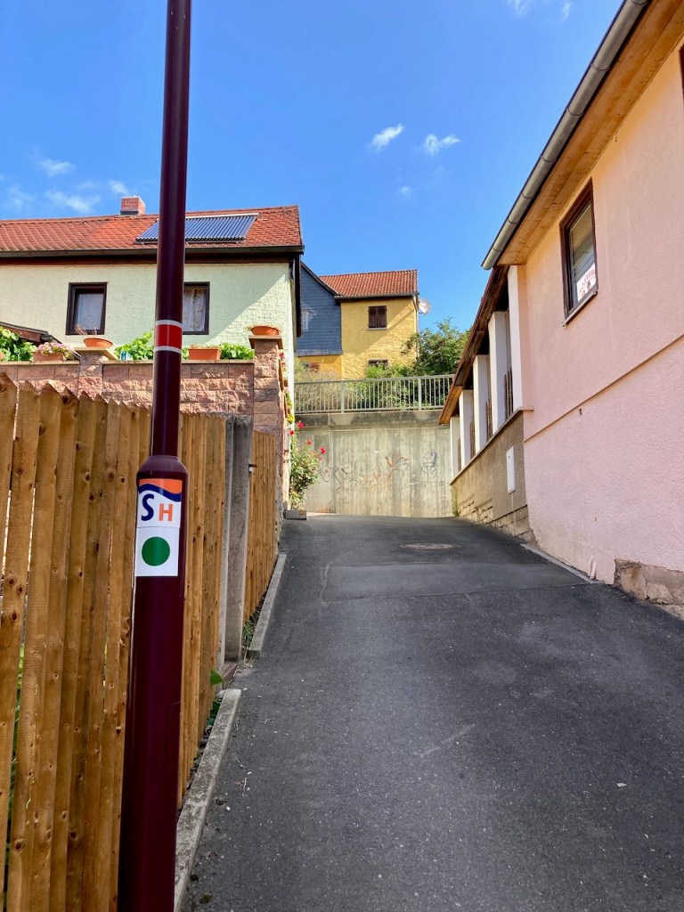
. . . and was very happy to see the trail markers that pointed, as the SaaleHorizontale often does, along a small alley through a village.

I walked past farmers’ fields . . .

. . . and then remained largely on narrow paths . . .

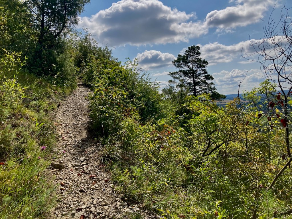
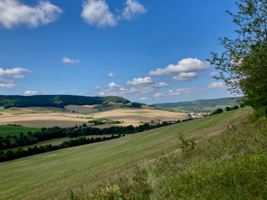
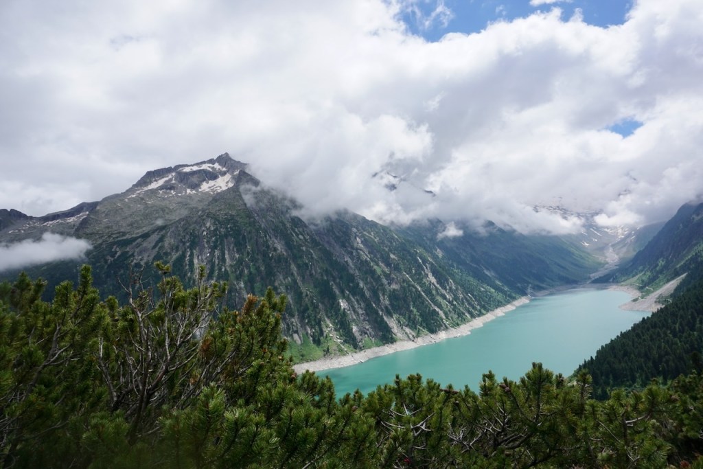
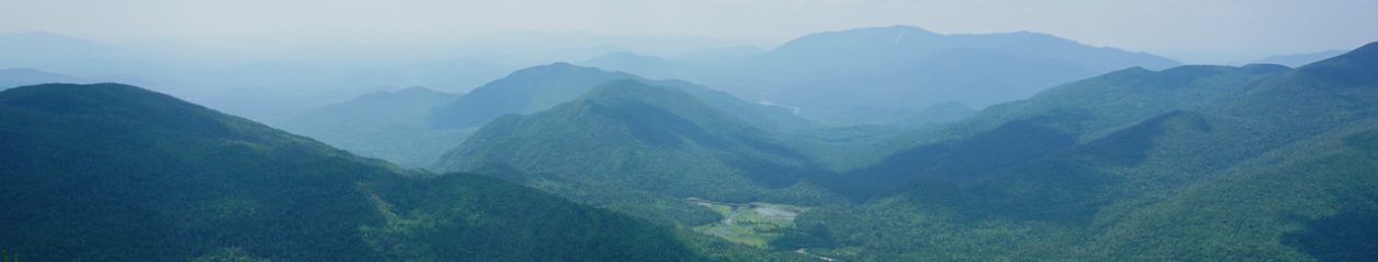
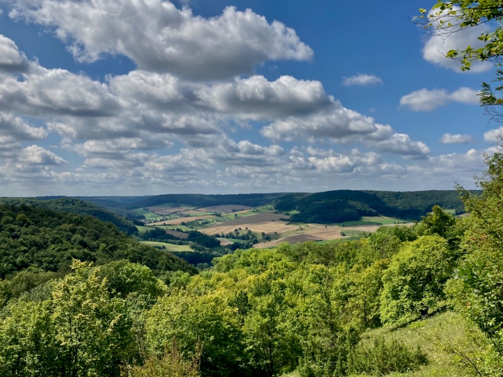
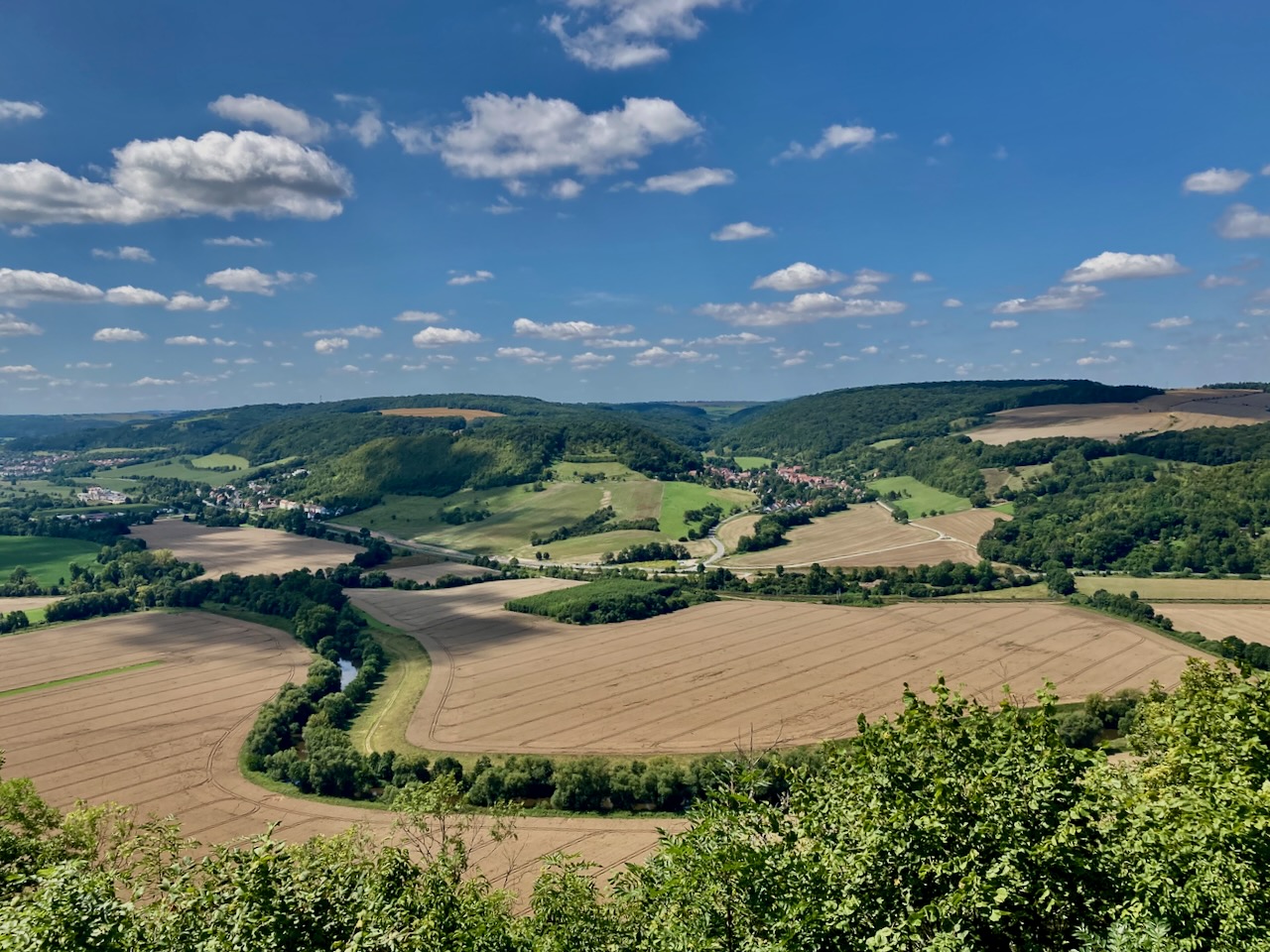
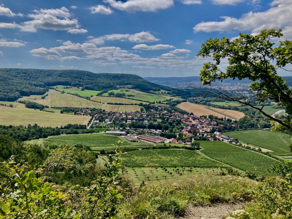
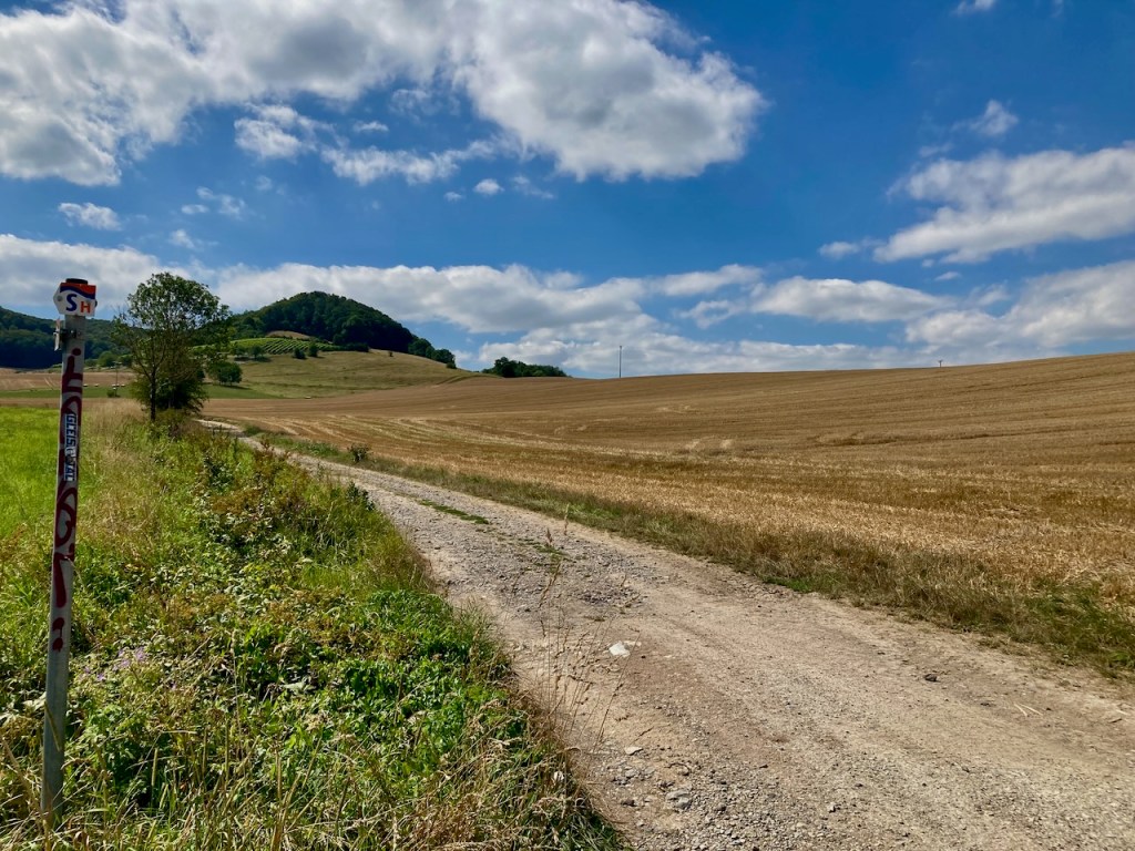
. . . steadily working my way upwards towards a view of rolling hills and harvested and harvest-awaiting fields interspersed with forests. This is so typical of the landscape here and I love it anew every time.

It was a hot day and I was glad to make it into the cover of the forest.

The butterflies were busy enough that I could inch closer, and I wondered at the old road in what was now woods.

I passed a village with the remains of a castle . . .

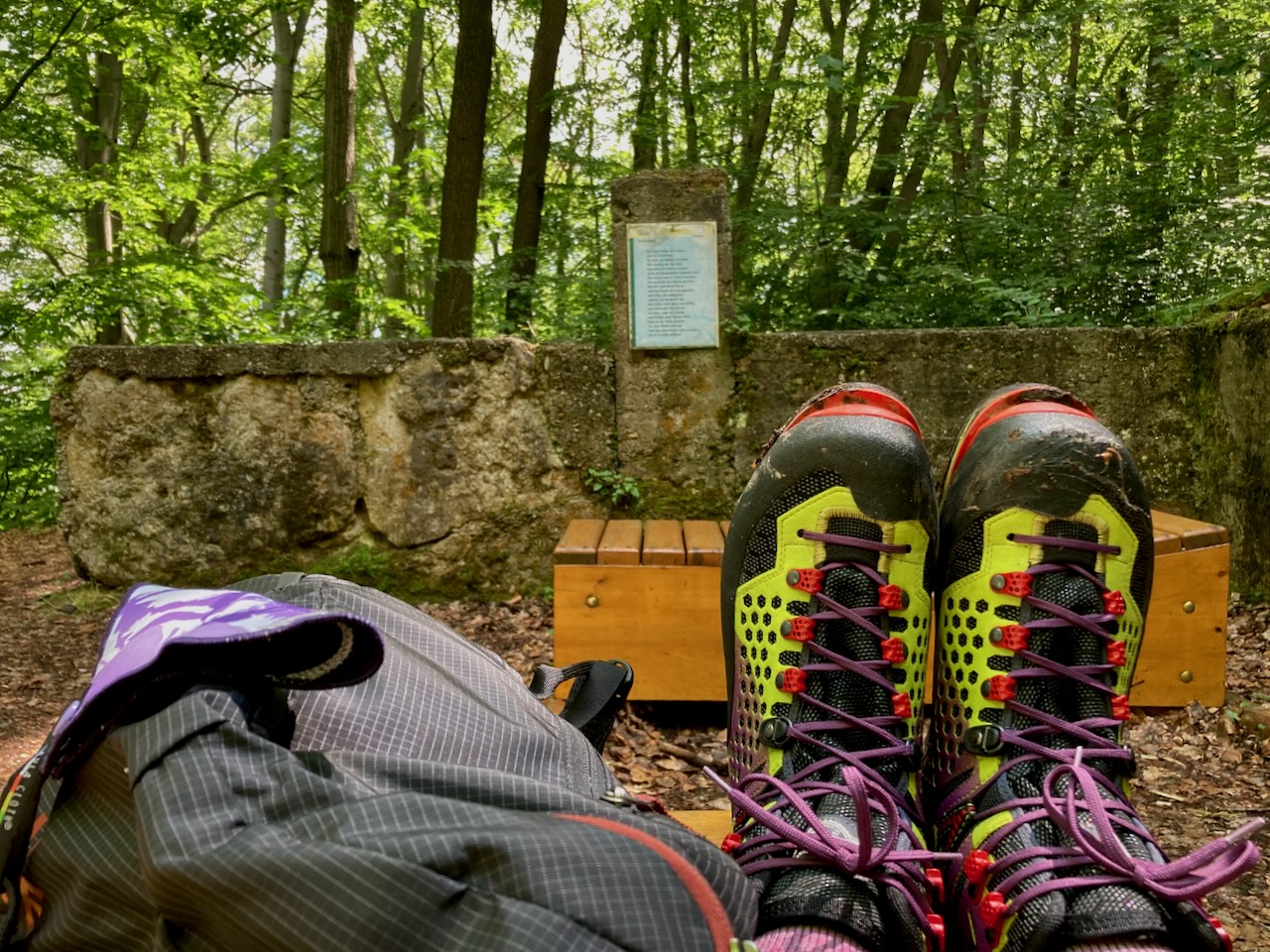
. . . took a break at one of the many picnic tables that one finds on hiking trails around here . . .

. . . and once again took in the view from above.

I crossed a small lookout point named for a duchess and princess who had lived in the area . . .

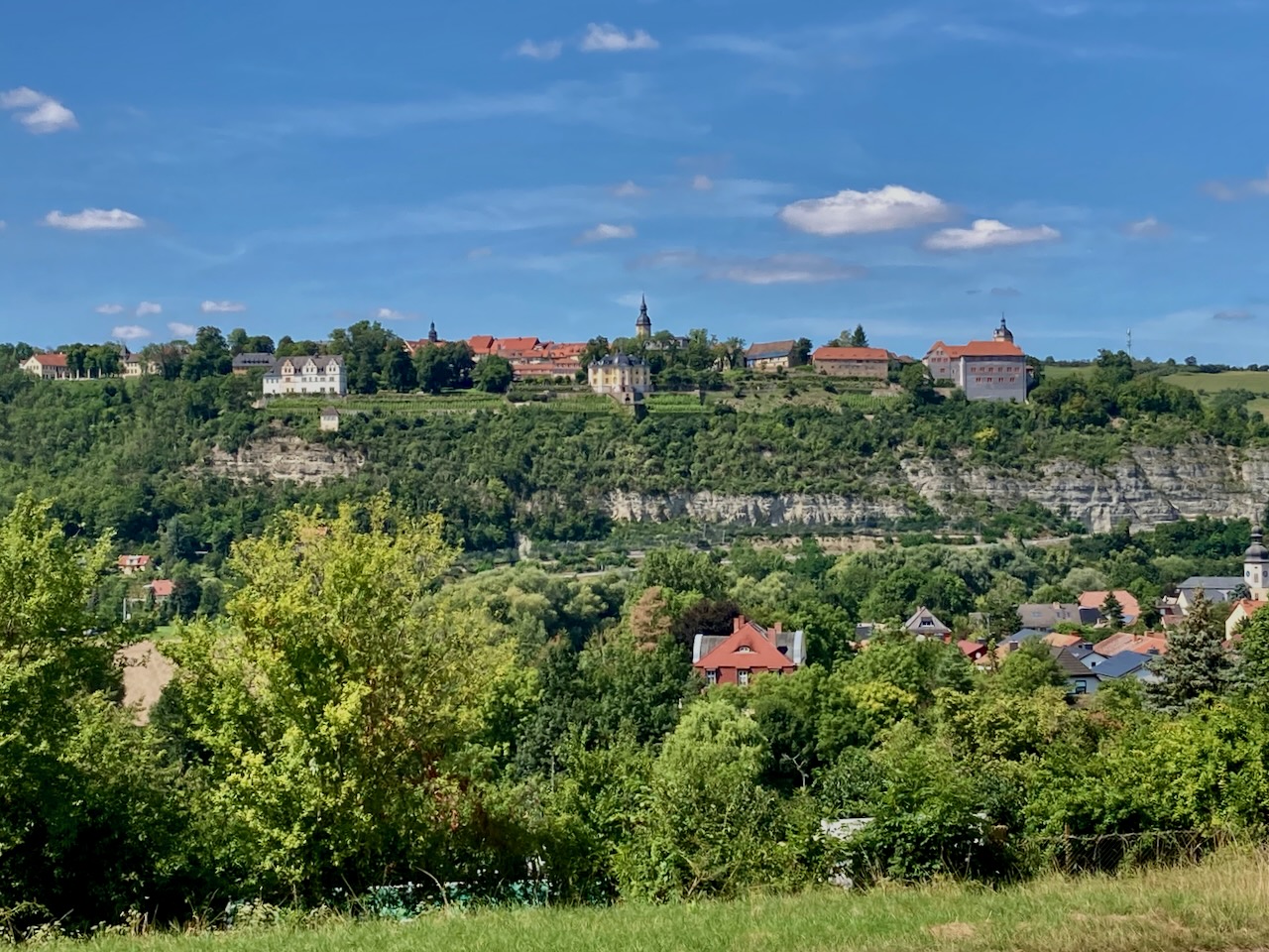
. . . and found myself looking up at the palace where my friends and I had started for stage 6.

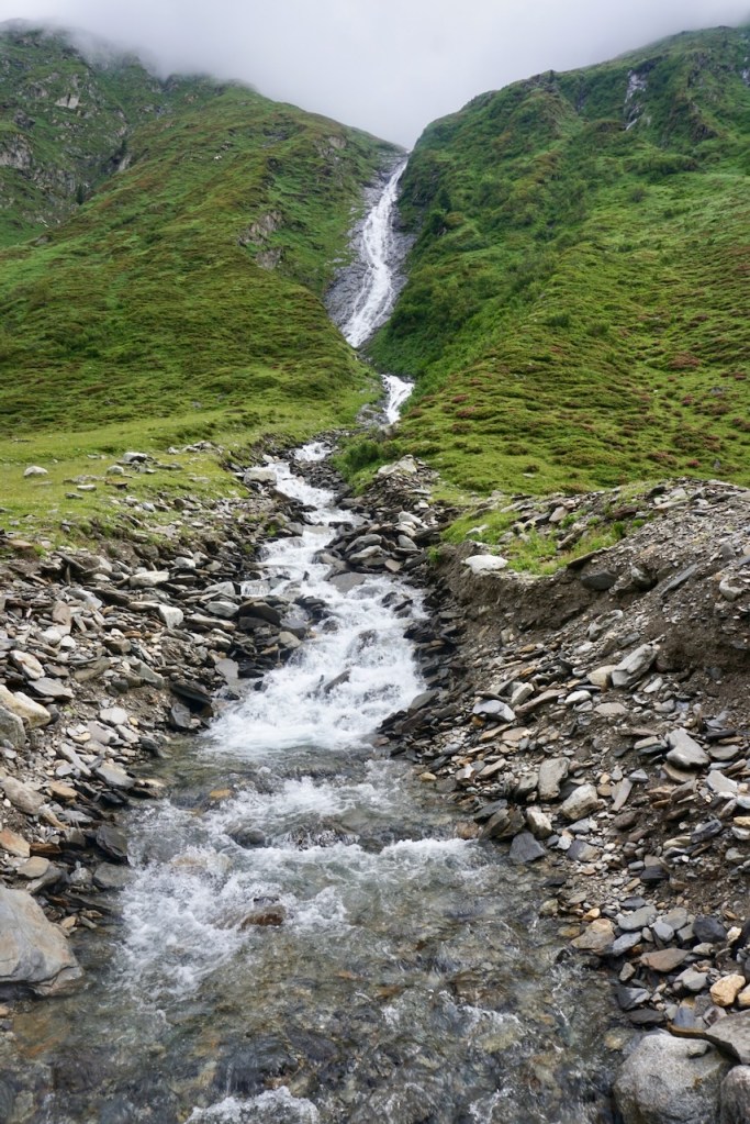
Rather than dip my tired feet in the springs that seem to be there just for this reason, I practically ran to the train station. The following train would be in an hour and I was too hungry to wait.

Stage 4: Kunitz Loop (9.7km) – Mid-August

There is only one stage on the SaaleHorizontale that starts and ends from the same point, and the majority of this stage is the approach. As a result, my partner and I relied on other trail markers to get us where we wanted to go.

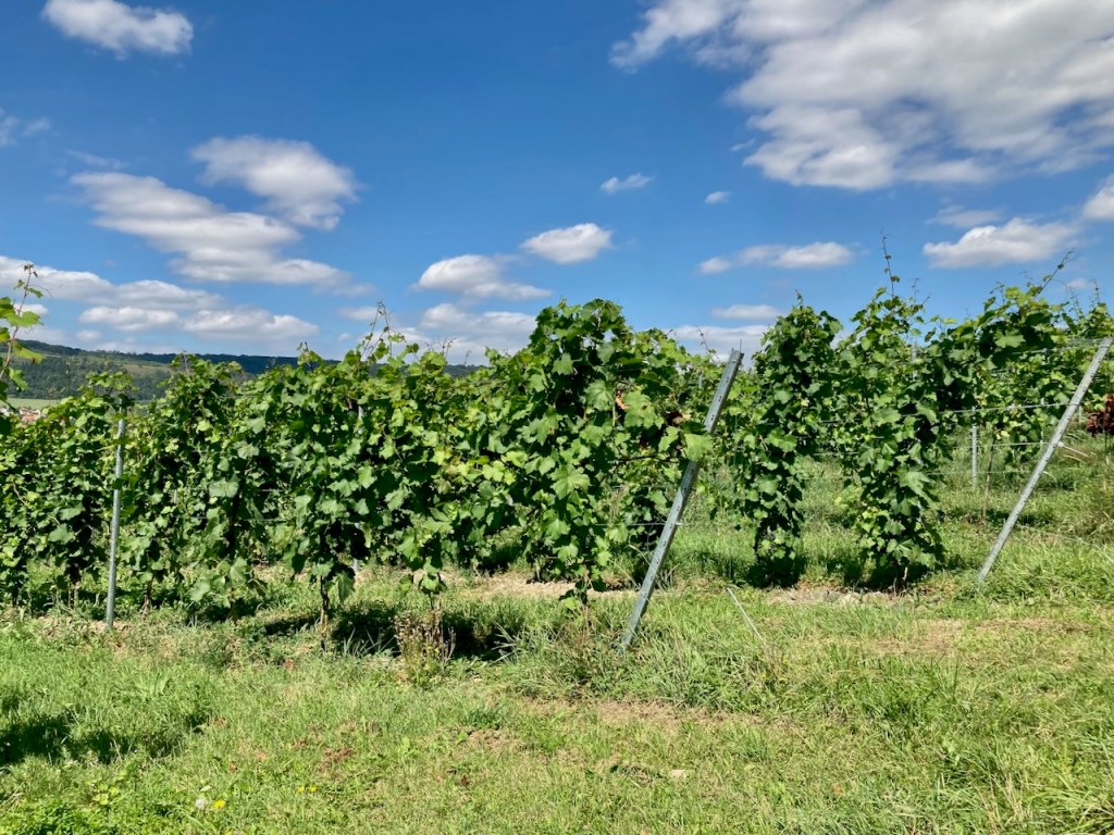
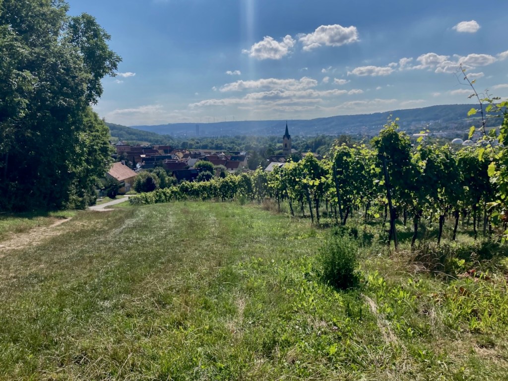
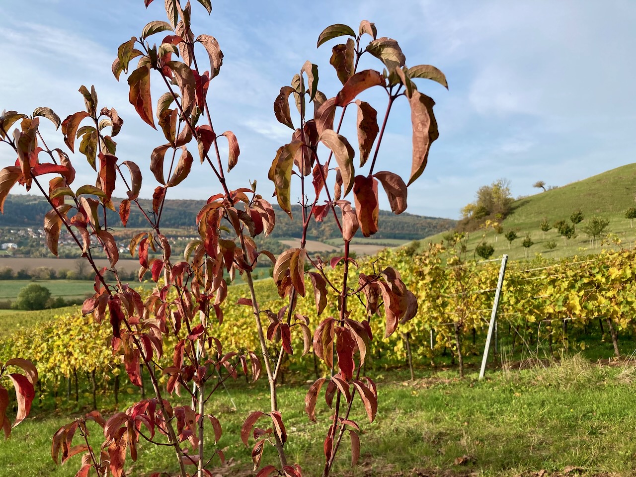
We passed vineyards along the way and I can attest that the wine grown on the hillsides of this region is lovely.

We were glad for the portions of this stage that led us through the forest because the mid-day August sun was hot indeed.

We lingered for a few moments in the cool of castle ruins and asked ourselves what the valley had looked like back when there was a castle here.

The fields were in varying stages of harvest time and the air smelled like hay.

We walked for a couple hours before reaching the sign for our stage of the SaaleHorizontale . . .

. . . and the rest of the walk left us with the feeling of this stage being somewhat forgotten, its purpose to connect two other stages rather than having an identity of its own. There’s a run each year that follows the entirety of the SaaleHorizontale, which would therefore skip the approach and descent to public transportation locations; perhaps this stage makes more sense when done like that, but I am not about to find out.

Stage 9: Ammerbach to Göschwitz (12.3km) – Mid-September

The calendar had just flipped over to fall the next time my partner and I took a walk along the SaaleHorizontale, but a fall feeling had been in the air for somewhat longer. The light had changed, and this is always a sign.

The beginning and end of the trail was located in the woods, woods with which we had become familiar in the months walking the hills around Jena.

Hay bales were drying in the fields and grass had regrown. These are signs of fall, of summer having just gone.

But only just, as the corn was still waiting. Where I grew up, corn is grown to be eaten, and a great joy of my childhood was being sent outside to shuck the yellow ears. My middle sibling and I played “old fashioned times”, corn opening the portal to another world. The corn that grows in this area is meant as animal feed or to be processed into fuel, but the sound of dry stalks as the wind rushes is one I know and it takes me back.

We ended this stage in the woods again, and I liked the feeling of coming full circle over the course of the afternoon.

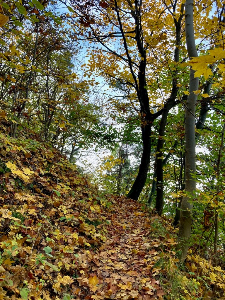
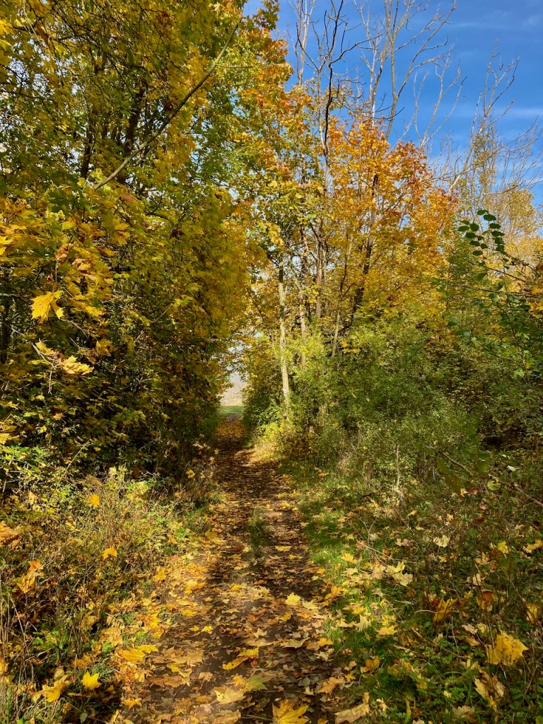
Stage 2: Kupferplatte to Wogau (13.6km) – Early October

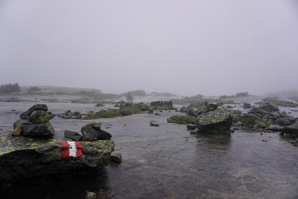
The last stage that I completed alone was probably my favourite, and this despite nearly four hours of steady rain. A good jacket and study shoes go a very long way.

The approach to this stage went immediately through forest, blue skies above, and I was reminded of the descent from the first stage along the same path back in January, the first time I had experienced rain on the trail.

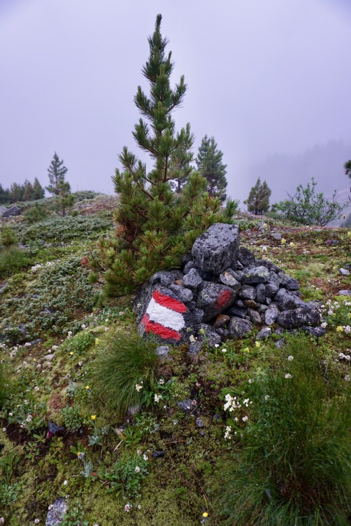
It didn’t take long to reach the first set of trail markers, by which time the steepest part of the route was already behind me.

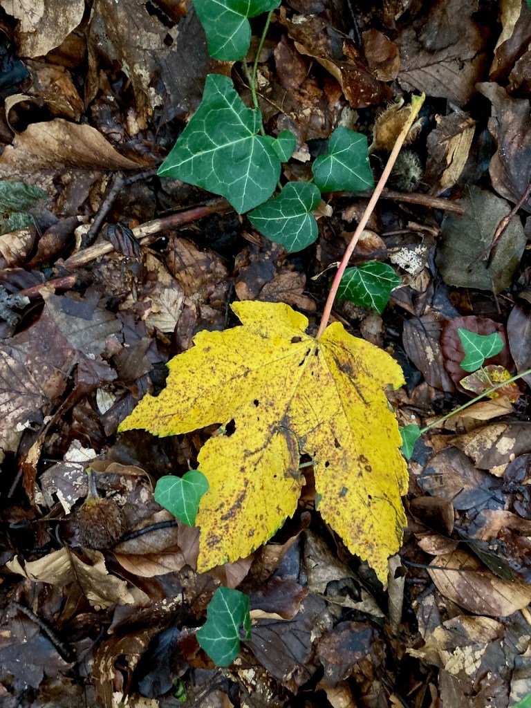
The leaves in the forest were slowly starting to change colour and the clouds began to roll in.

Good views were the reward for much of this stage . . .

. . . and even the increasingly muddy crossings over fields failed to bother me.

I walked by an old cemetery . . .

. . . a monument to someone I’d never heard of but who is important to the history of Jena (according to brief research while writing this post) . . .

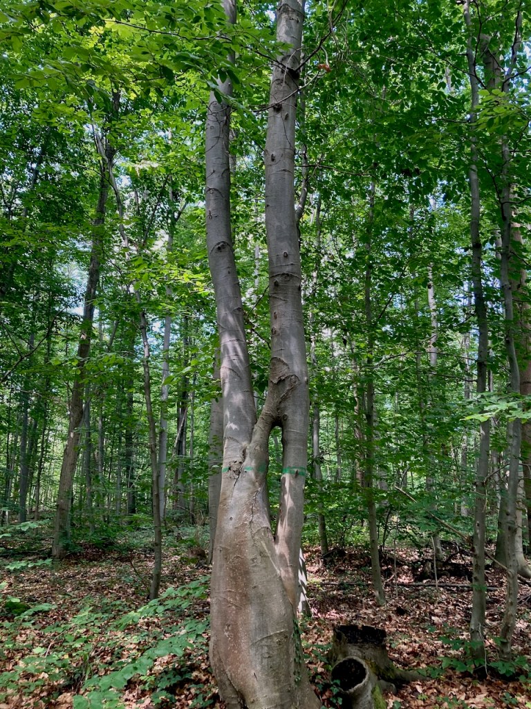
. . . and a tree with a stunning root system that clearly ignored the expectation that it remain in the ground.

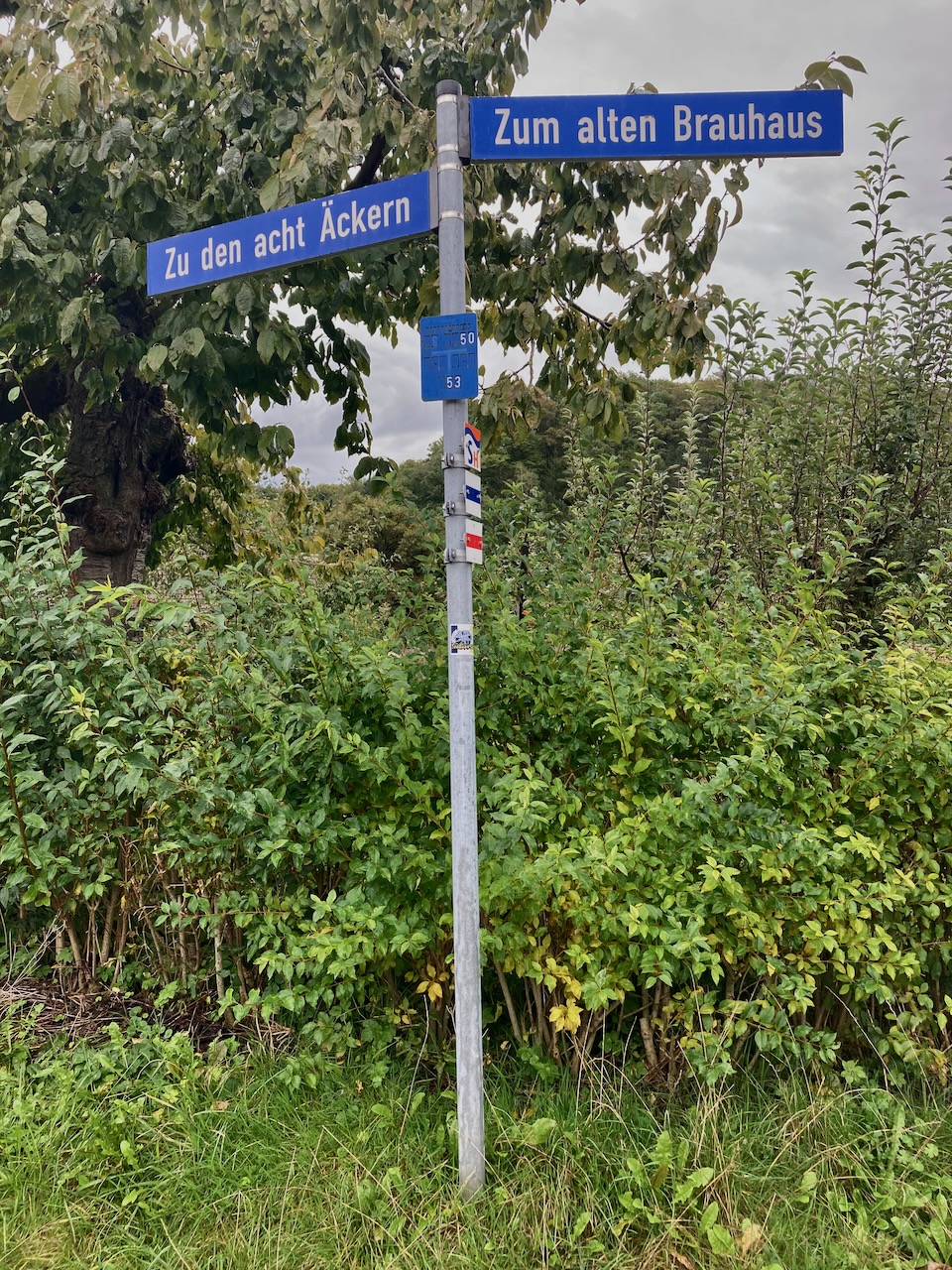
I crossed through a village in which the street signs nodded to times past . . .

Left to the eight acres and right to the old brewery

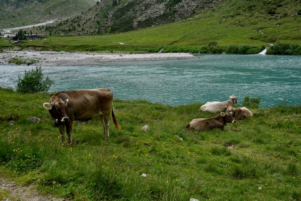
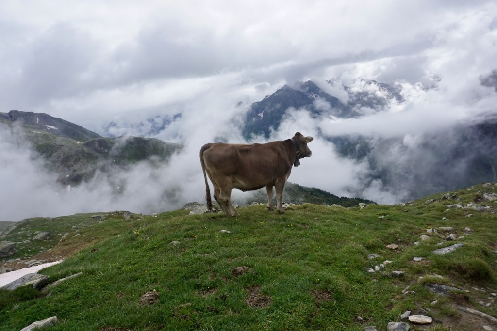
. . . and then came upon a field at the edge of the forest populated with hungry cows and their curious calves.

The stage concluded as I skirted the edge of the field and though I had thoroughly enjoyed it, I really was looking forward to getting out of the rain.

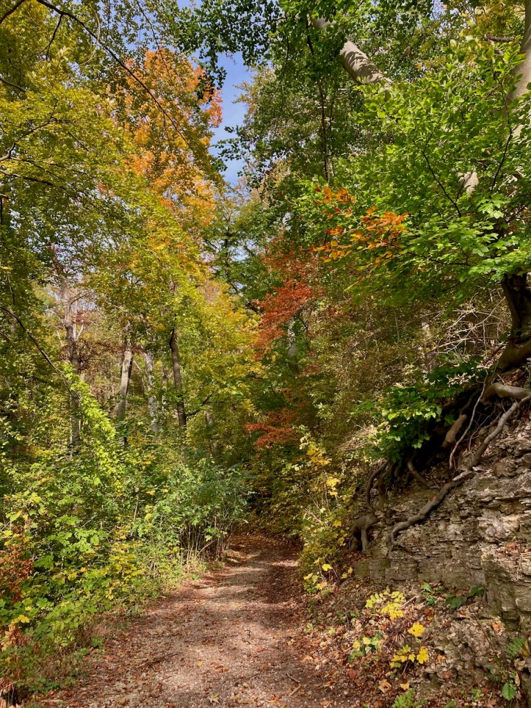
Stage 3: Wogau to Kunitz (12.6km) – Mid-October

When I finished the previous stage, fall was slowly beginning. Mere weeks later, it had arrived. My partner and I took the blue skies as a sign and headed out to have a look.

The stage took us through several woods, each with slightly different trees in slightly different stages of changing colour. The air felt fresh in each, the soil smelled different, and the atmosphere of each forest was clearly its own.

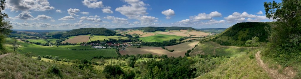
We walked on the edges of the hills and looked down at Jena.

Enticed by the sun, we lay back on conveniently located sun loungers to soak up as much vitamin D as we could. November is a dark, dreary month here.

We passed a sign that had clearly been here a while . . .

. . . and paused for lunch at a bench overlooking a tiny village, a little oasis just a stone’s throw from the city.

We crossed a field . . .

. . . leading us along a path back to an old ruin we’d been to before. The landscape in October was slightly different than that of July.

Finally, we passed the vineyards that I’d seen several times now, all at different growing stages.

We walked down the hill, followed the dotted line on our map to the end of the trail, and I grinned. Last stage done with a person I love on a sunny October afternoon.


And with that, I completed the entirety of the SaaleHorizontale. The moment of finishing was one of gratitude for the time spent walking in nature and for the people who had joined me. The world is a beautiful place, and even more so when it can be shared with others.

Walking allows us to be in our bodies and in the world without being made busy by them. It leaves us free to think without being wholly lost in our thoughts. – Rebecca Solnit, Wanderlust

In the Alps: Berliner Höhenweg

The German word “Hochtour” literally translates to “high tour” and the term is used to describe a trek through the Alps that passes through snow or over a glacier. As it’s been in Europe where I’ve become involved in mountaineering, I don’t know if there’s a single English word for this concept. I also don’t know how trekking through the Alps compares to multi-day trekking in North America, where I’m from. But I do know that my first Hochtour, accompanied by my partner and two girlfriends, left me hungry for more.

Based on available time and building in a buffer for the weather (summer is thunderstorm season in the Alps), we decided on a four-day trek along the Berliner Höhenweg, a famous nine-day route in the Zillertal Alps in Austria. Based on a weather report from friends who were in the area at the beginning of June, we changed some of our packing to include essentials for snow, which had come late and heavy. We added an ice axe, crampons, trekking poles, climbing harnesses, carabiners, and a rope; all of these items are needed to cross a glacier (stay tuned for a blog post!) and all could be helpful in snow. In the best case, we wouldn’t need anything but the crampons and trekking poles, but preparation is key.

Day 1: Breitlahner to Berliner Hütte

Our Hochtour began with a warm-up hike from the long-term parking lot at the Breitlahner restaurant and guesthouse to the Berliner Hütte, the first of the guesthouses (“Hütte” means “hut” but that has a different connotation in English) to be built in the Zillertal Alps. We ascended 780 meters in just over 9 kilometers, arriving shortly before the rain.

As we would quickly learn, we moved rather more slowly than the posted time estimates. This was likely due to inexperience within our group, but we also suspected that the estimated times described perfect conditions without backpacks. (Or so we told ourselves.)

The way led us past rivers and waterfalls . . .

. . . through fields of flowers, including our only wild edelweiss right at the Berliner Hütte . . .

. . . and alongside grazing cattle, whose gently tinkling bells accompanied us long before and after the cattle themselves were in view . . .

We were, of course, surrounded the whole time by mountains . . .

. . . and passed a World War I memorial on the way dedicated to the alpine club members who had died in the war.

This was the first of many memorials that we passed along our route, constant reminders that the mountains are not a playground.

Ready for a celebratory radler, a mixture of beer and lemonade known in the UK as a shandy, and a shot of Zirbe, a liquor made from a type of pine found in the Alps region, we reached the Berliner Hütte at 2,042 meters.

From here we could see where we’d be going next. We turned in early after a hearty dinner and a few rounds of cards; the following day would be a big one.

Day 2: Berliner Hütte – Furtschaglhaus

We woke to rain that came in waves over the course of the day, during which we would ascend 1,060 meters, descend 810 meters, and cover close to 9 kilometers.

For a variety of reasons, the way took us much too long. We were lucky that the original forecast calling for thunderstorms had changed, but the rain that blew in instead was nasty enough, and it was there that I realized I needed a new rain coat.

We began following the trail markers over sheets of rock that gave way to a trail that wound through scrubby trees and bushes marking the end of the tree line. The tiny alpine flowers provided pops of colour through the fog.

It wasn’t long before we needed to cross a river, one that is not always as high as it was when we were there. We looked for the most accessible points in the direction of the bridge that we very much needed.

Shortly thereafter, the rain cleared and we were greeted first by waterfalls, mystical as the clouds pulled away to reveal mountains . . .

. . . and then by goats sharing our path.

The mountains grew even more imposing . . .

. . . and we soon encountered the conditions that would be with us for the coming hours. We continued over rocks and boulders as the clouds came and went . . .

. . . and reached the first of the patches of snow that we would cross, all of which were larger and deeper than usual at this time of year. As we continued and the conditions became more technically challenging, crampons and trekking poles would prove their worth many times over. The winter child in me was delighted.

It started to rain again when we exited the largest of the snow fields so far and began the scramble in the direction of our planned summit. Unable to see or feel my fingers as I scrambled alone over jagged and unpredictable rock, voices of my friends somewhere below me, I had a moment of panic unlike anything I’d experienced before. It was neither graceful nor collected, but I continued to move until I reached a point where I didn’t know how to go further. A friend reached me and, feeling immediately better for not being alone, we pressed on together. This experience stayed with me for the rest of our trip and I handled myself much better on a different mountain later on (stay tuned!). There is a first time for everything and I know why I got scared. I also know why, in retrospect, I didn’t need to be. The key, at least for me, is working with the mountain rather than fighting against it. And this is something I had to learn.

The rain was kind enough to stop for a while as we reached the summit of Schönbichler Horn at 3,133 meters. Exhausted from the efforts of the previous hours, which had us well behind schedule but clearly past the threat of thunderstorms, we did not linger long, aware of how much farther we had to go.

We would find ourselves in snow multiple times over the next several hours, using crampons only when absolutely required in an effort to save time. We were cold and tired, the rain became relentless, and the difficulties within the group became more apparent.

Descending to Furtschaglhaus at 2,295 meters took much longer than it should have and I have never been more grateful for a hot shower. Those three glorious minutes were our longest shower of the trip and worth every cent.

Day 3: Furtschaglhaus to Olpererhütte

In comparison to the previous day, our path to the Olpererhütte was far less physically demanding. At over 10.5 kilometers, this was our longest day yet, but with only a 510 meter descent and 610 meter ascent. The five flat kilometers in the middle of the route followed the Schlegeis Reservoir, and we were looking forward to a little break.

Although we hadn’t had the energy to notice, the landscape had changed during our descent the day before. We were out of fields of snow and jagged stone and back to grass, gentle rocks, flowers, and waterfalls.

As when we first began, we passed grazing cattle as we made our way down to the Schlegeis Reservoir.

The route is beloved for day hikes as well as being part of the Berliner Höhenweg, and I can understand why. The bright flowers and the reservoir in bright blue with the mountains all around are rather photogenic.

However, the change of landscape came in stark contrast to the challenging solitude of being deep in the mountains. After some time on a gravel path with a heavy backpack, passing day hikers in sneakers and sandals, I was looking forward to being back “up there” with people who understood what we were doing and why we were doing it.

The ascent to the Olpererhütte, while full of pretty views . . .

. . . comprised of a clear path that zig-zagged along the side of the mountain. There was no way-finding using markers, no need to stop and think before putting one foot in front of the other. And because of its straightforwardness, it was busy and crowded. While not a path that I’d recommend doing in sandals, there were plenty of hikers doing just that. Choosing strategic points to get by them was about as challenging as it got, and we reached the Olpererhütte rather uninspired.

But being greeted by the resident animals was charming and it was comfortable to sit outside bundled up after the steep walk up to 2,389 meters.

The atmosphere of the hut changed after the day hikers left and the rest of us settled down to dinner, drinks, and cards. Feeling refreshed after our easy day, we spent our last night in the mountains in laughter.

Day 4: Olpererhütte to Breitlahner

We had planned our route so that we could walk back down to where we’d parked without the need for buses or trains. At slightly over 10.5 kilometers, this meant a 270 meter ascent and then a huge descent of 1,390 meters. Once again, we were very grateful for the trekking poles. We would pass another hut, Friesenberghaus, on the way.

The day started scrambling over boulders and small snow fields, aspects of a Hochtour to which we had become accustomed and that I really enjoyed. There’s an element of playfulness amidst the need to be sure-footed and deliberate.

As usual, we were greeted by cows. This time, though, they seemed to enjoy the sweeping vistas as much as we did. Perhaps it is not only humans who feel tiny and inconsequential when finding themselves in so much mighty, majestic nature.

After a round of steep snow fields, the landscape began to change yet again and alpine flowers appeared.

We saw Friesenberghaus before we reached it, picking our way down through particularly steep sections of snow, several of which had us first ascending, which was rather easier.

We stopped for a bowl of soup to get out of the rain that had picked up. It was interesting to note the bit of history on the wall, thanking the members of the Berlin section of the alpine club for their resistance against the exclusion of Jewish members from the German and Austrian alpine clubs. There is little place for exclusion in the mountains.

I also appreciated the sense of humour at Frisenberghaus in which a stuffed animal was employed as a weather station.

When Joachim . . .
Dry – Sun
Cries – Rain
White – Snow
Dances – Wind
Invisible – Fog
Hops – Earthquake

Doubles – Alcohol
Speaks – LSD

Checking our watches, we left before the rain stopped. We weren’t the quickest and had a ways to go.

The way continued to grow grassier as it wandered over rocks and streams. Flowers continued to appear and then scrubby bushes and trees. The air grew more humid and the clouds floated upward.

The final descent was long and we knew we were nearly there when our way headed directly through the trees. The mountains were above us again and we were too far from where we’d started to see where we’d been. Our trekking poles showed good signs of wear by now.


We spent one more night together to recover. We cooked a carbohydrate-heavy meal, drank wine, showered for free without looking at the time. We laughed and shared photos and congratulated one another.

We had been in the mountains, had experienced the rhythms of weather, the physical and emotional cycles of a body under strain, the atmosphere of a guesthouse filled with people who love mountaineering. We had been in the mountains, swept away, taken in, and in awe. Mountains are truly the most beautiful place.

And as glad as I was for a real bed in a room shared with only one person, I missed it immediately.

“The mountains are calling and I must go.” -John Muir

Dancing in the Rain

I haven’t spent much time in Singapore during the start of the Southwest Monsoon season, which lasts from June to September. I’m used to the hour or two of afternoon rains that characterises the new school year in August, but half a morning of pouring rain is a new experience. So is half a morning of pouring rain followed by an evening of more rain.

While I won’t be climbing rocks outdoors any time soon and while the rain has put a literal damper on morning bike rides, there are some new features to life here that I’m quite enjoying. It feels cozy, for once, which is something we rarely experience in the tropics. It’s breezy and (comparatively) cool both indoors and out; I’ve made soups and curries for dinner and I’ve been glad for their warmth.

Geylang in the rain – September 2017

When I first moved to Malaysia six years ago I learned to enjoy the rain. Where I come from, rain is cold. Rain in the tropics is not. The water is warm, the air is cool, and it’s a welcome refresher for the day. Granted, getting soaked on the way home from work is inconvenient (although getting soaked on the way to work is more inconvenient) but it’s so much fun at those times to feel like a kid again. You’re wet. Very wet. So you might as well hop off the bike, settle it safely against a wall or building, and dance in the rain.

This is what I have tried to keep in mind now that we’re in the strangest period of summer school holidays that I have ever experienced. Normally, summer for me is spent travelling between family members, catching up with friends, enjoying early morning runs on the nearby canal, and taking a complete break from my normal environment. But this year, we can’t do that. And so we adapt.

Singapore started its reopening a week ago and I have been so glad to see people out and about, to reunite with friends, and to feel my body move at the climbing gym. It has given me time to reflect on the experience of living here and what this place has to offer. And I’m not talking about museums (still closed) or fancy bars (some still closed). I’m talking about hot pot for dinner at a friend’s house and going down the street for a local coffee at a hawker stall. I’m talking about my favorite place in town to watch the world go by and the renewed joy of gathering at home in small groups. Simple things. Things that I missed when they went away.

Experiencing the small joys of an open world, although a small one right now, is what this summer is about. It might not be what I’d planned or what I’d wanted, but I am glad to have this time for what it is.

It might be raining, and that’s all the more reason to dance.

Potong Pasir in the rain – June 2018